10750 Monmouth Hwy Monmouth, OR 97361
Estimated Value: $820,000 - $1,935,000
3
Beds
3
Baths
3,283
Sq Ft
$454/Sq Ft
Est. Value
About This Home
This home is located at 10750 Monmouth Hwy, Monmouth, OR 97361 and is currently estimated at $1,491,787, approximately $454 per square foot. 10750 Monmouth Hwy is a home located in Polk County with nearby schools including Monmouth Elementary School, Talmadge Middle School, and Central High School.
Ownership History
Date
Name
Owned For
Owner Type
Purchase Details
Closed on
May 25, 2022
Sold by
Ryan Hall
Bought by
Loiselle Scott A and Loiselle Amanda C
Current Estimated Value
Home Financials for this Owner
Home Financials are based on the most recent Mortgage that was taken out on this home.
Original Mortgage
$1,275,000
Outstanding Balance
$1,212,831
Interest Rate
5.4%
Mortgage Type
New Conventional
Estimated Equity
$278,956
Create a Home Valuation Report for This Property
The Home Valuation Report is an in-depth analysis detailing your home's value as well as a comparison with similar homes in the area
Home Values in the Area
Average Home Value in this Area
Purchase History
| Date | Buyer | Sale Price | Title Company |
|---|---|---|---|
| Loiselle Scott A | $1,700,000 | First American Title |
Source: Public Records
Mortgage History
| Date | Status | Borrower | Loan Amount |
|---|---|---|---|
| Open | Loiselle Scott A | $1,275,000 |
Source: Public Records
Tax History Compared to Growth
Tax History
| Year | Tax Paid | Tax Assessment Tax Assessment Total Assessment is a certain percentage of the fair market value that is determined by local assessors to be the total taxable value of land and additions on the property. | Land | Improvement |
|---|---|---|---|---|
| 2025 | $4,750 | $382,619 | $23,789 | $358,830 |
| 2024 | $4,750 | $371,600 | $23,220 | $348,380 |
| 2023 | $4,928 | $351,537 | $22,667 | $328,870 |
| 2022 | $4,327 | $341,428 | $22,128 | $319,300 |
| 2021 | $4,298 | $331,601 | $21,601 | $310,000 |
| 2020 | $4,176 | $322,077 | $21,097 | $300,980 |
| 2019 | $3,567 | $275,136 | $20,606 | $254,530 |
| 2018 | $3,438 | $267,248 | $20,128 | $247,120 |
| 2017 | $2,310 | $174,111 | $13,391 | $160,720 |
| 2016 | $184 | $13,001 | $13,001 | $0 |
| 2015 | $175 | $12,623 | $12,623 | $0 |
| 2014 | $171 | $12,255 | $12,255 | $0 |
Source: Public Records
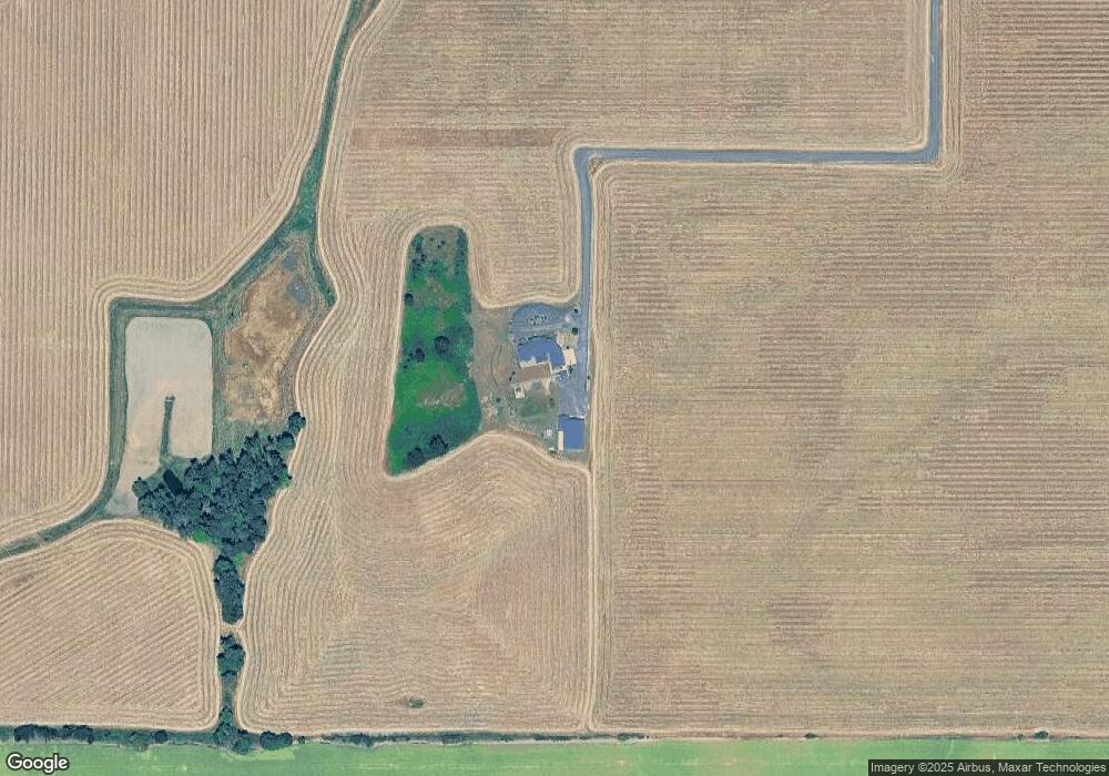
Map
Nearby Homes
- 13310 Monmouth Hwy
- 10042 Helmick Rd
- 10042/10044 Helmick Rd
- 361 Clay St W
- 130 Ackerman St W
- 368 Sunset Ln N
- 545 Warren St S
- 545 Warren St S Unit 12
- 297 Main St W
- 505 Broad St S
- 0 S Pacific Hwy W
- 0 S Pacific Hwy W Unit 1100+ 24617884
- 271 Clay St E
- 348 Main St E
- 191 Catron St S
- 145 Ecols St N
- 750 Beaton Ln
- 1176 Gwinn St E
- 952 Main St E
- 1390 Gwinn St E
- 0 Kings Valley (#204) Hwy Unit 758813
- 11180 Monmouth Hwy
- 10800 Monmouth Hwy
- 11270 Monmouth Hwy
- 11300 Monmouth Hwy
- 11235 Monmouth Hwy
- 11290 Monmouth Hwy
- 568 Walnut Ct S
- 544 Walnut Ct S
- 667 Falls City Hwy
- 561 Walnut Ct S
- 502 Walnut Ct S
- 543 Walnut Ct S
- 486 Walnut Dr S
- 521 Falls City Hwy
- 646 Falls City Hwy
- 675 Orchard Dr W
- 450 Walnut Dr S
- 600 Falls City Hwy
- 487 Walnut Dr S