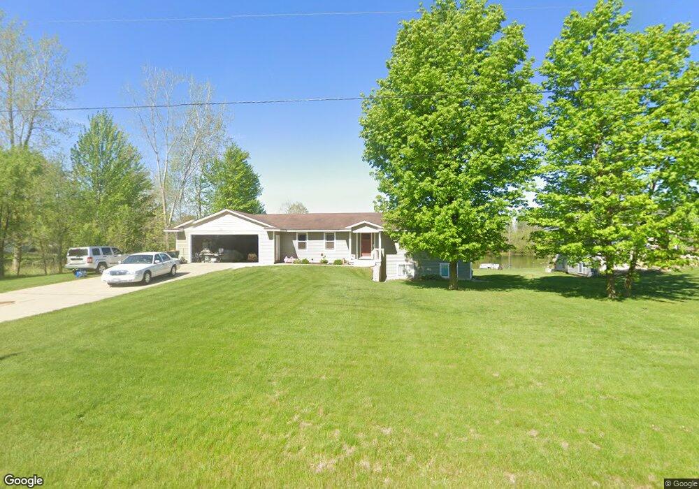
10751 52nd Ave Allendale, MI 49401
Estimated Value: $363,064 - $394,000
--
Bed
--
Bath
1,623
Sq Ft
$232/Sq Ft
Est. Value
About This Home
This home is located at 10751 52nd Ave, Allendale, MI 49401 and is currently estimated at $377,021, approximately $232 per square foot. 10751 52nd Ave is a home located in Ottawa County with nearby schools including Evergreen Elementary School, Allendale Middle School, and Allendale High School.
Ownership History
Date
Name
Owned For
Owner Type
Purchase Details
Closed on
Jun 19, 2007
Sold by
Deyoung & Ulberg Developments Llc
Bought by
Devries Dirk
Current Estimated Value
Home Financials for this Owner
Home Financials are based on the most recent Mortgage that was taken out on this home.
Original Mortgage
$135,000
Outstanding Balance
$83,983
Interest Rate
6.5%
Mortgage Type
Purchase Money Mortgage
Estimated Equity
$293,038
Create a Home Valuation Report for This Property
The Home Valuation Report is an in-depth analysis detailing your home's value as well as a comparison with similar homes in the area
Home Values in the Area
Average Home Value in this Area
Purchase History
| Date | Buyer | Sale Price | Title Company |
|---|---|---|---|
| Devries Dirk | $49,900 | Lighthouse Title Inc |
Source: Public Records
Mortgage History
| Date | Status | Borrower | Loan Amount |
|---|---|---|---|
| Open | Devries Dirk | $135,000 |
Source: Public Records
Tax History Compared to Growth
Tax History
| Year | Tax Paid | Tax Assessment Tax Assessment Total Assessment is a certain percentage of the fair market value that is determined by local assessors to be the total taxable value of land and additions on the property. | Land | Improvement |
|---|---|---|---|---|
| 2025 | $3,657 | $162,400 | $0 | $0 |
| 2024 | $3,349 | $151,700 | $0 | $0 |
| 2023 | $3,194 | $134,700 | $0 | $0 |
| 2022 | $3,322 | $121,300 | $0 | $0 |
| 2021 | $3,221 | $110,900 | $0 | $0 |
| 2020 | $3,182 | $104,900 | $0 | $0 |
| 2019 | $3,120 | $99,800 | $0 | $0 |
| 2018 | $2,968 | $89,400 | $0 | $0 |
| 2017 | $2,813 | $84,600 | $0 | $0 |
| 2016 | $2,814 | $79,800 | $0 | $0 |
| 2015 | -- | $77,600 | $0 | $0 |
| 2014 | -- | $68,900 | $0 | $0 |
Source: Public Records
Map
Nearby Homes
- 5241 Margot Ln
- 5325 Margot Ln
- 10738 Douglas Dr
- 5279 Windfield Dr
- 5361 Margot Ln
- 9653 52nd Ave
- 10902 Woodedge Dr Unit 38
- 10491 Rockfield Rd
- 10528 Camfield Ct
- 11045 Stanford Ave
- 11506 56th Ave
- 10786 Melanie Dr
- 6267 Vine Leaf Dr
- 10725 Melanie Dr
- 5541 Eric St
- The Austen Plan at Pearline Estates
- The McKinley Plan at Pearline Estates
- The Whitney Plan at Pearline Estates
- The Yukon Plan at Pearline Estates
- The Breckenridge Plan at Pearline Estates
- 10781 52nd Ave
- 10721 52nd Ave
- 10817 52nd Ave
- 10760 52nd Ave
- 10829 52nd Ave
- 10830 52nd Ave
- 10681 52nd Ave
- 10840 52nd Ave
- 10869 52nd Ave
- 5275 Margot Ln
- 5214 Margot Ln
- 10860 52nd Ave
- 10885 52nd Ave
- 5215 Margot Ln
- 5176 Circlewood Ln
- 10885 Circle Way
- 10897 52nd Ave
- 5164 Circlewood Ln Unit 6
- 10762 Douglas Dr
- 10750 Douglas Dr