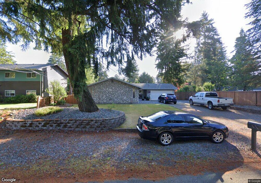
10753 Rampart Dr E Puyallup, WA 98374
Estimated Value: $504,139 - $579,000
4
Beds
2
Baths
1,446
Sq Ft
$365/Sq Ft
Est. Value
About This Home
This home is located at 10753 Rampart Dr E, Puyallup, WA 98374 and is currently estimated at $528,285, approximately $365 per square foot. 10753 Rampart Dr E is a home located in Pierce County with nearby schools including Sunrise Elementary School, Ferrucci Junior High School, and Emerald Ridge High School.
Ownership History
Date
Name
Owned For
Owner Type
Purchase Details
Closed on
Apr 3, 2001
Sold by
Spencer Eugene R
Bought by
Anderson Dwayne and Anderson Janet
Current Estimated Value
Home Financials for this Owner
Home Financials are based on the most recent Mortgage that was taken out on this home.
Original Mortgage
$144,328
Outstanding Balance
$53,878
Interest Rate
7.19%
Estimated Equity
$474,407
Create a Home Valuation Report for This Property
The Home Valuation Report is an in-depth analysis detailing your home's value as well as a comparison with similar homes in the area
Home Values in the Area
Average Home Value in this Area
Purchase History
| Date | Buyer | Sale Price | Title Company |
|---|---|---|---|
| Anderson Dwayne | $151,925 | Commonwealth Title Co |
Source: Public Records
Mortgage History
| Date | Status | Borrower | Loan Amount |
|---|---|---|---|
| Open | Anderson Dwayne | $144,328 |
Source: Public Records
Tax History Compared to Growth
Tax History
| Year | Tax Paid | Tax Assessment Tax Assessment Total Assessment is a certain percentage of the fair market value that is determined by local assessors to be the total taxable value of land and additions on the property. | Land | Improvement |
|---|---|---|---|---|
| 2025 | $4,398 | $456,000 | $210,700 | $245,300 |
| 2024 | $4,398 | $440,800 | $206,000 | $234,800 |
| 2023 | $4,398 | $412,400 | $195,300 | $217,100 |
| 2022 | $4,347 | $430,300 | $191,800 | $238,500 |
| 2021 | $4,012 | $306,900 | $121,300 | $185,600 |
| 2019 | $3,475 | $282,800 | $104,300 | $178,500 |
| 2018 | $3,516 | $264,100 | $95,900 | $168,200 |
| 2017 | $3,227 | $239,000 | $81,800 | $157,200 |
| 2016 | $2,836 | $187,100 | $65,400 | $121,700 |
| 2014 | $2,542 | $173,700 | $57,400 | $116,300 |
| 2013 | $2,542 | $154,800 | $50,200 | $104,600 |
Source: Public Records
Map
Nearby Homes
- 10811 Rampart Dr E
- 3501 27th St SE
- 3216 31st Ave SE
- 2921 Forest Rim Ct S
- 2926 Greenwood Ct S
- 10911 Shawnee Rd E
- 11720 130th Avenue Ct E
- 2331 40th Ave SE
- 12708 115th Street Ct E
- 2908 Greenwood Ct S
- 13712 116th Street Ct E
- 2822 29th Street Ct SE
- 4014 23rd St SE
- 2202 28th Ave SE
- 11618 Jennifer Ct E
- 4118 21st Street Place SE
- 11803 124th Ave E
- 12703 120th Street Ct E Unit 20
- 2503 25th St SE
- 12038 126th Avenue Ct E Unit 13
- 10747 Rampart Dr E
- 10758 133rd Ave E
- 10752 133rd Ave E
- 10735 Rampart Dr E
- 10746 133rd Ave E
- 10754 Rampart Dr E
- 10758 Rampart Dr E
- 10750 Rampart Dr E
- 10729 Rampart Dr E
- 10753 133rd Ave E
- 10801 Rampart Dr E
- 10725 Rampart Dr E
- 10742 133rd Ave E
- 10762 Rampart Dr E
- 13015 109th Street Ct E
- 10766 Rampart Dr E
- 10742 Rampart Dr E
- 10770 Rampart Dr E