Estimated Value: $711,000 - $1,269,510
--
Bed
2
Baths
3,551
Sq Ft
$262/Sq Ft
Est. Value
About This Home
This home is located at 10754 Highway 151, Trion, GA 30753 and is currently estimated at $929,503, approximately $261 per square foot. 10754 Highway 151 is a home located in Walker County with nearby schools including Naomi Elementary School, Lafayette Middle School, and Lafayette High School.
Ownership History
Date
Name
Owned For
Owner Type
Purchase Details
Closed on
Mar 31, 1997
Sold by
Martin John Derrick and Martin Brenda
Bought by
Martin John Derrick
Current Estimated Value
Purchase Details
Closed on
Nov 23, 1993
Sold by
Martin Ruby C
Bought by
Martin John Derrick and Martin Brenda
Purchase Details
Closed on
Jan 30, 1987
Sold by
Martin John W and Wf Ruby C
Bought by
Martin Ruby C and Martin John D
Purchase Details
Closed on
Jan 24, 1970
Sold by
Martin J W
Bought by
Martin John W and Wf Ruby C
Purchase Details
Closed on
Jan 1, 1910
Bought by
Martin J W
Create a Home Valuation Report for This Property
The Home Valuation Report is an in-depth analysis detailing your home's value as well as a comparison with similar homes in the area
Home Values in the Area
Average Home Value in this Area
Purchase History
| Date | Buyer | Sale Price | Title Company |
|---|---|---|---|
| Martin John Derrick | -- | -- | |
| Martin John Derrick | -- | -- | |
| Martin Ruby C | -- | -- | |
| Martin John W | -- | -- | |
| Martin J W | -- | -- |
Source: Public Records
Tax History Compared to Growth
Tax History
| Year | Tax Paid | Tax Assessment Tax Assessment Total Assessment is a certain percentage of the fair market value that is determined by local assessors to be the total taxable value of land and additions on the property. | Land | Improvement |
|---|---|---|---|---|
| 2024 | $5,565 | $429,154 | $200,894 | $228,260 |
| 2023 | $4,081 | $312,111 | $159,436 | $152,675 |
| 2022 | $3,734 | $240,449 | $111,621 | $128,828 |
| 2021 | $3,661 | $223,763 | $111,621 | $112,142 |
| 2020 | $3,313 | $206,307 | $111,621 | $94,686 |
| 2019 | $3,351 | $206,307 | $111,621 | $94,686 |
| 2018 | $5,459 | $206,307 | $111,621 | $94,686 |
| 2017 | $4,765 | $206,307 | $111,621 | $94,686 |
| 2016 | $3,467 | $206,307 | $111,621 | $94,686 |
| 2015 | $3,692 | $183,256 | $90,684 | $92,572 |
| 2014 | $3,474 | $183,256 | $90,684 | $92,572 |
| 2013 | -- | $183,256 | $90,684 | $92,571 |
Source: Public Records
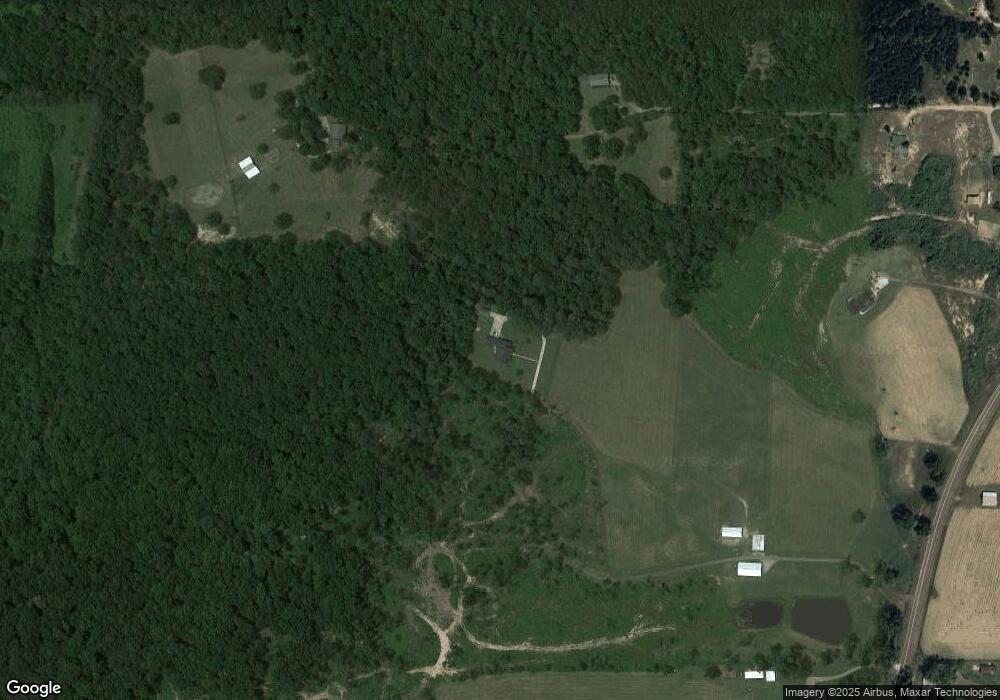
Map
Nearby Homes
- 86 Beard Dr
- 1511 Monroe Green Rd
- 9744 Highway 151
- 9744 Georgia 151
- 15 Old Lee School Rd
- 67 Old Warren School Rd
- 1570 Halls Valley Rd
- 97 Old Warren School Rd
- 161 Old Warren School Rd
- 224 Old Warren School Rd
- 236 Old Warren School Rd
- 254 Old Warren School Rd
- 626 Greenbush Rd
- 14 Hollis Ln
- 64 Hollis Ln
- 57 Hollis Ln
- 45 Hollis Ln
- 91 Lee Edwards Dr
- 91 Lee Edwards Dr
- 3300 Halls Valley Rd
- 382 Beard Dr
- 543 Beard Dr
- 10572 Highway 151
- 167 Beard Dr
- 10854 Highway 151
- 10679 Highway 151
- 10869 Highway 151
- 10869 Hwy 151
- 10968 Highway 151
- 115 Beard Dr
- 10430 Highway 151
- 11228 Highway 151
- 0 Hwy 151 Unit 1167904
- 0 Hwy 151 Unit 3116259
- 0 Hwy 151 Unit 7586190
- 0 Highway 151 Unit 7592734
- 0 Hwy 151 Unit 1042955
- 0 Hwy 151 Unit 1036127
- 0 Hwy 151 Unit 1020498
- 0 Hwy 151 Unit 1008725