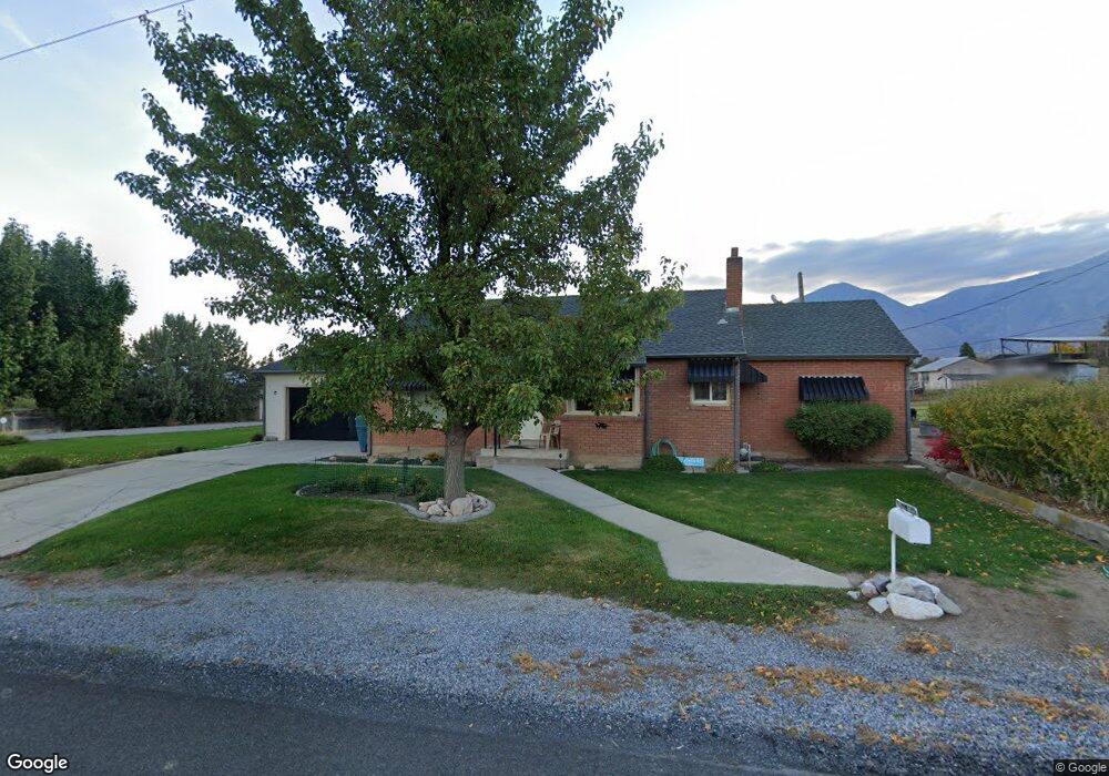
10755 S 2100 W Payson, UT 84651
Estimated Value: $548,459 - $771,000
4
Beds
1
Bath
1,344
Sq Ft
$467/Sq Ft
Est. Value
About This Home
This home is located at 10755 S 2100 W, Payson, UT 84651 and is currently estimated at $627,865, approximately $467 per square foot. 10755 S 2100 W is a home located in Utah County with nearby schools including Barnett Elementary School, Salem Junior High School, and Valley View Middle School.
Ownership History
Date
Name
Owned For
Owner Type
Purchase Details
Closed on
Nov 24, 2014
Sold by
Haskell Ludean S and Haskell Leo Dwane
Bought by
Haskell Ludean S and Leo & Ludean Haskell Family Tr
Current Estimated Value
Purchase Details
Closed on
Apr 13, 2009
Sold by
Haskell Leo and Haskell Ludean S
Bought by
Haskell Leo Dwane and Haskell Ludean S
Create a Home Valuation Report for This Property
The Home Valuation Report is an in-depth analysis detailing your home's value as well as a comparison with similar homes in the area
Home Values in the Area
Average Home Value in this Area
Purchase History
| Date | Buyer | Sale Price | Title Company |
|---|---|---|---|
| Haskell Ludean S | -- | None Available | |
| Haskell Leo Dwane | -- | None Available |
Source: Public Records
Tax History Compared to Growth
Tax History
| Year | Tax Paid | Tax Assessment Tax Assessment Total Assessment is a certain percentage of the fair market value that is determined by local assessors to be the total taxable value of land and additions on the property. | Land | Improvement |
|---|---|---|---|---|
| 2025 | $2,228 | $224,059 | $223,300 | $294,700 |
| 2024 | $2,228 | $222,663 | $0 | $0 |
| 2023 | $2,301 | $230,223 | $0 | $0 |
| 2022 | $2,285 | $522,300 | $226,800 | $295,500 |
| 2021 | $1,974 | $384,200 | $162,000 | $222,200 |
| 2020 | $1,684 | $357,200 | $135,000 | $222,200 |
| 2019 | $1,517 | $312,000 | $110,000 | $202,000 |
| 2018 | $1,511 | $281,100 | $90,000 | $191,100 |
| 2017 | $1,555 | $120,878 | $0 | $0 |
| 2016 | $1,569 | $118,305 | $0 | $0 |
| 2015 | $1,495 | $111,760 | $0 | $0 |
| 2014 | $1,494 | $111,760 | $0 | $0 |
Source: Public Records
Map
Nearby Homes
- 585 S 1200 E
- 753 N Emery Ln Unit 57
- 678 N Mountain View Dr
- 552 E Longview Dr Unit 29
- 350 E Meadow Lark Ln Unit 9
- 1000 S Goosenest Dr W
- 643 E Longview Dr Unit 8
- 942 W Wilcock Cove
- 4100 W 12400 S
- 761 N Birch Ln Unit 64
- 554 E Salem Hills Dr S Unit 2
- 61 S Lighthouse Cir Unit 14
- 627 E Birch N Unit 68
- 1287 S 500 E Unit 134
- 1352 N 1440 E Unit 21
- 526 E Sophie Cir Unit 1
- 700 S Hillside Dr E
- 792 N Mountain Dr
- 791 N Emery Ln Unit 55
- 648 N Cosette Cove E Unit 5
- 10787 S 2100 W
- 2040 W Salem Canal Rd
- 2115 W Salem Canal Rd
- 2053 W Salem Canal Rd
- 10733 S 2100 W
- 2037 W Salem Canal Rd
- 2026 W Salem Canal Rd
- 583 S 1400 E
- 2189 W Salem Canal Rd
- 619 S 1400 E
- 10668 S 2100 W
- 633 S 1400 E
- 645 S 1400 E
- 2197 W Salem Canal Rd
- 1979 W Salem Canal Rd
- 2276 W Salem Canal Rd
- 622 S 1400 E
- 622 S 1400 E Unit 31
- 636 S 1400 E Unit 32
- 644 S 1400 E