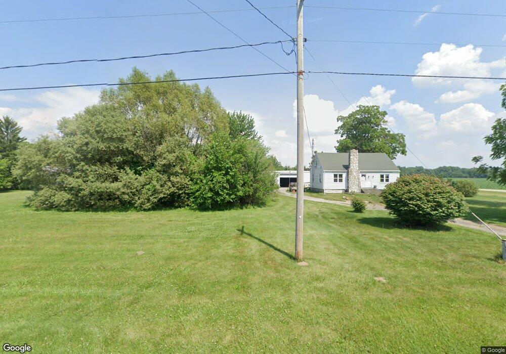
10755 State Route 295 Grand Rapids, OH 43522
West Lucas County NeighborhoodEstimated Value: $202,759 - $264,000
3
Beds
1
Bath
1,404
Sq Ft
$163/Sq Ft
Est. Value
About This Home
This home is located at 10755 State Route 295, Grand Rapids, OH 43522 and is currently estimated at $228,690, approximately $162 per square foot. 10755 State Route 295 is a home located in Lucas County with nearby schools including Otsego Elementary School, Otsego Junior High School, and Otsego High School.
Ownership History
Date
Name
Owned For
Owner Type
Purchase Details
Closed on
Dec 28, 1987
Sold by
Jeffers D C and J C
Current Estimated Value
Create a Home Valuation Report for This Property
The Home Valuation Report is an in-depth analysis detailing your home's value as well as a comparison with similar homes in the area
Home Values in the Area
Average Home Value in this Area
Purchase History
| Date | Buyer | Sale Price | Title Company |
|---|---|---|---|
| -- | $74,500 | -- |
Source: Public Records
Tax History Compared to Growth
Tax History
| Year | Tax Paid | Tax Assessment Tax Assessment Total Assessment is a certain percentage of the fair market value that is determined by local assessors to be the total taxable value of land and additions on the property. | Land | Improvement |
|---|---|---|---|---|
| 2024 | $1,093 | $45,955 | $11,900 | $34,055 |
| 2023 | $2,208 | $43,785 | $9,870 | $33,915 |
| 2022 | $2,236 | $43,785 | $9,870 | $33,915 |
| 2021 | $2,237 | $43,785 | $9,870 | $33,915 |
| 2020 | $1,926 | $35,455 | $7,945 | $27,510 |
| 2019 | $1,879 | $35,455 | $7,945 | $27,510 |
| 2018 | $1,795 | $35,455 | $7,945 | $27,510 |
| 2017 | $1,828 | $35,490 | $7,770 | $27,720 |
| 2016 | $1,799 | $101,400 | $22,200 | $79,200 |
| 2015 | $1,813 | $101,400 | $22,200 | $79,200 |
| 2014 | $1,857 | $34,790 | $7,630 | $27,160 |
| 2013 | $1,857 | $34,790 | $7,630 | $27,160 |
Source: Public Records
Map
Nearby Homes
- 12200 S River Rd
- 10855 S River Rd
- 0 Manore Lot A Rd Unit 6130402
- 0 Manore Lot B Rd Unit 6130403
- 0 W River Rd Unit 10000155
- 9100 Prov Neap Swan Rd
- 14060 Harrison Rd
- 17645 Sycamore Rd
- 23763 Front St
- 23912 E 2nd St
- 0 Scott Rd
- 0 Kellogg Rd Unit 6125521
- 24432 W 3rd St
- 22888 Wintergreen Rd
- 24525 Village Ln Unit 24525
- 19330 Tuller Rd
- U344 County Road 2
- U266 County Road 2
- 11500 Stiles Rd
- 17267 Reams Rd
- 11868 Pollack Rd
- 10723 Berkey Southern Rd
- 1 S Berkey Southern Rd
- LOT 3 S Berkey Southern Rd
- LOT 2 S Berkey Southern Rd
- 0 S Berkey Southern Rd
- 0 Pollock Rd
- 10740 State Route 295
- 10710 S Berkey Southern Rd
- 11800 Pollack Rd
- 10720 State Route 295
- 10710 State Route 295
- 10660 State Route 295
- 11730 Pollack Rd
- 10624 State Route 295
- 11706 Pollack Rd
- 10611 State Route 295
- 10614 State Route 295
- 11655 Pollack Rd
- 10576 State Route 295