107551 State Highway 64b Muldrow, OK 74948
Estimated Value: $371,154 - $639,000
3
Beds
2
Baths
3,090
Sq Ft
$156/Sq Ft
Est. Value
About This Home
This home is located at 107551 State Highway 64b, Muldrow, OK 74948 and is currently estimated at $481,289, approximately $155 per square foot. 107551 State Highway 64b is a home located in Sequoyah County with nearby schools including Muldrow Elementary School, Muldrow Middle School, and Muldrow High School.
Ownership History
Date
Name
Owned For
Owner Type
Purchase Details
Closed on
Jan 17, 2023
Sold by
Kimberly D Taylor Living Trust
Bought by
Rye Brett M
Current Estimated Value
Home Financials for this Owner
Home Financials are based on the most recent Mortgage that was taken out on this home.
Original Mortgage
$167,000
Outstanding Balance
$161,577
Interest Rate
6.33%
Mortgage Type
New Conventional
Estimated Equity
$319,712
Purchase Details
Closed on
Nov 2, 2022
Sold by
Ransom Jeffery Paul and Ransom Tori
Bought by
Ransom Jeffery Paul and Ransom Tori
Purchase Details
Closed on
Jan 13, 2017
Sold by
Ransom Jeff and Ransom Tori
Bought by
Ransom Joe Fate
Home Financials for this Owner
Home Financials are based on the most recent Mortgage that was taken out on this home.
Original Mortgage
$285,000
Interest Rate
3.25%
Mortgage Type
USDA
Purchase Details
Closed on
Apr 5, 1994
Sold by
Cluck Sheila J
Bought by
Ransom Jeffery and Ransom Tori
Create a Home Valuation Report for This Property
The Home Valuation Report is an in-depth analysis detailing your home's value as well as a comparison with similar homes in the area
Home Values in the Area
Average Home Value in this Area
Purchase History
| Date | Buyer | Sale Price | Title Company |
|---|---|---|---|
| Rye Brett M | $457,000 | Valley Land Title | |
| Ransom Jeffery Paul | -- | -- | |
| Ransom Joe Fate | $285,000 | None Available | |
| Ransom Jeffery | $20,000 | -- |
Source: Public Records
Mortgage History
| Date | Status | Borrower | Loan Amount |
|---|---|---|---|
| Open | Rye Brett M | $167,000 | |
| Previous Owner | Ransom Joe Fate | $285,000 |
Source: Public Records
Tax History Compared to Growth
Tax History
| Year | Tax Paid | Tax Assessment Tax Assessment Total Assessment is a certain percentage of the fair market value that is determined by local assessors to be the total taxable value of land and additions on the property. | Land | Improvement |
|---|---|---|---|---|
| 2024 | $1,555 | $22,220 | $1,143 | $21,077 |
| 2023 | $1,508 | $21,572 | $1,148 | $20,424 |
| 2022 | $1,417 | $20,944 | $1,144 | $19,800 |
| 2021 | $1,374 | $20,945 | $1,183 | $19,762 |
| 2020 | $1,332 | $19,742 | $1,099 | $18,643 |
| 2019 | $1,291 | $19,167 | $1,058 | $18,109 |
| 2018 | $1,251 | $18,608 | $340 | $18,268 |
| 2017 | $1,020 | $15,349 | $330 | $15,019 |
| 2016 | $988 | $14,902 | $330 | $14,572 |
| 2015 | $957 | $14,467 | $330 | $14,137 |
| 2014 | $927 | $14,046 | $330 | $13,716 |
Source: Public Records
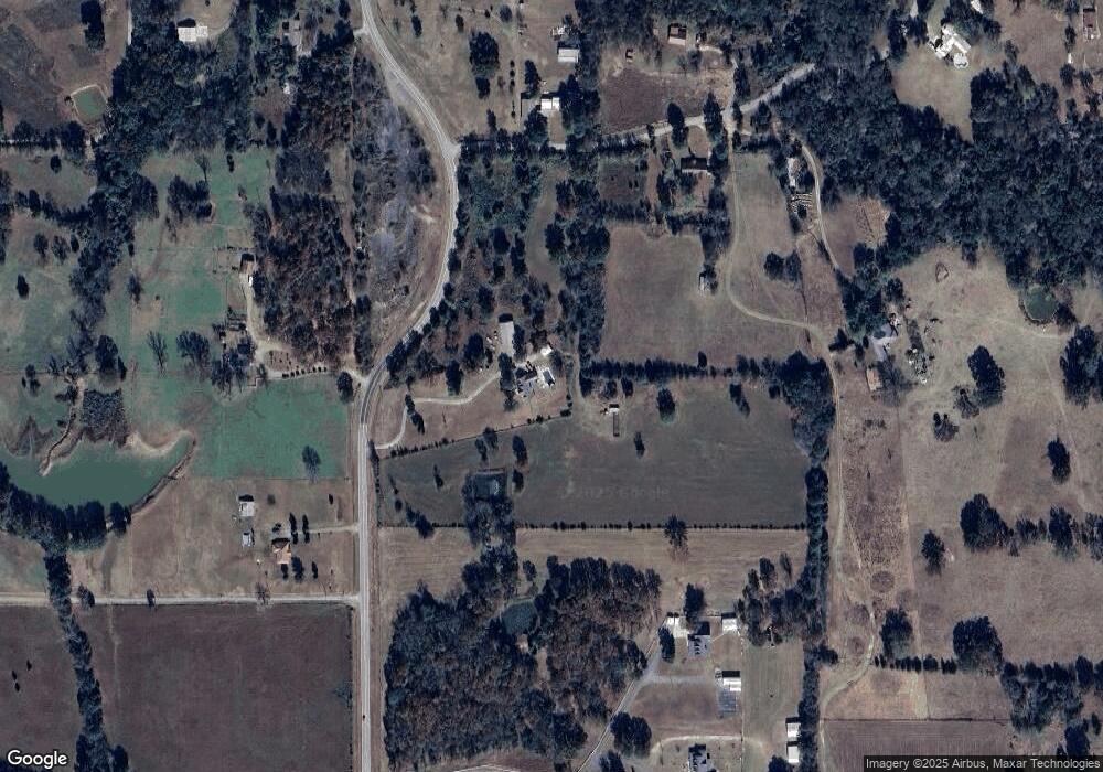
Map
Nearby Homes
- TBD S 4727 Rd
- 107774 S 4720
- 471804 E 1070 Rd
- 108412 S 4720 Rd
- 475745 E 1083 Rd
- 471703 E 1083 Rd
- 106214 S 4720 Rd
- 109651 S 4720 Rd
- 105629 S 4730 Rd
- 106078 S 4715 Rd
- Tbd Water Tower Rd
- 203 Pendergrass St
- 109365 S 4749 Rd
- 106438 S 4757 Rd
- 103 NE 1st St
- TBD S 4720 Rd
- 106219 S 4757 Rd
- 1 Oklahoma 64b
- 304 Oakdale Rd
- 101 NE 2nd St
- 473146 E 1075 Rd
- 473095 E 1075 Rd
- 107516 State Highway 64b
- 107516 Oklahoma 64b
- 107594 State Highway 64b
- 107207 State Highway 64b
- 107249 State Highway 64b
- 472936 E 1073 Rd
- 472902 E 1073 Rd
- 107784 State Highway 64b
- 473405 E 1075 Rd
- 107630 State Highway 64b
- 107630 State Highway 64b
- 473300 E 1075 Rd
- 472905 E 1073 Rd
- 470063 E 1086 Rd
- 107733 Hwy 64b
- 107084 State Highway 64b
- 472655 E 1073 Rd
- 107025 State Highway 64b