1076 Anderson Ave Coos Bay, OR 97420
Estimated Value: $361,433 - $457,000
4
Beds
2
Baths
2,100
Sq Ft
$195/Sq Ft
Est. Value
About This Home
This home is located at 1076 Anderson Ave, Coos Bay, OR 97420 and is currently estimated at $409,217, approximately $194 per square foot. 1076 Anderson Ave is a home located in Coos County with nearby schools including Eastside School, Millicoma School, and Marshfield Senior High School.
Ownership History
Date
Name
Owned For
Owner Type
Purchase Details
Closed on
Apr 20, 2022
Sold by
Kirk Wilson
Bought by
Beckham Jessica
Current Estimated Value
Home Financials for this Owner
Home Financials are based on the most recent Mortgage that was taken out on this home.
Original Mortgage
$314,500
Outstanding Balance
$259,068
Interest Rate
4.17%
Mortgage Type
New Conventional
Estimated Equity
$150,149
Purchase Details
Closed on
Apr 15, 2009
Sold by
Wilson Dave
Bought by
Wilson Kirk
Create a Home Valuation Report for This Property
The Home Valuation Report is an in-depth analysis detailing your home's value as well as a comparison with similar homes in the area
Home Values in the Area
Average Home Value in this Area
Purchase History
| Date | Buyer | Sale Price | Title Company |
|---|---|---|---|
| Beckham Jessica | $370,000 | Ticor Title | |
| Wilson Kirk | $5,000 | None Available |
Source: Public Records
Mortgage History
| Date | Status | Borrower | Loan Amount |
|---|---|---|---|
| Open | Beckham Jessica | $314,500 |
Source: Public Records
Tax History Compared to Growth
Tax History
| Year | Tax Paid | Tax Assessment Tax Assessment Total Assessment is a certain percentage of the fair market value that is determined by local assessors to be the total taxable value of land and additions on the property. | Land | Improvement |
|---|---|---|---|---|
| 2024 | $2,348 | $135,110 | -- | -- |
| 2023 | $2,277 | $131,180 | $0 | $0 |
| 2022 | $2,240 | $127,360 | $0 | $0 |
| 2021 | $2,182 | $123,660 | $0 | $0 |
| 2020 | $2,121 | $123,660 | $0 | $0 |
| 2019 | $2,036 | $116,570 | $0 | $0 |
| 2018 | $1,966 | $113,180 | $0 | $0 |
| 2017 | $1,742 | $109,890 | $0 | $0 |
| 2016 | $1,663 | $106,690 | $0 | $0 |
| 2015 | $1,550 | $103,590 | $0 | $0 |
| 2014 | $1,550 | $100,580 | $0 | $0 |
Source: Public Records
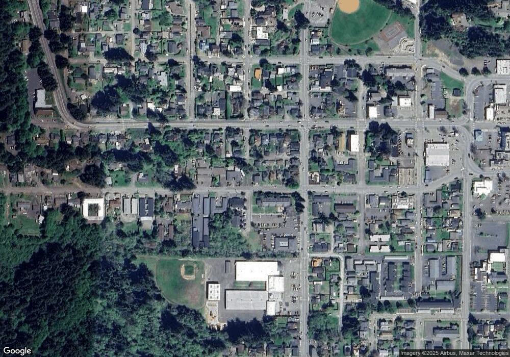
Map
Nearby Homes
- 173 N 11th St
- 1231 Central Ave
- 1048 Elrod Ave
- 1311 Central Ave
- 790 Commercial Ave
- 1381 Central Ave
- 0 Elrod Ave
- 539 S 12th St
- 625 S 9th St
- 643 S 12th Ct
- 620 N 9th St
- 560 N 10th St
- 731 Elrod Ave
- 0 N 9th St Unit 1600 22450966
- 780 N 10th St
- 834 S 11th St
- 831 S 11th St
- 0 S 5th St
- 830 Signal Way
- 1320 Ingersoll St
- 1076 Anderson Ave
- -1 W Anderson Ave
- 1072 Anderson Ave
- 1058 Anderson Ave
- 1058 Anderson Ave
- 1140 Anderson Ave
- 1040 Anderson Ave
- 1150 W Anderson
- 1030 Anderson Ave
- 1123 Anderson Ave
- 1089 Central Ave
- 149 S 11th St
- 1069 Central Ave
- 1059 Central Ave
- 171 S 10th St
- 1150 Anderson Ave
- 1155 W Anderson
- 163 S 10th St
- 1125 Central Ave
- 1109 Central Ave