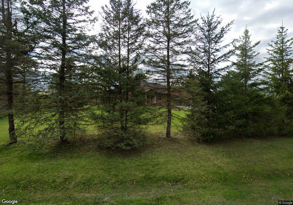
1076 Bandera Dr Ann Arbor, MI 48103
Estimated Value: $652,923 - $712,000
3
Beds
4
Baths
2,674
Sq Ft
$257/Sq Ft
Est. Value
About This Home
This home is located at 1076 Bandera Dr, Ann Arbor, MI 48103 and is currently estimated at $685,981, approximately $256 per square foot. 1076 Bandera Dr is a home located in Washtenaw County with nearby schools including Lakewood Elementary School, Slauson Middle School, and Pioneer High School.
Ownership History
Date
Name
Owned For
Owner Type
Purchase Details
Closed on
Jan 29, 2004
Sold by
Al Qadi Ali M
Bought by
Al Qadi Ali M and Ali M Al Qadi Revocable Living
Current Estimated Value
Purchase Details
Closed on
Feb 5, 2003
Sold by
Al Qadi Ali M
Bought by
Al Qadi Ali M and Ali M Al Qadi Revocable Living
Home Financials for this Owner
Home Financials are based on the most recent Mortgage that was taken out on this home.
Original Mortgage
$133,000
Interest Rate
6%
Mortgage Type
Balloon
Create a Home Valuation Report for This Property
The Home Valuation Report is an in-depth analysis detailing your home's value as well as a comparison with similar homes in the area
Home Values in the Area
Average Home Value in this Area
Purchase History
| Date | Buyer | Sale Price | Title Company |
|---|---|---|---|
| Al Qadi Ali M | -- | -- | |
| Al Qadi Ali M | -- | Liberty Title Agency | |
| Al Qadi Ali M | -- | Liberty Title Agency |
Source: Public Records
Mortgage History
| Date | Status | Borrower | Loan Amount |
|---|---|---|---|
| Closed | Al Qadi Ali M | $133,000 |
Source: Public Records
Tax History Compared to Growth
Tax History
| Year | Tax Paid | Tax Assessment Tax Assessment Total Assessment is a certain percentage of the fair market value that is determined by local assessors to be the total taxable value of land and additions on the property. | Land | Improvement |
|---|---|---|---|---|
| 2025 | -- | $310,400 | $0 | $0 |
| 2024 | $4,995 | $290,100 | $0 | $0 |
| 2023 | $4,799 | $235,400 | $0 | $0 |
| 2022 | $6,733 | $238,900 | $0 | $0 |
| 2021 | $6,396 | $235,200 | $0 | $0 |
| 2020 | $6,539 | $227,800 | $0 | $0 |
| 2019 | $6,041 | $216,600 | $216,600 | $0 |
| 2018 | $5,896 | $180,600 | $0 | $0 |
| 2017 | $5,677 | $195,800 | $0 | $0 |
| 2016 | $3,989 | $156,855 | $0 | $0 |
| 2015 | -- | $156,386 | $0 | $0 |
| 2014 | -- | $151,500 | $0 | $0 |
| 2013 | -- | $151,500 | $0 | $0 |
Source: Public Records
Map
Nearby Homes
- 1480 Shevchenko Dr
- 2001 Commerce Dr
- 5717 Villa France Ave Unit 78
- 4944 Scio Church Rd
- #24 Loon Ln
- #53 Loon Ln
- 331 Scio Village Ct Unit 288
- 560 Little Lake Dr Unit 23
- The Granada Plan at Cranbrook of Scio
- The Champlain Plan at Cranbrook of Scio
- The Palisade Plan at Cranbrook of Scio
- 6895 Park Road Park Rd
- 4870 Lytham Ln
- 5776 Cedar Ridge Dr
- 5508 Gallery Park Dr Unit 1
- 6016 Quebec Ave Unit 240
- 4445 Oriole Ct
- 4257 Loon Ln
- 4261 Loon Ln
- 4290 Duck Dr Unit 18
- 1054 Bandera Dr
- 1100 Bandera Dr
- 0 Bandera Dr
- 1130 Bandera Dr
- 1081 Bandera Dr
- 5237 W Liberty Rd
- 5310 Arbor Meadow Ln
- 5215 W Liberty Rd
- 1059 Bandera Dr
- 1210 Shevchenko Dr
- 5175 W Liberty Rd
- 1171 Bandera Dr
- 5141 W Liberty Rd
- 5272 Salzburg Ct
- 1236 Shevchenko Dr
- 5350 Arbor Meadow Ln
- 5272 W Liberty Rd
- 1080 Bandera Dr
- 996 Gallery Ln
- 1162 Bandera Dr