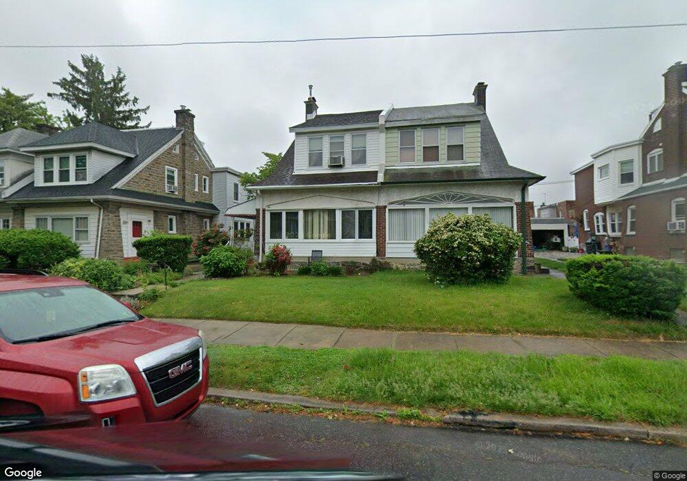
1076 Granite St Philadelphia, PA 19124
Frankford NeighborhoodEstimated Value: $276,000 - $356,000
4
Beds
1
Bath
1,980
Sq Ft
$155/Sq Ft
Est. Value
About This Home
This home is located at 1076 Granite St, Philadelphia, PA 19124 and is currently estimated at $307,702, approximately $155 per square foot. 1076 Granite St is a home located in Philadelphia County with nearby schools including Frankford High School, The Philadelphia Charter School for the Arts & Sciences, and Northwood Academy Charter School.
Ownership History
Date
Name
Owned For
Owner Type
Purchase Details
Closed on
Apr 10, 2002
Sold by
Paris Michael J and Paris Teresa
Bought by
Smith Debra
Current Estimated Value
Home Financials for this Owner
Home Financials are based on the most recent Mortgage that was taken out on this home.
Original Mortgage
$114,098
Outstanding Balance
$47,628
Interest Rate
7.05%
Mortgage Type
FHA
Estimated Equity
$260,074
Create a Home Valuation Report for This Property
The Home Valuation Report is an in-depth analysis detailing your home's value as well as a comparison with similar homes in the area
Home Values in the Area
Average Home Value in this Area
Purchase History
| Date | Buyer | Sale Price | Title Company |
|---|---|---|---|
| Smith Debra | $115,000 | -- |
Source: Public Records
Mortgage History
| Date | Status | Borrower | Loan Amount |
|---|---|---|---|
| Open | Smith Debra | $114,098 |
Source: Public Records
Tax History Compared to Growth
Tax History
| Year | Tax Paid | Tax Assessment Tax Assessment Total Assessment is a certain percentage of the fair market value that is determined by local assessors to be the total taxable value of land and additions on the property. | Land | Improvement |
|---|---|---|---|---|
| 2026 | $3,120 | $275,200 | $55,040 | $220,160 |
| 2025 | $3,120 | $275,200 | $55,040 | $220,160 |
| 2024 | $3,120 | $275,200 | $55,040 | $220,160 |
| 2023 | $3,120 | $222,900 | $44,580 | $178,320 |
| 2022 | $1,803 | $177,900 | $44,580 | $133,320 |
| 2021 | $2,433 | $0 | $0 | $0 |
| 2020 | $2,433 | $0 | $0 | $0 |
| 2019 | $2,335 | $0 | $0 | $0 |
| 2018 | $2,221 | $0 | $0 | $0 |
| 2017 | $2,221 | $0 | $0 | $0 |
| 2016 | $1,802 | $0 | $0 | $0 |
| 2015 | $1,725 | $0 | $0 | $0 |
| 2014 | -- | $158,700 | $52,800 | $105,900 |
| 2012 | -- | $22,752 | $3,793 | $18,959 |
Source: Public Records
Map
Nearby Homes
- 1048 Bridge St
- 1137 Bridge St
- 1204 Pratt St
- 5659 Miriam Rd
- 5661 Miriam Rd
- 1218 Pratt St
- 1220 Pratt St
- 5640 Miriam Rd
- 5347 Sylvester St
- 1244 E Sanger St
- 5505 Loretto Ave
- 5118 Oakland St
- 996 Anchor St
- 991 Carver St
- 1208 Haworth St
- 1431 Rosalie St
- 5304 Akron St
- 1214 Haworth St
- 5241 Akron St
- 1052 Allengrove St
- 1082 Granite St
- 1074 Granite St
- 1084 Granite St
- 1068 Granite St
- 1079 Pratt St
- 1081 Pratt St
- 1066 Granite St
- 1075 Pratt St
- 1060 Granite St
- 1073 Pratt St
- 1083 Pratt St
- 1083 Granite St
- 1079 Granite St
- 1077 Pratt St
- 1058 Granite St
- 1069 Pratt St
- 1077 Granite St
- 1071 Granite St
- 1071 Pratt St
- 1069 Granite St