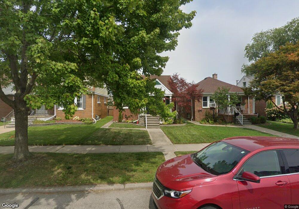
1076 Mollno St Wyandotte, MI 48192
Estimated Value: $129,000 - $142,000
--
Bed
1
Bath
624
Sq Ft
$221/Sq Ft
Est. Value
About This Home
This home is located at 1076 Mollno St, Wyandotte, MI 48192 and is currently estimated at $137,748, approximately $220 per square foot. 1076 Mollno St is a home located in Wayne County with nearby schools including Washington Elementary School, Woodrow Wilson School, and Roosevelt High School.
Ownership History
Date
Name
Owned For
Owner Type
Purchase Details
Closed on
Apr 14, 2025
Sold by
Casetti Peter and Ryan Constance Lynn
Bought by
Casetti Peter and Ryan Constance Lynn
Current Estimated Value
Purchase Details
Closed on
Apr 11, 2025
Sold by
Casetti Peter and Ryan Constance Lynn
Bought by
Casetti Peter and Ryan Constance Lynn
Purchase Details
Closed on
Feb 27, 2024
Sold by
Ryan Constance Lynn and Ryan Peter
Bought by
Ryan Constance Lynn and Czopek Kevin
Purchase Details
Closed on
Nov 9, 2012
Sold by
Ryan Constance and Truskolaski Charles
Bought by
Ryan Constance
Purchase Details
Closed on
Nov 15, 1999
Sold by
Christie Edward A
Bought by
Truskolaski Charles
Purchase Details
Closed on
Apr 6, 1998
Sold by
Har Arlene S and Har Kathryn M
Bought by
Christie Edward and Christie Margarita
Create a Home Valuation Report for This Property
The Home Valuation Report is an in-depth analysis detailing your home's value as well as a comparison with similar homes in the area
Home Values in the Area
Average Home Value in this Area
Purchase History
| Date | Buyer | Sale Price | Title Company |
|---|---|---|---|
| Casetti Peter | -- | None Listed On Document | |
| Casetti Peter | -- | None Listed On Document | |
| Casetti Peter | -- | None Listed On Document | |
| Casetti Peter | -- | None Listed On Document | |
| Casetti Peter | -- | None Listed On Document | |
| Casetti Peter | -- | None Listed On Document | |
| Ryan Constance Lynn | -- | Land Title | |
| Ryan Constance Lynn | -- | Land Title | |
| Ryan Constance | -- | Lsi Lps | |
| Truskolaski Charles | $83,900 | -- | |
| Christie Edward | -- | -- |
Source: Public Records
Tax History Compared to Growth
Tax History
| Year | Tax Paid | Tax Assessment Tax Assessment Total Assessment is a certain percentage of the fair market value that is determined by local assessors to be the total taxable value of land and additions on the property. | Land | Improvement |
|---|---|---|---|---|
| 2025 | $1,297 | $60,800 | $0 | $0 |
| 2024 | $1,297 | $58,900 | $0 | $0 |
| 2023 | $1,237 | $54,600 | $0 | $0 |
| 2022 | $1,433 | $49,500 | $0 | $0 |
| 2021 | $1,405 | $45,600 | $0 | $0 |
| 2020 | $1,385 | $40,900 | $0 | $0 |
| 2019 | $1,366 | $35,800 | $0 | $0 |
| 2018 | $1,090 | $28,900 | $0 | $0 |
| 2017 | $478 | $28,900 | $0 | $0 |
| 2016 | $1,319 | $26,800 | $0 | $0 |
| 2015 | $2,353 | $24,900 | $0 | $0 |
| 2013 | $2,280 | $22,800 | $0 | $0 |
| 2012 | $1,059 | $23,900 | $6,000 | $17,900 |
Source: Public Records
Map
Nearby Homes
- 1070 Mollno St
- 1082 Mollno St
- 1088 Mollno St
- 1064 Mollno St
- 1058 Mollno St
- 1100 Mollno St
- 1052 Mollno St
- 1085 Mulberry St
- 1069 Mulberry St
- 1108 Mollno St
- 1093 Mulberry St
- 1063 Mulberry St
- 1077 Mulberry St
- 1083 Mollno St
- 1071 Mollno St
- 1040 Mollno St
- 1112 Mollno St
- 1089 Mollno St
- 1065 Mollno St
- 1109 Mulberry St