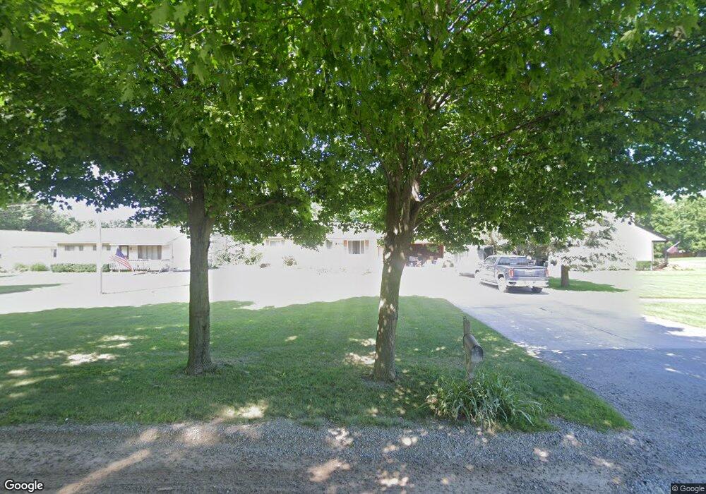
1076 Newman Rd Oxford, MI 48371
Estimated Value: $303,820 - $333,000
3
Beds
1
Bath
1,134
Sq Ft
$283/Sq Ft
Est. Value
About This Home
This home is located at 1076 Newman Rd, Oxford, MI 48371 and is currently estimated at $320,455, approximately $282 per square foot. 1076 Newman Rd is a home located in Oakland County with nearby schools including Clear Lake Elementary School, Oxford Middle School, and Oxford High School.
Ownership History
Date
Name
Owned For
Owner Type
Purchase Details
Closed on
Oct 30, 2024
Sold by
Bossler Lawrence and Bossler Kimberly A
Bought by
Wallace Dennis and Wallace Samantha
Current Estimated Value
Purchase Details
Closed on
Jan 30, 2006
Sold by
Bossler Lawrence
Bought by
Bossler Kimberly A and Bossler Lawrence
Purchase Details
Closed on
Jun 29, 2000
Sold by
Sigmund Michael H
Bought by
Bossler Lawrence
Purchase Details
Closed on
Mar 21, 1995
Sold by
Robinson Kenneth V
Bought by
Sigmund Michael H
Home Financials for this Owner
Home Financials are based on the most recent Mortgage that was taken out on this home.
Original Mortgage
$98,900
Interest Rate
8.82%
Mortgage Type
New Conventional
Create a Home Valuation Report for This Property
The Home Valuation Report is an in-depth analysis detailing your home's value as well as a comparison with similar homes in the area
Home Values in the Area
Average Home Value in this Area
Purchase History
| Date | Buyer | Sale Price | Title Company |
|---|---|---|---|
| Wallace Dennis | -- | None Listed On Document | |
| Wallace Dennis | -- | None Listed On Document | |
| Bossler Kimberly A | -- | None Available | |
| Bossler Lawrence | $151,000 | -- | |
| Sigmund Michael H | $109,900 | -- |
Source: Public Records
Mortgage History
| Date | Status | Borrower | Loan Amount |
|---|---|---|---|
| Previous Owner | Sigmund Michael H | $98,900 | |
| Closed | Bossler Lawrence | -- |
Source: Public Records
Tax History Compared to Growth
Tax History
| Year | Tax Paid | Tax Assessment Tax Assessment Total Assessment is a certain percentage of the fair market value that is determined by local assessors to be the total taxable value of land and additions on the property. | Land | Improvement |
|---|---|---|---|---|
| 2024 | $1,506 | $123,960 | $0 | $0 |
| 2023 | $1,436 | $113,830 | $0 | $0 |
| 2022 | $2,224 | $105,990 | $0 | $0 |
| 2021 | $2,126 | $100,020 | $0 | $0 |
| 2020 | $1,357 | $96,320 | $0 | $0 |
| 2019 | $1,986 | $92,260 | $0 | $0 |
| 2018 | $1,948 | $86,770 | $0 | $0 |
| 2017 | $1,869 | $84,600 | $0 | $0 |
| 2016 | $1,865 | $80,300 | $0 | $0 |
| 2015 | -- | $75,050 | $0 | $0 |
| 2014 | -- | $69,720 | $0 | $0 |
| 2011 | -- | $56,250 | $0 | $0 |
Source: Public Records
Map
Nearby Homes
- 1628 Royal Birkdale Dr Unit 76
- 1612 Royal Birkdale Dr Unit 77
- 1320 W Drahner Rd
- 1315 Beemer Ct
- 1667 Royal Birkdale Dr
- 967 Keith St
- 1126 Watersmeet Dr
- 774 Keith St
- 2060 W Drahner Rd
- 1910 Royal Birkdale Dr
- 1060 Tinley Blvd
- 948 Watersmeet Dr
- 302 Tanview Dr
- 1611 Harwood Dr
- 1 Pinery Ct
- 861 Seymour Lake Rd
- 1858 Sandy Shores Dr
- 1531 Seymour Lake Rd
- 815 Pinery Blvd
- 397 Pocahontas Trail