1076 Plymouth Rd McCall, ID 83638
Estimated Value: $657,399 - $939,000
3
Beds
2
Baths
1,256
Sq Ft
$635/Sq Ft
Est. Value
About This Home
This home is located at 1076 Plymouth Rd, McCall, ID 83638 and is currently estimated at $797,350, approximately $634 per square foot. 1076 Plymouth Rd is a home with nearby schools including McCall-Donnelly High School and The North Fork School.
Ownership History
Date
Name
Owned For
Owner Type
Purchase Details
Closed on
Aug 17, 2020
Sold by
Smith Susan A
Bought by
Smith Susan A and Susan A Smith Trust
Current Estimated Value
Purchase Details
Closed on
Jul 3, 1992
Sold by
Smith Susan A
Bought by
Smith Susan A and The Susan A Smith Trust
Home Financials for this Owner
Home Financials are based on the most recent Mortgage that was taken out on this home.
Original Mortgage
$246,000
Interest Rate
6.42%
Mortgage Type
New Conventional
Create a Home Valuation Report for This Property
The Home Valuation Report is an in-depth analysis detailing your home's value as well as a comparison with similar homes in the area
Home Values in the Area
Average Home Value in this Area
Purchase History
| Date | Buyer | Sale Price | Title Company |
|---|---|---|---|
| Smith Susan A | -- | None Available | |
| Smith Susan A | -- | -- |
Source: Public Records
Mortgage History
| Date | Status | Borrower | Loan Amount |
|---|---|---|---|
| Previous Owner | Smith Susan A | $246,000 |
Source: Public Records
Tax History Compared to Growth
Tax History
| Year | Tax Paid | Tax Assessment Tax Assessment Total Assessment is a certain percentage of the fair market value that is determined by local assessors to be the total taxable value of land and additions on the property. | Land | Improvement |
|---|---|---|---|---|
| 2025 | $1,231 | $654,749 | $219,265 | $435,484 |
| 2023 | $1,231 | $654,673 | $219,265 | $435,408 |
| 2022 | $1,413 | $620,346 | $241,191 | $379,155 |
| 2021 | $1,267 | $404,758 | $97,451 | $307,307 |
| 2020 | $1,370 | $362,342 | $110,089 | $252,253 |
| 2019 | $1,455 | $368,146 | $119,251 | $248,895 |
| 2018 | $1,330 | $325,394 | $122,794 | $202,600 |
| 2017 | $1,194 | $273,061 | $78,692 | $194,369 |
| 2016 | $1,525 | $315,404 | $78,624 | $236,780 |
| 2015 | $1,410 | $283,258 | $0 | $0 |
| 2013 | -- | $293,477 | $0 | $0 |
Source: Public Records
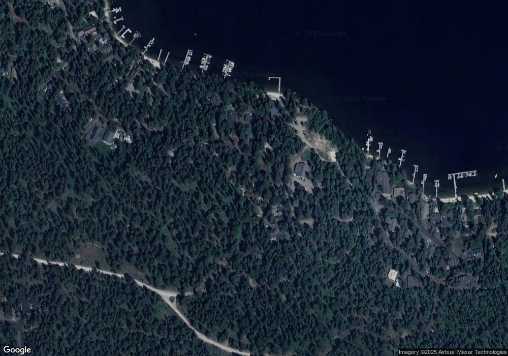
Map
Nearby Homes
- 2097 Water Lily Unit 2
- 959 Conifer Ln
- 1089 Graham Dr
- 1105 Graham Dr
- 1047 Kaitlyn Loop
- 1685 Ginney Way
- 1425 Dragonfly Loop
- TBD Dragonfly Loop
- TBD Dragonfly Loop Unit 72
- 1484 Dragonfly Loop
- 1400 & 1404 Mountain Meadow Dr
- 1400&04 Mountain Meadow Dr Unit 8 & 9
- 1250 Aspen Ridge Ln Unit 112
- 13915 Sky View Ct
- 13910 Sky View Ct Unit 8
- 13917 Sky View Ct
- 1702 Pine Cir
- 1702 Pine Cir Unit 15
- 320 Mountain Cove Ct
- 1210 Aspen Ridge Ln Unit 96
- 1080 Plymouth Rd
- 1074 Plymouth Rd
- 167 Plymouth Rd
- 1070 Plymouth Rd
- 1081 Plymouth Rd
- 1085 Plymouth Rd
- 1067 Plymouth
- 1066 Plymouth Rd
- 1073 Plymouth Rd
- 1087 Plymouth Rd
- 1069 Plymouth Rd
- 1062 Plymouth Rd
- 1089 Plymouth Rd
- 1060 Plymouth Rd
- 1075 Mayflower Ln
- 1058 Plymouth Rd
- 1087 Mayflower Ln
- 1087 Mayflower Ln Unit 5
- 1079 Mayflower Rd
- 1200 Shady Lane Loop