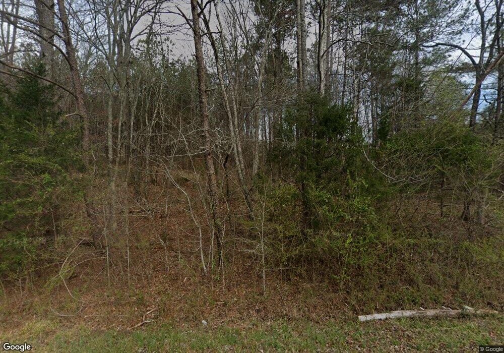
1076 Potash Rd Cedartown, GA 30125
Estimated Value: $270,000 - $393,000
3
Beds
2
Baths
2,094
Sq Ft
$161/Sq Ft
Est. Value
About This Home
This home is located at 1076 Potash Rd, Cedartown, GA 30125 and is currently estimated at $336,417, approximately $160 per square foot. 1076 Potash Rd is a home located in Polk County.
Ownership History
Date
Name
Owned For
Owner Type
Purchase Details
Closed on
Jan 13, 2012
Sold by
Borders Arthur Lewis
Bought by
Borders Leroy Horace
Current Estimated Value
Purchase Details
Closed on
Mar 24, 1998
Sold by
Rowland Bessie D
Bought by
Borders Lewis
Purchase Details
Closed on
Feb 18, 1997
Sold by
Hutchins Sam Aka Hutchings Sam
Bought by
Rowland Bessie D
Create a Home Valuation Report for This Property
The Home Valuation Report is an in-depth analysis detailing your home's value as well as a comparison with similar homes in the area
Home Values in the Area
Average Home Value in this Area
Purchase History
| Date | Buyer | Sale Price | Title Company |
|---|---|---|---|
| Borders Leroy Horace | -- | -- | |
| Borders Lewis | $500 | -- | |
| Rowland Bessie D | -- | -- |
Source: Public Records
Tax History Compared to Growth
Tax History
| Year | Tax Paid | Tax Assessment Tax Assessment Total Assessment is a certain percentage of the fair market value that is determined by local assessors to be the total taxable value of land and additions on the property. | Land | Improvement |
|---|---|---|---|---|
| 2024 | $2,801 | $134,001 | $10,374 | $123,627 |
| 2023 | $2,135 | $89,957 | $10,374 | $79,583 |
| 2022 | $1,791 | $75,473 | $6,916 | $68,557 |
| 2021 | $1,814 | $75,473 | $6,916 | $68,557 |
| 2020 | $1,818 | $75,473 | $6,916 | $68,557 |
| 2019 | $1,773 | $66,022 | $6,916 | $59,106 |
| 2018 | $1,776 | $64,438 | $6,916 | $57,522 |
Source: Public Records
Map
Nearby Homes
- 35 Harris Loop
- 1806 Piedmont Hwy
- 1810 Piedmont Hwy
- 0 Akes Station Rd Unit 25208781
- 0 Akes Station Rd Unit 25208783
- 0 Akes Station Rd Unit 25208784
- 0 Akes Station Rd Unit 25208785
- 0 Akes Station Rd Unit 25208782
- 00 Cornelius Rd
- 1849 Prior Station Rd Unit 77.57 ACRES
- 1849 Prior Station Rd
- 148 Persons Rd
- 966 Judkin Mill Rd
- 323 Mountain Home Rd
- 0 Mountain Home Rd Unit 1020-B 10351940
- 0 Mountain Home Rd Unit 1020-C 10351948
- 0 Mountain Home Rd Unit 1020-A 10351930
- 2776 Piedmont Hwy
- 0 Judkin Mill Rd Unit LotWP001 19369404
- 1789 Johnson Lake Rd
- 1060 Potash Rd
- 1126 Potash Rd
- 1101 Potash Rd
- 1202 Eunice Darden Dr
- 1030 Potash Rd
- 1222 Eunice Darden Dr
- 1016 Potash Rd
- 1242 Eunice Darden Dr
- 1185 Potash Rd
- 958 Potash Rd
- 1244 Eunice Darden Dr
- 938 Potash Rd
- 890 Potash Rd
- 888 Potash Rd
- 916 Potash Rd
- 1276 Eunice Darden Dr
- 1283 Eunice Darden Dr
- 876 Potash Rd
- 719 Branch Rd
- 111 Harris Loop
