10760 Jeff Hamilton Rd Mobile, AL 36695
Outer West Mobile NeighborhoodEstimated Value: $391,000 - $474,000
4
Beds
3
Baths
2,688
Sq Ft
$160/Sq Ft
Est. Value
About This Home
This home is located at 10760 Jeff Hamilton Rd, Mobile, AL 36695 and is currently estimated at $430,257, approximately $160 per square foot. 10760 Jeff Hamilton Rd is a home located in Mobile County with nearby schools including Hutchens Elementary School, Dawes Intermediate School, and Bernice J Causey Middle School.
Ownership History
Date
Name
Owned For
Owner Type
Purchase Details
Closed on
Oct 24, 2001
Sold by
Danner Earl Garin
Bought by
Chapman Mark A and Chapman Debra L
Current Estimated Value
Home Financials for this Owner
Home Financials are based on the most recent Mortgage that was taken out on this home.
Original Mortgage
$215,694
Interest Rate
6.85%
Purchase Details
Closed on
Dec 10, 1998
Sold by
Danner Joseph F
Bought by
Danner Joseph F
Purchase Details
Closed on
Oct 31, 1997
Sold by
Holman Allen E and Holman Tammy M
Bought by
Danner Joseph F
Create a Home Valuation Report for This Property
The Home Valuation Report is an in-depth analysis detailing your home's value as well as a comparison with similar homes in the area
Home Values in the Area
Average Home Value in this Area
Purchase History
| Date | Buyer | Sale Price | Title Company |
|---|---|---|---|
| Chapman Mark A | $230,000 | Surety Land Title Inc | |
| Danner Joseph F | -- | -- | |
| Danner Joseph F | -- | -- |
Source: Public Records
Mortgage History
| Date | Status | Borrower | Loan Amount |
|---|---|---|---|
| Previous Owner | Chapman Mark A | $215,694 |
Source: Public Records
Tax History Compared to Growth
Tax History
| Year | Tax Paid | Tax Assessment Tax Assessment Total Assessment is a certain percentage of the fair market value that is determined by local assessors to be the total taxable value of land and additions on the property. | Land | Improvement |
|---|---|---|---|---|
| 2024 | $1,517 | $34,470 | $9,610 | $24,860 |
| 2023 | $1,478 | $30,830 | $8,110 | $22,720 |
| 2022 | $1,278 | $31,380 | $8,110 | $23,270 |
| 2021 | $1,449 | $31,250 | $10,490 | $20,760 |
| 2020 | $1,474 | $31,770 | $10,490 | $21,280 |
| 2019 | $1,357 | $29,340 | $10,490 | $18,850 |
| 2018 | $1,380 | $29,840 | $0 | $0 |
| 2017 | $1,427 | $29,360 | $0 | $0 |
| 2016 | $1,369 | $29,600 | $0 | $0 |
| 2013 | $1,288 | $26,800 | $0 | $0 |
Source: Public Records
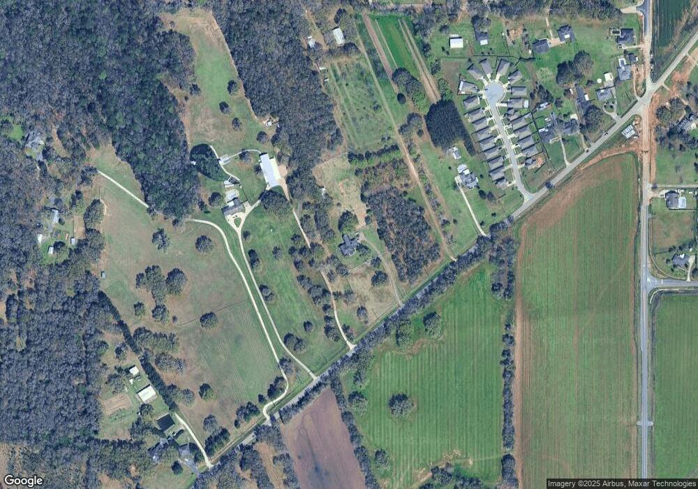
Map
Nearby Homes
- 0 Deer Crest Dr Unit 7552478
- 10351 Jeff Hamilton Rd
- 10482 Ellenton W
- 10506 Ellenton St W
- 10565 Lowell St W
- 10595 Lowell St W
- 10520 Lowell St W
- 10530 Lowell St W
- 10508 Lowell St W
- 10540 Lowell St W
- 10494 Ellenton St W
- 10562 Hopewell Loop
- 10542 Hopewell Loop
- 10530 Hopewell Loop
- 10552 Hopewell Loop
- 10478 Hopewell Loop
- The Denton Plan at Rossfield
- The Booth Plan at Rossfield
- The Cairn Plan at Rossfield
- The Lakeside Plan at Rossfield
- 10780 Jeff Hamilton Rd
- 10720 Jeff Hamilton Rd
- 3062 Notsram Ct
- 3056 Notsram Ct
- 3050 Notsram Ct
- 3044 Notsram Ct
- 3038 Notsram Ct
- 3032 Notsram Ct
- 3026 Notsram Ct
- 3020 Notsram Ct
- 8 Notsram Ct
- 12425 Jeff Hamilton Rd
- 2 Jeff Hamilton Rd
- 3014 Notsram Ct
- 3008 Notsram Ct
- 10750 Jeff Hamilton Rd Unit B
- 3067 Notsram Ct
- 3059 Notsram Ct
- 3051 Notsram Ct
- 3043 Notsram Ct