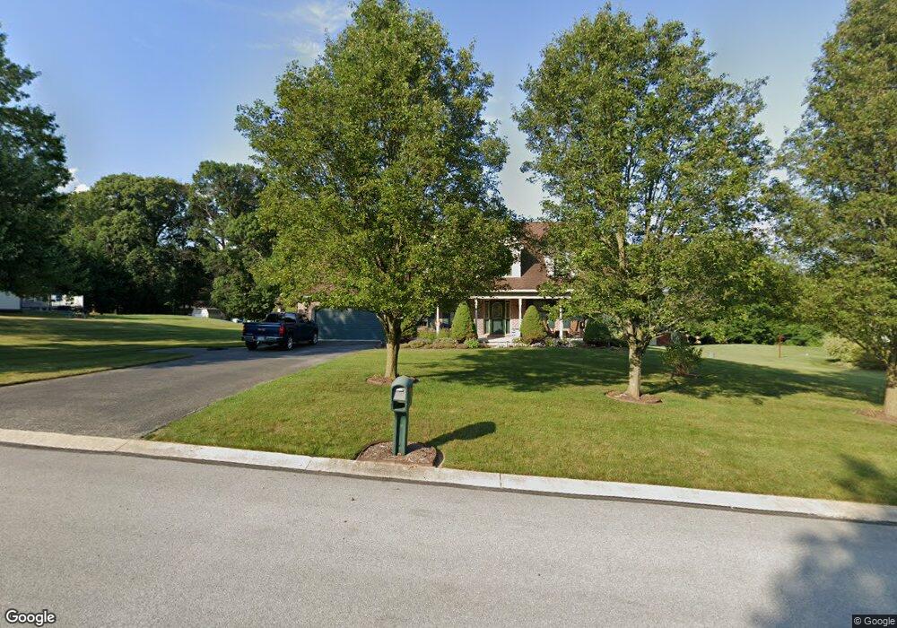
1077 Clinton Ct Spring Grove, PA 17362
Estimated Value: $382,000 - $419,000
3
Beds
3
Baths
2,326
Sq Ft
$173/Sq Ft
Est. Value
About This Home
This home is located at 1077 Clinton Ct, Spring Grove, PA 17362 and is currently estimated at $401,388, approximately $172 per square foot. 1077 Clinton Ct is a home located in York County with nearby schools including Spring Grove Area Middle School, Spring Grove Area High School, and Garbers Mennonite School.
Ownership History
Date
Name
Owned For
Owner Type
Purchase Details
Closed on
Aug 29, 1997
Bought by
Geppi Vincent A and Geppi Louise T
Current Estimated Value
Create a Home Valuation Report for This Property
The Home Valuation Report is an in-depth analysis detailing your home's value as well as a comparison with similar homes in the area
Home Values in the Area
Average Home Value in this Area
Purchase History
| Date | Buyer | Sale Price | Title Company |
|---|---|---|---|
| Geppi Vincent A | $31,000 | -- |
Source: Public Records
Tax History Compared to Growth
Tax History
| Year | Tax Paid | Tax Assessment Tax Assessment Total Assessment is a certain percentage of the fair market value that is determined by local assessors to be the total taxable value of land and additions on the property. | Land | Improvement |
|---|---|---|---|---|
| 2025 | $7,011 | $208,640 | $41,500 | $167,140 |
| 2024 | $6,936 | $208,640 | $41,500 | $167,140 |
| 2023 | $6,936 | $208,640 | $41,500 | $167,140 |
| 2022 | $6,936 | $208,640 | $41,500 | $167,140 |
| 2021 | $6,638 | $208,640 | $41,500 | $167,140 |
| 2020 | $6,638 | $208,640 | $41,500 | $167,140 |
| 2019 | $6,497 | $208,640 | $41,500 | $167,140 |
| 2018 | $6,411 | $208,640 | $41,500 | $167,140 |
| 2017 | $6,212 | $208,640 | $41,500 | $167,140 |
| 2016 | -- | $208,640 | $41,500 | $167,140 |
| 2015 | $4,265 | $208,640 | $41,500 | $167,140 |
| 2014 | $4,265 | $208,640 | $41,500 | $167,140 |
Source: Public Records
Map
Nearby Homes
- 1098 Porters Rd
- 1063 Porters Rd
- 1342 Marburg Rd
- 6170 York Rd
- 1350 Porters Rd
- 5931 York Rd
- 1315 Moulstown Rd N
- 5720 Colonial Valley Rd
- 1233 Glatco Lodge Rd
- 5497 Stambaugh Rd
- 1403 Krafts Mill Rd
- Lot# 3 Midhill Rd
- Lot # 2 Midhill Rd
- Lot # 1 Midhill Rd
- 0 Moulstown Rd N Unit PAYK2082362
- 5363 Waltersdorff Rd
- 7877 Gnatstown Rd
- 2116 Jefferson Rd
- 799 Laurel Woods Ln
- 6302 Liam Dr
- 1071 Clinton Ct
- 1083 Clinton Ct
- 1076 Clinton Ct
- 6305 Shutt Rd
- 1084 Clinton Ct
- 1070 Clinton Ct
- 1091 Clinton Ct
- 1072 Porters Rd
- 1090 Clinton Ct
- 6350 Shutt Rd
- 1099 Clinton Ct
- 1066 Porters Rd
- 1093 Porters Rd
- 6336 Straw Acres Rd
- 6332 Straw Acres Rd
- 1087 Porters Rd
- 6340 Straw Acres Rd
- 6328 Straw Acres Rd
- 1099 Porters Rd
- 1101 Porters Rd