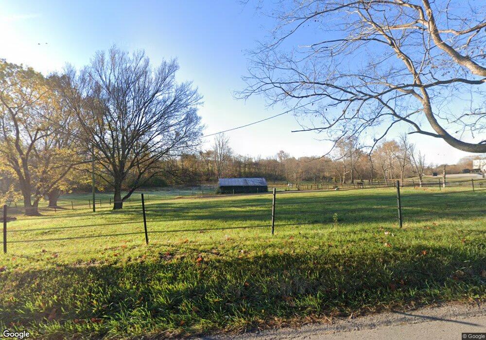
1077 Delaplain Rd Georgetown, KY 40324
Southeast Scott County NeighborhoodEstimated Value: $338,000 - $484,000
3
Beds
3
Baths
1,501
Sq Ft
$289/Sq Ft
Est. Value
About This Home
This home is located at 1077 Delaplain Rd, Georgetown, KY 40324 and is currently estimated at $433,299, approximately $288 per square foot. 1077 Delaplain Rd is a home located in Scott County with nearby schools including Creekside Elementary School, Eastern Elementary School, and Scott County Middle School.
Ownership History
Date
Name
Owned For
Owner Type
Purchase Details
Closed on
Aug 7, 2024
Sold by
Groff Richard
Bought by
Groff Betsy
Current Estimated Value
Purchase Details
Closed on
Sep 12, 2012
Sold by
Keeler Tracey and Caudill Clayton
Bought by
Groff Richard and Groff Betsy
Home Financials for this Owner
Home Financials are based on the most recent Mortgage that was taken out on this home.
Original Mortgage
$183,200
Interest Rate
3.68%
Mortgage Type
New Conventional
Purchase Details
Closed on
Jul 10, 2006
Sold by
Wells Michael
Bought by
Wells Tracey K
Create a Home Valuation Report for This Property
The Home Valuation Report is an in-depth analysis detailing your home's value as well as a comparison with similar homes in the area
Home Values in the Area
Average Home Value in this Area
Purchase History
| Date | Buyer | Sale Price | Title Company |
|---|---|---|---|
| Groff Betsy | -- | None Listed On Document | |
| Groff Richard | $229,000 | None Available | |
| Wells Tracey K | -- | Rels Title |
Source: Public Records
Mortgage History
| Date | Status | Borrower | Loan Amount |
|---|---|---|---|
| Previous Owner | Groff Richard | $183,200 |
Source: Public Records
Tax History Compared to Growth
Tax History
| Year | Tax Paid | Tax Assessment Tax Assessment Total Assessment is a certain percentage of the fair market value that is determined by local assessors to be the total taxable value of land and additions on the property. | Land | Improvement |
|---|---|---|---|---|
| 2024 | $2,549 | $283,400 | $0 | $0 |
| 2023 | $2,473 | $272,800 | $75,000 | $197,800 |
| 2022 | $2,367 | $272,800 | $75,000 | $197,800 |
| 2021 | $2,192 | $249,900 | $60,000 | $189,900 |
| 2020 | $2,109 | $245,500 | $60,000 | $185,500 |
| 2019 | $2,108 | $241,500 | $0 | $0 |
| 2018 | $2,096 | $241,500 | $0 | $0 |
| 2017 | $2,094 | $240,150 | $0 | $0 |
| 2016 | $1,971 | $244,805 | $0 | $0 |
| 2015 | $1,909 | $238,600 | $0 | $0 |
| 2014 | $1,750 | $229,000 | $0 | $0 |
| 2011 | $1,123 | $154,468 | $0 | $0 |
Source: Public Records
Map
Nearby Homes
- 141 Nuthatch Trail
- 139 Nuthatch Trail
- 155 Blackberry Ln
- 173 Blackberry Ln
- 163 Blackberry Ln
- 161 Blackberry Ln
- 154 Blackberry Ln
- 165 Blackberry Ln
- 167 Blackberry Ln
- 157 Blackberry Ln
- 110 Flamingo Cir
- 105 Ibis Cir
- Martha Plan at Barkley Meadows
- Elizabeth Plan at Barkley Meadows
- Barbara Plan at Barkley Meadows
- Eleanor Plan at Barkley Meadows
- Nancy Plan at Barkley Meadows
- Grace Plan at Barkley Meadows
- Abigail Plan at Barkley Meadows
- Lucy Plan at Barkley Meadows
- 1090 Delaplain Rd
- 1105 Delaplain Rd
- 1121 Delaplain Rd
- 112 Barkley Ln
- 106 Barkley Ln
- 1136 Delaplain Rd
- 1 Endeavor Dr
- 160 Anderson Rd
- 1018 Anderson Rd
- 1019 Anderson Rd
- 1 Anderson Rd
- 2 Anderson Rd
- 3 Anderson Rd
- 0 Anderson Rd
- 104 Cannon Way
- 105 Cannon Way
- 105 Cannon Way Unit 5
- 106 Farmview Way
- 106 Farmview Way Unit 13
- 102 Cannon Way