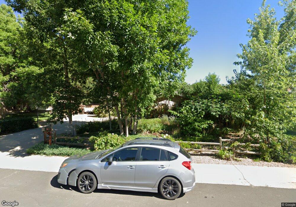
1077 E 17th Ave Broomfield, CO 80020
Northmoor Estates NeighborhoodEstimated Value: $613,455 - $700,000
4
Beds
3
Baths
2,458
Sq Ft
$263/Sq Ft
Est. Value
About This Home
This home is located at 1077 E 17th Ave, Broomfield, CO 80020 and is currently estimated at $647,114, approximately $263 per square foot. 1077 E 17th Ave is a home located in Broomfield County with nearby schools including Aspen Creek K-8 School, Birch Elementary School, and Broomfield High School.
Ownership History
Date
Name
Owned For
Owner Type
Purchase Details
Closed on
May 31, 2002
Sold by
Fortino Michael J
Bought by
Swanwick Kenneth T and Swanwick Pamela J
Current Estimated Value
Home Financials for this Owner
Home Financials are based on the most recent Mortgage that was taken out on this home.
Original Mortgage
$222,000
Outstanding Balance
$93,601
Interest Rate
6.77%
Estimated Equity
$553,513
Purchase Details
Closed on
Aug 28, 1992
Purchase Details
Closed on
Nov 21, 1984
Purchase Details
Closed on
May 10, 1978
Purchase Details
Closed on
Feb 15, 1978
Create a Home Valuation Report for This Property
The Home Valuation Report is an in-depth analysis detailing your home's value as well as a comparison with similar homes in the area
Home Values in the Area
Average Home Value in this Area
Purchase History
| Date | Buyer | Sale Price | Title Company |
|---|---|---|---|
| Swanwick Kenneth T | $277,500 | Title America | |
| -- | $138,000 | -- | |
| -- | $114,500 | -- | |
| -- | $60,700 | -- | |
| -- | $10,000 | -- |
Source: Public Records
Mortgage History
| Date | Status | Borrower | Loan Amount |
|---|---|---|---|
| Open | Swanwick Kenneth T | $222,000 |
Source: Public Records
Tax History
| Year | Tax Paid | Tax Assessment Tax Assessment Total Assessment is a certain percentage of the fair market value that is determined by local assessors to be the total taxable value of land and additions on the property. | Land | Improvement |
|---|---|---|---|---|
| 2025 | $3,574 | $41,690 | $10,720 | $30,970 |
| 2024 | $3,574 | $38,140 | $9,780 | $28,360 |
| 2023 | $3,567 | $43,380 | $11,120 | $32,260 |
| 2022 | $3,000 | $31,030 | $7,820 | $23,210 |
| 2021 | $2,984 | $31,920 | $8,040 | $23,880 |
| 2020 | $2,748 | $29,210 | $7,510 | $21,700 |
| 2019 | $2,743 | $29,420 | $7,560 | $21,860 |
| 2018 | $2,468 | $26,150 | $5,760 | $20,390 |
| 2017 | $2,431 | $28,910 | $6,370 | $22,540 |
| 2016 | $2,276 | $24,140 | $5,450 | $18,690 |
| 2015 | $2,198 | $20,970 | $5,450 | $15,520 |
| 2014 | $1,952 | $20,970 | $5,450 | $15,520 |
Source: Public Records
Map
Nearby Homes
- 1705 Dover St
- 583 Redstone Dr
- 370 Golden Eagle Dr
- 13864 Quail Ridge Dr
- 5313 Heather Ct
- 13924 Quail Ridge Dr
- 133 Fairplay Ave
- 114 E 14th Ct
- 37 E 14th Place
- 477 Rifle Way
- 13848 Teal Creek Dr
- 13 Curtis Ct
- 13961 Brookside Ct
- 13971 Telluride Dr
- 13495 Wild Basin Way
- 49 Curtis Ct
- 1030 Cedar St
- 53 Douglas Dr S
- 1747 Whistlepig Ln
- 14115 Blue Stem St
- 1067 E 17th Ave
- 1795 Birch St
- 1755 Birch St
- 1057 E 17th Ave
- 1855 Birch St
- 1056 E 19th Ave
- 1036 E 19th Ave
- 1895 Birch St
- 1074 E 17th Ave
- 1064 E 17th Ave
- 1037 E 17th Ave
- 1026 E 19th Ave
- 1078 E 17th Ave
- 1058 E 17th Ave
- 1084 E 17th Ave
- 1790 Birch St
- 1800 Birch St
- 1054 E 17th Ave
- 1750 Birch St
- 1850 Birch St
Your Personal Tour Guide
Ask me questions while you tour the home.