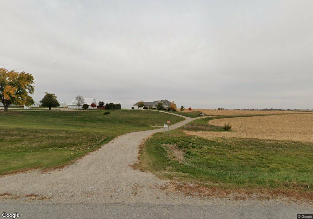
1077 Highway 6 Malcom, IA 50157
Estimated Value: $347,000 - $1,007,195
5
Beds
4
Baths
2,734
Sq Ft
$248/Sq Ft
Est. Value
About This Home
This home is located at 1077 Highway 6, Malcom, IA 50157 and is currently estimated at $677,098, approximately $247 per square foot. 1077 Highway 6 is a home located in Poweshiek County with nearby schools including Grinnell Community Senior High School.
Create a Home Valuation Report for This Property
The Home Valuation Report is an in-depth analysis detailing your home's value as well as a comparison with similar homes in the area
Tax History
| Year | Tax Paid | Tax Assessment Tax Assessment Total Assessment is a certain percentage of the fair market value that is determined by local assessors to be the total taxable value of land and additions on the property. | Land | Improvement |
|---|---|---|---|---|
| 2025 | $9,120 | $1,025,420 | $89,580 | $935,840 |
| 2024 | $9,226 | $760,330 | $70,370 | $689,960 |
| 2023 | $9,172 | $760,330 | $70,370 | $689,960 |
| 2022 | $9,096 | $644,030 | $60,940 | $583,090 |
| 2021 | $9,096 | $615,250 | $60,940 | $554,310 |
| 2020 | $8,622 | $592,150 | $58,520 | $533,630 |
| 2019 | $7,472 | $592,150 | $58,520 | $533,630 |
| 2018 | $7,348 | $558,240 | $83,880 | $474,360 |
| 2017 | $7,756 | $558,240 | $83,880 | $474,360 |
| 2016 | $7,784 | $592,420 | $96,670 | $495,750 |
| 2015 | $7,784 | $592,420 | $96,670 | $495,750 |
| 2014 | $8,058 | $623,620 | $96,140 | $527,480 |
Source: Public Records
Map
Nearby Homes
- 303 Clay St
- 528 W Pershing Dr
- 515 W Des Moines St
- 4182 160th St
- 505 W Pershing Dr
- 420 390th Ave
- 404 W Des Moines St
- 2021 Jewel Dr
- 2002 Spaulding Dr
- 1928 Jewel Dr
- 1952 Spaulding Ln
- 215 Brady St
- 1848 9th Ave
- 1425 Penrose St
- 611 Broadway St
- 508 Williams St
- 505 E Des Moines St
- 1421 Hobart St
- 1532 Davis Ave
- 1519 Davis Ave
Your Personal Tour Guide
Ask me questions while you tour the home.