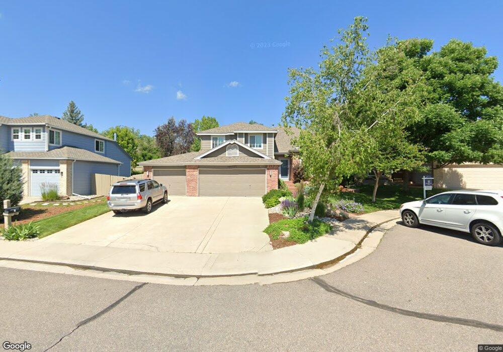
1077 Rand Way Superior, CO 80027
Estimated Value: $874,038 - $1,050,000
3
Beds
4
Baths
2,164
Sq Ft
$450/Sq Ft
Est. Value
About This Home
This home is located at 1077 Rand Way, Superior, CO 80027 and is currently estimated at $973,010, approximately $449 per square foot. 1077 Rand Way is a home located in Boulder County with nearby schools including Eldorado K-8 School, Superior Elementary School, and Monarch High School.
Ownership History
Date
Name
Owned For
Owner Type
Purchase Details
Closed on
Feb 7, 1997
Sold by
Mitchell Thomas G and Mitchell Lori L
Bought by
Kacynski Paul E
Current Estimated Value
Home Financials for this Owner
Home Financials are based on the most recent Mortgage that was taken out on this home.
Original Mortgage
$100,000
Interest Rate
7.64%
Purchase Details
Closed on
May 5, 1993
Bought by
Kacynski Paul E and Kacynski Cynthia
Purchase Details
Closed on
Mar 24, 1992
Bought by
Kacynski Paul E and Kacynski Cynthia
Create a Home Valuation Report for This Property
The Home Valuation Report is an in-depth analysis detailing your home's value as well as a comparison with similar homes in the area
Home Values in the Area
Average Home Value in this Area
Purchase History
| Date | Buyer | Sale Price | Title Company |
|---|---|---|---|
| Kacynski Paul E | $243,000 | -- | |
| Kacynski Paul E | $194,200 | -- | |
| Kacynski Paul E | -- | -- |
Source: Public Records
Mortgage History
| Date | Status | Borrower | Loan Amount |
|---|---|---|---|
| Closed | Kacynski Paul E | $100,000 |
Source: Public Records
Tax History Compared to Growth
Tax History
| Year | Tax Paid | Tax Assessment Tax Assessment Total Assessment is a certain percentage of the fair market value that is determined by local assessors to be the total taxable value of land and additions on the property. | Land | Improvement |
|---|---|---|---|---|
| 2025 | $5,922 | $57,432 | $24,719 | $32,713 |
| 2024 | $5,922 | $57,432 | $24,719 | $32,713 |
| 2023 | $5,841 | $57,151 | $21,815 | $39,021 |
| 2022 | $4,632 | $44,278 | $17,368 | $26,910 |
| 2021 | $4,894 | $48,463 | $19,012 | $29,451 |
| 2020 | $4,645 | $44,208 | $19,448 | $24,760 |
| 2019 | $4,580 | $44,208 | $19,448 | $24,760 |
| 2018 | $4,200 | $40,154 | $13,464 | $26,690 |
| 2017 | $4,293 | $44,393 | $14,885 | $29,508 |
| 2016 | $4,239 | $38,304 | $13,930 | $24,374 |
| 2015 | $4,028 | $33,185 | $13,293 | $19,892 |
| 2014 | $3,523 | $33,185 | $13,293 | $19,892 |
Source: Public Records
Map
Nearby Homes
- 1825 Keota Ln
- 1899 Breen Ln
- 1820 Vernon Ln
- 888 Northern Way
- 2204 Lasalle St
- 1009 Monarch Way
- 2112 Grayden Ct
- 1637 Reliance Cir
- 1812 Eldorado Dr
- 882 Eldorado Dr
- 1540 Masters Ct
- 977 Eldorado Dr
- 520 Campo Way
- 1842 Reliance Cir
- 1122 Eldorado Dr
- 1302 Eldorado Dr
- 2225 Clayton Cir
- 1220 S Boyero Ct
- 1340 Stoneham St
- 1485 Stoneham St