1077 Williamsburg Ct Williamston, MI 48895
Estimated Value: $431,688 - $490,000
4
Beds
3
Baths
2,229
Sq Ft
$207/Sq Ft
Est. Value
About This Home
This home is located at 1077 Williamsburg Ct, Williamston, MI 48895 and is currently estimated at $460,672, approximately $206 per square foot. 1077 Williamsburg Ct is a home located in Ingham County with nearby schools including Williamston Discovery Elementary School, Williamston Explorer Elementary School, and Williamston Middle School.
Ownership History
Date
Name
Owned For
Owner Type
Purchase Details
Closed on
Nov 26, 2002
Sold by
Smith Price Partnership Llc
Bought by
Degarmo Robert and Degarmo Stacey
Current Estimated Value
Home Financials for this Owner
Home Financials are based on the most recent Mortgage that was taken out on this home.
Original Mortgage
$300,700
Outstanding Balance
$115,259
Interest Rate
4.75%
Estimated Equity
$345,413
Create a Home Valuation Report for This Property
The Home Valuation Report is an in-depth analysis detailing your home's value as well as a comparison with similar homes in the area
Home Values in the Area
Average Home Value in this Area
Purchase History
| Date | Buyer | Sale Price | Title Company |
|---|---|---|---|
| Degarmo Robert | $62,000 | Metropolitan Title Okemos |
Source: Public Records
Mortgage History
| Date | Status | Borrower | Loan Amount |
|---|---|---|---|
| Open | Degarmo Robert | $300,700 |
Source: Public Records
Tax History Compared to Growth
Tax History
| Year | Tax Paid | Tax Assessment Tax Assessment Total Assessment is a certain percentage of the fair market value that is determined by local assessors to be the total taxable value of land and additions on the property. | Land | Improvement |
|---|---|---|---|---|
| 2025 | $7,294 | $222,800 | $52,500 | $170,300 |
| 2024 | $6,820 | $196,400 | $44,800 | $151,600 |
| 2023 | $6,820 | $180,300 | $39,200 | $141,100 |
| 2022 | $6,511 | $167,500 | $44,100 | $123,400 |
| 2021 | $6,400 | $154,500 | $22,600 | $131,900 |
| 2020 | $6,140 | $144,800 | $22,600 | $122,200 |
| 2019 | $5,910 | $134,700 | $18,800 | $115,900 |
| 2018 | $5,804 | $126,300 | $18,800 | $107,500 |
| 2017 | $5,584 | $127,800 | $17,500 | $110,300 |
| 2016 | -- | $121,200 | $16,200 | $105,000 |
| 2015 | -- | $112,500 | $24,432 | $88,068 |
| 2014 | -- | $98,100 | $30,070 | $68,030 |
Source: Public Records
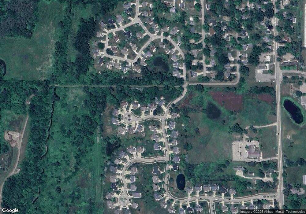
Map
Nearby Homes
- 1106 Cobblestone Ct
- 131 W South St
- 402 Crossman St
- 875 W Grand River Ave Unit 29
- 875 W Grand River Ave Unit 35
- 540 W Grand River Ave
- 0 Linn Rd Unit 291462
- 1544 Nottingham Forest Trail #63
- 1532 Lytell Johne's Path #77
- 926 W Grand River Ave
- 1108 W Maide Marian's Ct
- 1112 W Maide Marian's Ct
- 529 High St
- 1802 Harvey Dr
- 1521 Nottingham Forest Trail Unit 50
- 1546 Nottingham Forest Trail #62 Trail
- 1542 Nottingham Forest Trail #64
- 133 E Riverside St
- 1530 Lytell Johne's Path #78
- 111 Block St
- 1073 Foxborough Dr
- 1081 Williamsburg Ct
- 1085 Williamsburg Ct
- 1065 Foxborough Dr
- 1074 Foxborough Dr
- 1089 Williamsburg Ct
- 1078 Williamsburg Ct
- 1070 Foxborough Dr
- 854 Blacksth
- 854 Blacksmith Trail Unit 1
- 1061 Foxborough Dr
- 1082 Williamsburg Ct
- 1093 Williamsburg Ct
- 1066 Foxborough Dr
- 1082 Foxborough Dr
- 1090 Williamsburg Ct
- 323 Split Rail Ridge Unit 9
- 848 Blacksmith Trail Unit 2
- 1086 Williamsburg Ct
- 329 Split Rail Ridge Unit 10