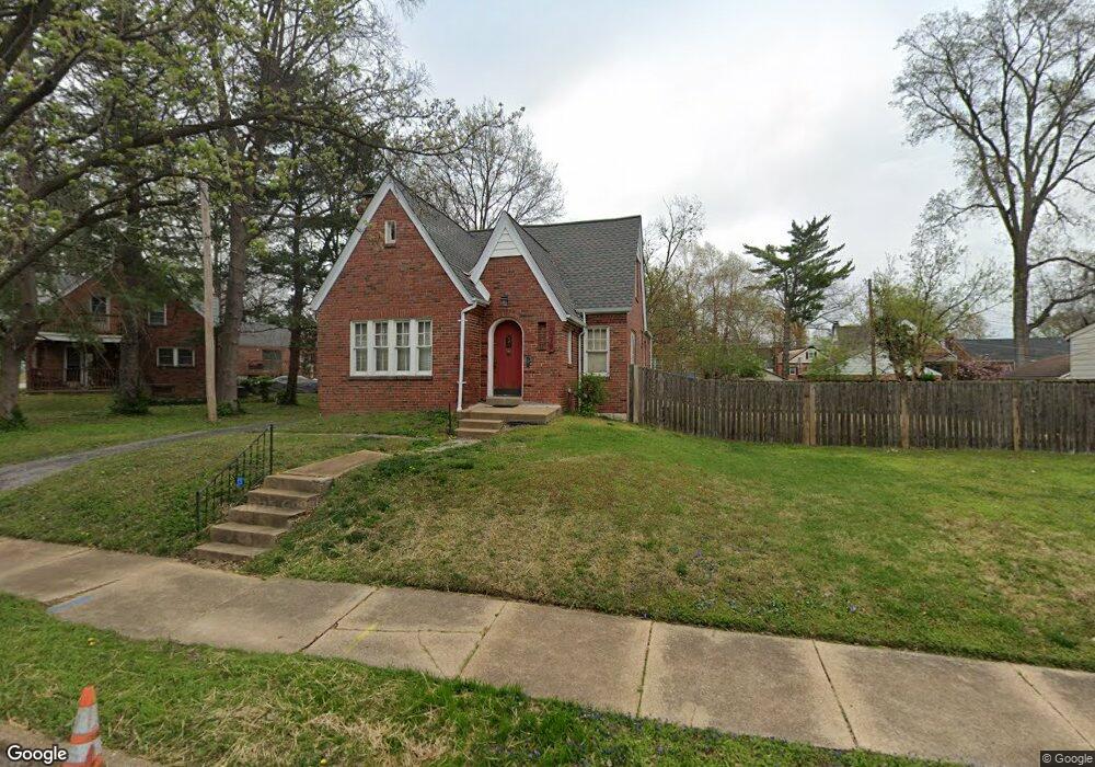
1078 Colby Ave Saint Louis, MO 63130
Estimated Value: $207,000 - $225,000
4
Beds
1
Bath
1,587
Sq Ft
$137/Sq Ft
Est. Value
About This Home
This home is located at 1078 Colby Ave, Saint Louis, MO 63130 and is currently estimated at $217,437, approximately $137 per square foot. 1078 Colby Ave is a home located in St. Louis County with nearby schools including Pershing Elementary School, Brittany Woods Middle School, and University City High School.
Ownership History
Date
Name
Owned For
Owner Type
Purchase Details
Closed on
Jun 13, 2023
Sold by
Hill Thomas
Bought by
Bullock Marjorie and Young Ellen
Current Estimated Value
Purchase Details
Closed on
Aug 28, 2020
Sold by
Young Ellen
Bought by
Bullock Marjorie
Purchase Details
Closed on
Aug 11, 2020
Sold by
Keel Angela
Bought by
Bullock Marjorie
Create a Home Valuation Report for This Property
The Home Valuation Report is an in-depth analysis detailing your home's value as well as a comparison with similar homes in the area
Home Values in the Area
Average Home Value in this Area
Purchase History
| Date | Buyer | Sale Price | Title Company |
|---|---|---|---|
| Bullock Marjorie | -- | None Listed On Document | |
| Bullock Marjorie | -- | None Listed On Document | |
| Bullock Marjorie | -- | None Listed On Document | |
| Bullock Marjorie | -- | None Listed On Document | |
| Bullock Marjorie | -- | None Listed On Document |
Source: Public Records
Tax History Compared to Growth
Tax History
| Year | Tax Paid | Tax Assessment Tax Assessment Total Assessment is a certain percentage of the fair market value that is determined by local assessors to be the total taxable value of land and additions on the property. | Land | Improvement |
|---|---|---|---|---|
| 2025 | $2,372 | $33,570 | $6,610 | $26,960 |
| 2024 | $2,372 | $32,970 | $11,040 | $21,930 |
| 2023 | $2,370 | $32,970 | $11,040 | $21,930 |
| 2022 | $2,166 | $28,030 | $5,570 | $22,460 |
| 2021 | $2,144 | $28,030 | $5,570 | $22,460 |
| 2020 | $1,868 | $23,710 | $6,060 | $17,650 |
| 2019 | $1,850 | $23,710 | $6,060 | $17,650 |
| 2018 | $1,714 | $20,270 | $5,300 | $14,970 |
| 2017 | $1,718 | $20,270 | $5,300 | $14,970 |
| 2016 | $1,643 | $18,540 | $3,780 | $14,760 |
| 2015 | $1,650 | $18,540 | $3,780 | $14,760 |
| 2014 | $1,478 | $16,260 | $4,940 | $11,320 |
Source: Public Records
Map
Nearby Homes
- 1085 Pennsylvania Ave
- 6835 Etzel Ave
- 1105 Pennsylvania Ave
- 6922 Plymouth Ave
- 6817 Crest Ave
- 6954 Plymouth Ave
- 6934 Julian Ave
- 7039 Plymouth Ave
- 7055 Plymouth Ave
- 7012 Melrose Ave
- 6731 Crest Ave
- 6721 Chamberlain Ave
- 6736 Julian Ave
- 6821 Raymond Ave
- 7048 Raymond Ave
- 7111 Dartmouth Ave
- 6759 Raymond Ave
- 6736 Vernon Ave
- 6757 Raymond Ave
- 6883 Dartmouth Ave
- 1070 Colby Ave
- 1086 Colby Ave
- 1066 Colby Ave
- 1075 Purcell Ave
- 1071 Purcell Ave
- 1079 Purcell Ave
- 1085 Purcell Ave
- 1062 Colby Ave
- 1091 Purcell Ave
- 1067 Purcell Ave
- 1071 Colby Ave
- 1075 Colby Ave
- 1069 Colby Ave
- 1065 Colby Ave
- 1063 Purcell Ave
- 1077 Colby Ave
- 1059 Colby Ave
- 1085 Colby Ave
- 1081 Colby Ave
- 1089 Colby Ave