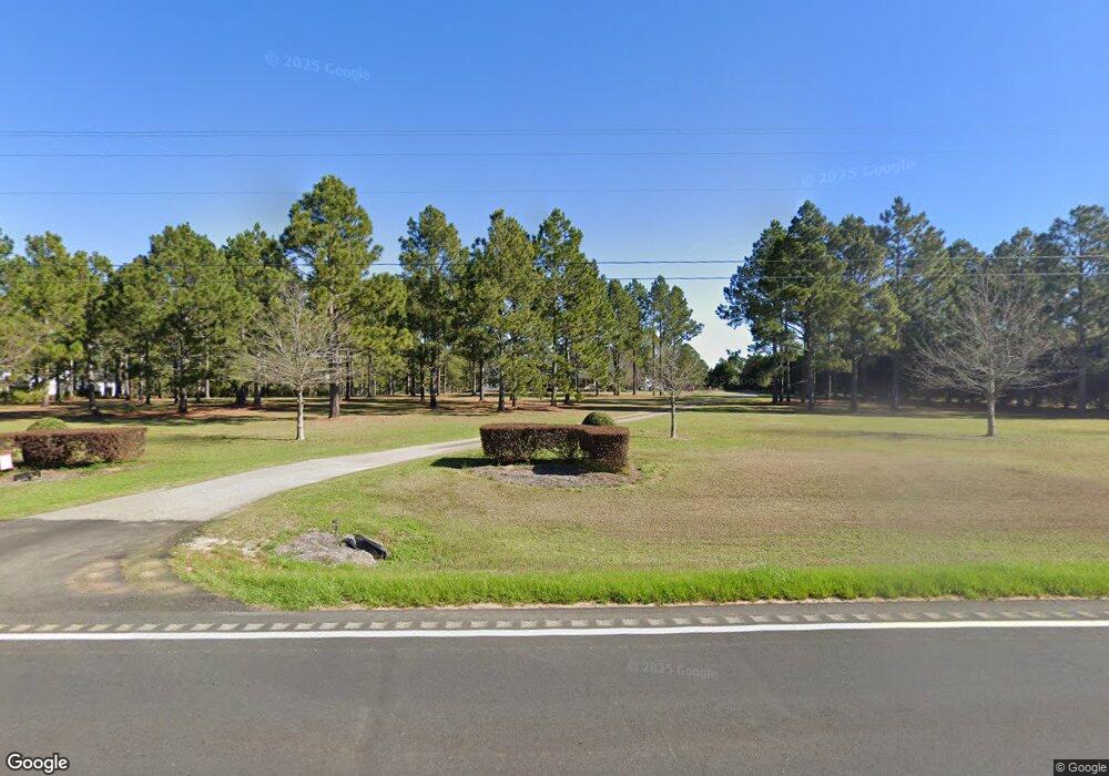
1078 Ga Highway 32 W Leesburg, GA 31763
Estimated Value: $359,000 - $1,134,000
3
Beds
3
Baths
2,441
Sq Ft
$265/Sq Ft
Est. Value
About This Home
This home is located at 1078 Ga Highway 32 W, Leesburg, GA 31763 and is currently estimated at $647,586, approximately $265 per square foot. 1078 Ga Highway 32 W is a home located in Lee County with nearby schools including Lee County Primary School, Lee County Elementary School, and Lee County Middle School - West Campus.
Ownership History
Date
Name
Owned For
Owner Type
Purchase Details
Closed on
Apr 19, 2006
Sold by
Burdette Tammy
Bought by
Hoover Norman
Current Estimated Value
Home Financials for this Owner
Home Financials are based on the most recent Mortgage that was taken out on this home.
Original Mortgage
$266,000
Outstanding Balance
$152,154
Interest Rate
6.28%
Mortgage Type
New Conventional
Estimated Equity
$495,432
Purchase Details
Closed on
Dec 1, 2000
Sold by
Brittany Plantation
Bought by
Burdette Ricky A
Create a Home Valuation Report for This Property
The Home Valuation Report is an in-depth analysis detailing your home's value as well as a comparison with similar homes in the area
Home Values in the Area
Average Home Value in this Area
Purchase History
| Date | Buyer | Sale Price | Title Company |
|---|---|---|---|
| Hoover Norman | $32,000 | -- | |
| Hoover Norman | $280,000 | -- | |
| Burdette Ricky A | $39,400 | -- |
Source: Public Records
Mortgage History
| Date | Status | Borrower | Loan Amount |
|---|---|---|---|
| Open | Hoover Norman | $266,000 | |
| Closed | Hoover Norman | $4,000 |
Source: Public Records
Tax History Compared to Growth
Tax History
| Year | Tax Paid | Tax Assessment Tax Assessment Total Assessment is a certain percentage of the fair market value that is determined by local assessors to be the total taxable value of land and additions on the property. | Land | Improvement |
|---|---|---|---|---|
| 2024 | $6,332 | $211,580 | $87,640 | $123,940 |
| 2023 | $5,907 | $211,580 | $87,640 | $123,940 |
| 2022 | $5,907 | $211,580 | $87,640 | $123,940 |
| 2021 | $3,648 | $129,236 | $27,520 | $101,716 |
| 2020 | $4,639 | $140,148 | $32,120 | $108,028 |
| 2019 | $4,722 | $140,148 | $32,120 | $108,028 |
| 2018 | $4,723 | $140,148 | $32,120 | $108,028 |
| 2017 | $3,711 | $116,268 | $32,120 | $84,148 |
| 2016 | $3,711 | $116,268 | $32,120 | $84,148 |
| 2015 | $3,731 | $116,268 | $32,120 | $84,148 |
| 2014 | $3,745 | $116,268 | $32,120 | $84,148 |
| 2013 | -- | $116,268 | $32,120 | $84,148 |
Source: Public Records
Map
Nearby Homes
- 107 Stornoway Dr
- 116 Montrose Dr
- 115 Montrose Dr
- 103 Stornoway Dr
- 155 Balmoral Dr
- 152 Brittany Lakes Dr
- 280 Palmyra Rd
- 154 Canvasback Dr
- 114 Hollis Bridge Ct
- 106 Canvasback Dr
- 156 Old Canoy Ln
- lot 36 Deer Run Ln
- 141 Partridge Cir
- 245 Partridge Cir
- 139 Partridge Cir
- lt 132 Partridge Cir
- 241 Partridge Cir
- 159 Quail Valley Dr
- 130 Quail Chase Dr
- 103 Pointer Dr
- 1062 Ga Highway 32 W
- 1094 Ga Highway 32 W
- 1050 Ga Highway 32 W
- 1112 Ga Highway 32 W
- 115 Plantation Dr
- 127 Plantation Dr
- 137 Plantation Dr
- 149 Plantation Dr
- 1156 Ga Highway 32 W
- 161 Plantation Dr
- 130 Plantation Dr
- 114 Plantation Dr
- 100 Plantation Dr
- 142 Plantation Dr
- 1138 Ga Highway 32 W
- 154 Plantation Dr
- 177 Plantation Dr
- 166 Plantation Dr
- 1002 Ga Highway 32 W
- 117 Seahoy Dr
