1078 High Point Rd Bowdon, GA 30108
Estimated Value: $360,000 - $516,000
3
Beds
2
Baths
1,726
Sq Ft
$246/Sq Ft
Est. Value
About This Home
This home is located at 1078 High Point Rd, Bowdon, GA 30108 and is currently estimated at $425,433, approximately $246 per square foot. 1078 High Point Rd is a home located in Carroll County with nearby schools including Bowdon Elementary School, Bowdon Middle School, and Bowdon High School.
Ownership History
Date
Name
Owned For
Owner Type
Purchase Details
Closed on
Dec 27, 2011
Bought by
Brock Timothy
Current Estimated Value
Purchase Details
Closed on
Oct 4, 2011
Purchase Details
Closed on
Mar 8, 1996
Sold by
Johnston Jerry
Bought by
Cummings Richard A
Purchase Details
Closed on
May 25, 1993
Bought by
Johnson
Purchase Details
Closed on
Dec 25, 1982
Sold by
Johnson
Bought by
Robinson
Create a Home Valuation Report for This Property
The Home Valuation Report is an in-depth analysis detailing your home's value as well as a comparison with similar homes in the area
Home Values in the Area
Average Home Value in this Area
Purchase History
| Date | Buyer | Sale Price | Title Company |
|---|---|---|---|
| Brock Timothy | $11,000 | -- | |
| -- | -- | -- | |
| -- | $166,385 | -- | |
| Cummings Richard A | $110,000 | -- | |
| Johnson | -- | -- | |
| Robinson | -- | -- |
Source: Public Records
Tax History
| Year | Tax Paid | Tax Assessment Tax Assessment Total Assessment is a certain percentage of the fair market value that is determined by local assessors to be the total taxable value of land and additions on the property. | Land | Improvement |
|---|---|---|---|---|
| 2025 | $1,646 | $144,210 | $59,414 | $84,796 |
| 2024 | $1,656 | $144,210 | $59,414 | $84,796 |
| 2023 | $1,656 | $117,220 | $39,492 | $77,728 |
| 2022 | $1,884 | $88,757 | $26,328 | $62,429 |
| 2021 | $1,687 | $75,332 | $21,062 | $54,270 |
| 2020 | $1,538 | $66,953 | $19,147 | $47,806 |
| 2019 | $1,489 | $63,579 | $19,147 | $44,432 |
| 2018 | $1,429 | $59,166 | $19,147 | $40,019 |
| 2017 | $1,434 | $59,166 | $19,147 | $40,019 |
| 2016 | $1,223 | $60,762 | $19,147 | $41,615 |
| 2015 | $1,311 | $46,890 | $17,776 | $29,114 |
| 2014 | $1,317 | $46,890 | $17,776 | $29,114 |
Source: Public Records
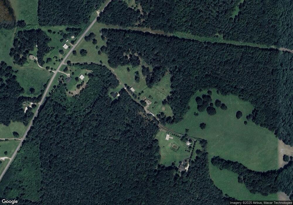
Map
Nearby Homes
- 1509 High Point Rd
- 1121 Kansas-Jake Rd
- 339 Cavender Ln
- 369 Cavender Ln
- 2908 N Highway 100
- 0 N Highway 100 Unit TRACT 2 10571032
- 0 N Highway 100 Unit TRACT 3 10571036
- 0 N Highway 100 Unit TRACT 4 10571038
- 0 Kansas Jake Rd Unit 26132658
- 0 Kansas Jake Rd Unit 10676294
- 0 Kansas Jake Rd Unit 10686699
- 0 Kansas Jake Rd Unit 26114165
- 0 Kansas Jake Rd Unit 26114173
- 0 Kansas Jake Rd Unit 26114180
- 0 Turkey Ct Unit LOT 42 & 46
- 967 Old Highway 100
- 695 Frost Rd
- 211 Kelly Creek Rd
- 786 Moon Rd
- 80 Beaver Run Rd
- 1098 High Point Rd
- 1100 High Point Rd
- 1063 High Point Rd
- 0 High Point Rd Unit 9064392
- 1095 High Point Rd
- 941 High Point Rd
- 941 High Point Rd
- 1013 High Point Rd
- 1249 High Point Rd
- 655 Robinson Rd
- 746 Robinson Rd
- 1173 High Point Rd
- 815 Robinson Rd
- 855 High Point Rd
- 683 Robinson Rd
- 832 High Point Rd
- 1400 High Point Rd
- 954 Robinson Rd
- 471 Robinson Rd
- 774 High Point Rd
Your Personal Tour Guide
Ask me questions while you tour the home.