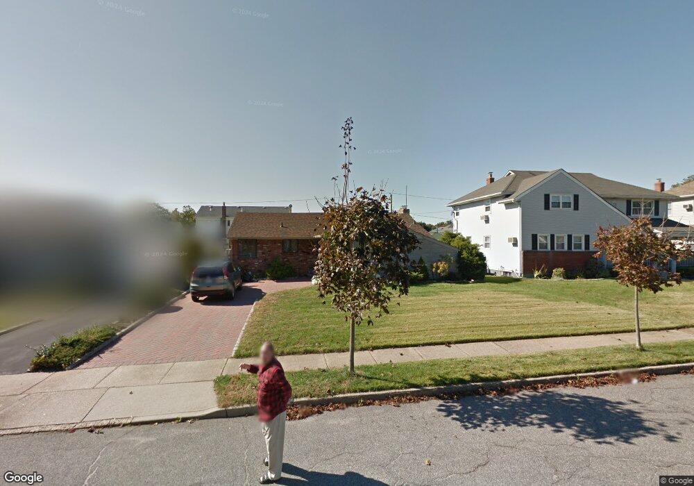
1078 Mclean Ave Wantagh, NY 11793
Estimated Value: $805,691 - $842,000
Studio
2
Baths
1,996
Sq Ft
$413/Sq Ft
Est. Value
About This Home
This home is located at 1078 Mclean Ave, Wantagh, NY 11793 and is currently estimated at $823,846, approximately $412 per square foot. 1078 Mclean Ave is a home located in Nassau County with nearby schools including Lee Road Elementary School, Jonas E. Salk Middle School, and Gen. Douglas MacArthur Senior High School.
Ownership History
Date
Name
Owned For
Owner Type
Purchase Details
Closed on
Sep 17, 2009
Sold by
Tully Christian E and Kerve Jeanette M
Bought by
Walsh Rocco and Walsh Jennifer
Current Estimated Value
Home Financials for this Owner
Home Financials are based on the most recent Mortgage that was taken out on this home.
Original Mortgage
$364,000
Outstanding Balance
$233,307
Interest Rate
5.12%
Mortgage Type
Purchase Money Mortgage
Estimated Equity
$590,539
Purchase Details
Closed on
Nov 29, 2001
Sold by
Giglio Ralph R and Giglio Christine
Bought by
Tully Christian E
Create a Home Valuation Report for This Property
The Home Valuation Report is an in-depth analysis detailing your home's value as well as a comparison with similar homes in the area
Home Values in the Area
Average Home Value in this Area
Purchase History
| Date | Buyer | Sale Price | Title Company |
|---|---|---|---|
| Walsh Rocco | $455,000 | -- | |
| Tully Christian E | $315,000 | Vincent Ansanelli |
Source: Public Records
Mortgage History
| Date | Status | Borrower | Loan Amount |
|---|---|---|---|
| Open | Walsh Rocco | $364,000 |
Source: Public Records
Tax History
| Year | Tax Paid | Tax Assessment Tax Assessment Total Assessment is a certain percentage of the fair market value that is determined by local assessors to be the total taxable value of land and additions on the property. | Land | Improvement |
|---|---|---|---|---|
| 2025 | $15,679 | $503 | $228 | $275 |
| 2024 | $3,313 | $508 | $230 | $278 |
| 2023 | $12,658 | $521 | $236 | $285 |
| 2022 | $12,658 | $521 | $236 | $285 |
| 2021 | $14,973 | $507 | $188 | $319 |
| 2020 | $6,786 | $615 | $504 | $111 |
| 2019 | $9,173 | $659 | $444 | $215 |
| 2018 | $9,168 | $801 | $0 | $0 |
| 2017 | $7,424 | $687 | $540 | $147 |
| 2016 | $10,423 | $687 | $388 | $299 |
| 2015 | $2,954 | $725 | $410 | $315 |
| 2014 | $2,954 | $725 | $410 | $315 |
| 2013 | $3,650 | $955 | $540 | $415 |
Source: Public Records
Map
Nearby Homes
- 2934 Kinloch Rd
- 985 Douglas Ave
- 1010 Brent Dr
- 1300 Lakeside Dr
- 29 Stanford Ct Unit B
- 899 Brent Dr
- 2846 Walter Rd
- 1 Stanford Ct
- 29 Disc Ln
- 1253 Raymond Rd
- 2758 Mayfield Place
- 1075 Olympia Rd
- 2621 Elderberry Rd
- 16 Dahlia Ln
- 12 Dahlia Ln
- 86 Weaving Ln
- 2 Welcome Ln
- 43 Wildflower Ln
- 858 Mayer Dr
- 1356 Blue Spruce Ln
- 1084 Mclean Ave
- 1072 Mclean Ave
- 1073 Johnston Ave
- 1079 Johnston Ave
- 1090 Mclean Ave
- 1066 Mclean Ave
- 1067 Johnston Ave
- 1085 Johnston Ave
- 1079 Mclean Ave
- 1073 Mclean Ave
- 1085 Mclean Ave
- 1061 Johnston Ave
- 1096 Mclean Ave
- 1060 Mclean Ave
- 1091 Johnston Ave
- 1091 Mclean Ave
- 1067 Mclean Ave
- 1055 Johnston Ave
- 1097 Johnston Ave
- 1061 Mclean Ave
Your Personal Tour Guide
Ask me questions while you tour the home.