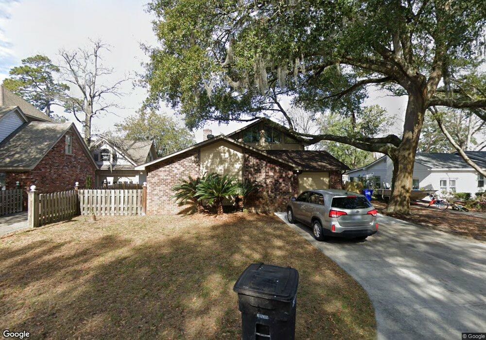
1078 N Shadow Dr Mount Pleasant, SC 29464
Shemwood NeighborhoodEstimated Value: $883,000 - $1,346,979
4
Beds
3
Baths
2,849
Sq Ft
$405/Sq Ft
Est. Value
About This Home
This home is located at 1078 N Shadow Dr, Mount Pleasant, SC 29464 and is currently estimated at $1,154,995, approximately $405 per square foot. 1078 N Shadow Dr is a home located in Charleston County with nearby schools including James B. Edwards Elementary School, Moultrie Middle School, and Lucy Garrett Beckham High School.
Ownership History
Date
Name
Owned For
Owner Type
Purchase Details
Closed on
Aug 29, 2014
Sold by
Mccarthy Edward G and Perretta Mccarthy Julie
Bought by
Barbati Robert and Barbati Joyce M
Current Estimated Value
Home Financials for this Owner
Home Financials are based on the most recent Mortgage that was taken out on this home.
Original Mortgage
$324,800
Outstanding Balance
$249,114
Interest Rate
4.19%
Mortgage Type
New Conventional
Estimated Equity
$905,881
Purchase Details
Closed on
Jun 11, 2008
Sold by
Bradfield Dennis L and Bradfield Laura F
Bought by
Mccarthy Edward G and Perretta Mccarthy Julie
Home Financials for this Owner
Home Financials are based on the most recent Mortgage that was taken out on this home.
Original Mortgage
$299,250
Interest Rate
5.97%
Mortgage Type
Unknown
Create a Home Valuation Report for This Property
The Home Valuation Report is an in-depth analysis detailing your home's value as well as a comparison with similar homes in the area
Home Values in the Area
Average Home Value in this Area
Purchase History
| Date | Buyer | Sale Price | Title Company |
|---|---|---|---|
| Barbati Robert | $406,000 | -- | |
| Mccarthy Edward G | $315,000 | -- |
Source: Public Records
Mortgage History
| Date | Status | Borrower | Loan Amount |
|---|---|---|---|
| Open | Barbati Robert | $324,800 | |
| Previous Owner | Mccarthy Edward G | $299,250 |
Source: Public Records
Tax History Compared to Growth
Tax History
| Year | Tax Paid | Tax Assessment Tax Assessment Total Assessment is a certain percentage of the fair market value that is determined by local assessors to be the total taxable value of land and additions on the property. | Land | Improvement |
|---|---|---|---|---|
| 2024 | $2,547 | $21,160 | $0 | $0 |
| 2023 | $2,547 | $21,160 | $0 | $0 |
| 2022 | $2,338 | $21,160 | $0 | $0 |
| 2021 | $2,507 | $21,160 | $0 | $0 |
| 2020 | $2,563 | $21,160 | $0 | $0 |
| 2019 | $2,257 | $18,390 | $0 | $0 |
| 2017 | $2,052 | $16,970 | $0 | $0 |
| 2016 | $1,960 | $16,970 | $0 | $0 |
| 2015 | $5,169 | $24,360 | $0 | $0 |
| 2014 | $1,143 | $0 | $0 | $0 |
| 2011 | -- | $0 | $0 | $0 |
Source: Public Records
Map
Nearby Homes
- 1141 Bonnie Ln
- 1134 S Shadow Dr
- 1158 Village Creek Ln Unit 3
- 1140 Pleasant Pines Rd
- 1142 Village Creek Ln Unit 4
- 1129 Village Creek Ln Unit 2
- 1130 Village Creek Ln Unit 3
- 1308 Old Tabby Ln
- 0 Chuck Dawley Blvd Unit 25018679
- 918 Sea Gull Dr Unit A-D
- 1054 Anna Knapp Blvd Unit 5C
- 1057 Hunters Trace
- 901 Sea Gull Dr Unit A&B
- 1228 Melvin Bennett Rd
- 1226 Gannett Rd
- 1224 Decoy Ct
- 1088 Quiet Rd
- 1101 Quiet Rd
- 1288 Old Colony Rd
- 10 Acres Wingo Way
- 1078 N Shadow Dr
- 1082 N Shadow Dr
- 1074 N Shadow Dr
- 1081 N Shadow Dr
- 1086 N Shadow Dr
- 1079 N Shadow Dr
- 1070 N Shadow Dr
- 1083 N Shadow Dr
- 1066 N Shadow Dr
- 1090 N Shadow Dr
- 1107 Bonnie Ln
- 1069 N Shadow Dr
- 1065 N Shadow Dr
- 1087 N Shadow Dr
- 1094 N Shadow Dr
- 1131 Bonnie Ln
- 1110 Bonnie Ln
- 1115 Bonnie Ln
- 1062 N Shadow Dr
- 1105 N Shadow Dr