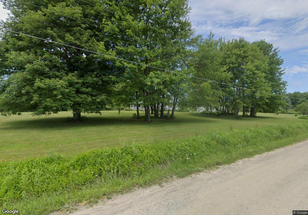
10784 Mohawk Rd Cranesville, PA 16410
Estimated Value: $195,000 - $1,088,403
3
Beds
3
Baths
1,901
Sq Ft
$311/Sq Ft
Est. Value
About This Home
This home is located at 10784 Mohawk Rd, Cranesville, PA 16410 and is currently estimated at $591,801, approximately $311 per square foot. 10784 Mohawk Rd is a home located in Erie County with nearby schools including McKean Elementary School, James W. Parker Middle School, and General McLane High School.
Ownership History
Date
Name
Owned For
Owner Type
Purchase Details
Closed on
Dec 30, 2016
Sold by
Szymazowicz Alice F
Bought by
Willow Farm 8282 Llc
Current Estimated Value
Purchase Details
Closed on
Aug 29, 2000
Sold by
Brian Woodward and Brian Darcy J
Bought by
Ebert Karl E and Ebert Sally A
Home Financials for this Owner
Home Financials are based on the most recent Mortgage that was taken out on this home.
Original Mortgage
$131,600
Interest Rate
8.16%
Create a Home Valuation Report for This Property
The Home Valuation Report is an in-depth analysis detailing your home's value as well as a comparison with similar homes in the area
Home Values in the Area
Average Home Value in this Area
Purchase History
| Date | Buyer | Sale Price | Title Company |
|---|---|---|---|
| Willow Farm 8282 Llc | $650,000 | None Available | |
| Ebert Karl E | $188,000 | -- |
Source: Public Records
Mortgage History
| Date | Status | Borrower | Loan Amount |
|---|---|---|---|
| Previous Owner | Ebert Karl E | $131,600 |
Source: Public Records
Tax History Compared to Growth
Tax History
| Year | Tax Paid | Tax Assessment Tax Assessment Total Assessment is a certain percentage of the fair market value that is determined by local assessors to be the total taxable value of land and additions on the property. | Land | Improvement |
|---|---|---|---|---|
| 2025 | $5,520 | $222,420 | $26,600 | $195,820 |
| 2024 | $5,360 | $222,420 | $26,600 | $195,820 |
| 2023 | $5,071 | $222,420 | $26,600 | $195,820 |
| 2022 | $4,871 | $222,420 | $26,600 | $195,820 |
| 2021 | $4,813 | $222,420 | $26,600 | $195,820 |
| 2020 | $4,758 | $222,420 | $26,600 | $195,820 |
| 2019 | $4,729 | $222,420 | $26,600 | $195,820 |
| 2018 | $4,635 | $222,420 | $26,600 | $195,820 |
| 2017 | $4,635 | $222,420 | $26,600 | $195,820 |
| 2016 | $5,492 | $222,420 | $26,600 | $195,820 |
| 2015 | $5,436 | $222,420 | $26,600 | $195,820 |
| 2014 | $2,794 | $222,420 | $26,600 | $195,820 |
Source: Public Records
Map
Nearby Homes
- 7591 Crane Rd
- 8350 Carbury Rd
- 7036 New Rd
- 10135 Pennsylvania 98
- 11120 West Rd
- Lot3 West Rd
- Lot1 West Rd
- 2001 Washington Towne Blvd
- 15954 Parsons Ln
- 8800 Francis Rd
- 0 Marketplace Dr Unit 148448
- 11047 Fry Rd
- 0 Fry Rd
- 5732 Obed Heights Dr
- 0 6n Route Unit 187309
- 0 Beach Ave Extension Unit 1682668
- 00 S Creed Rd Lot Unit WP001
- 9731 Silverthorn Rd
- 0 Dr Unit 175829
- 0 Shenango Dr Unit 1
