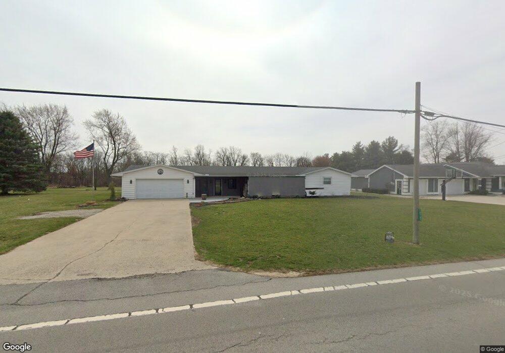
10787 State Route 12 Columbus Grove, OH 45830
Estimated Value: $200,911 - $294,000
--
Bed
1
Bath
2,138
Sq Ft
$114/Sq Ft
Est. Value
About This Home
This home is located at 10787 State Route 12, Columbus Grove, OH 45830 and is currently estimated at $243,228, approximately $113 per square foot. 10787 State Route 12 is a home located in Putnam County with nearby schools including Columbus Grove Elementary School, Columbus Grove Middle School, and Columbus Grove High School.
Ownership History
Date
Name
Owned For
Owner Type
Purchase Details
Closed on
Oct 7, 2021
Sold by
Burkholder Alice I and Hattery Bonnie
Bought by
Halker Thomas L and Halker Sally A
Current Estimated Value
Home Financials for this Owner
Home Financials are based on the most recent Mortgage that was taken out on this home.
Original Mortgage
$212,600
Outstanding Balance
$193,871
Interest Rate
2.8%
Mortgage Type
Purchase Money Mortgage
Estimated Equity
$49,357
Create a Home Valuation Report for This Property
The Home Valuation Report is an in-depth analysis detailing your home's value as well as a comparison with similar homes in the area
Home Values in the Area
Average Home Value in this Area
Purchase History
| Date | Buyer | Sale Price | Title Company |
|---|---|---|---|
| Halker Thomas L | $180,000 | None Available |
Source: Public Records
Mortgage History
| Date | Status | Borrower | Loan Amount |
|---|---|---|---|
| Open | Halker Thomas L | $212,600 |
Source: Public Records
Tax History Compared to Growth
Tax History
| Year | Tax Paid | Tax Assessment Tax Assessment Total Assessment is a certain percentage of the fair market value that is determined by local assessors to be the total taxable value of land and additions on the property. | Land | Improvement |
|---|---|---|---|---|
| 2024 | $1,792 | $56,720 | $4,640 | $52,080 |
| 2023 | $1,899 | $39,830 | $3,660 | $36,170 |
| 2022 | $1,531 | $39,830 | $3,661 | $36,169 |
| 2021 | $1,114 | $39,830 | $3,661 | $36,169 |
| 2020 | $1,115 | $34,000 | $3,410 | $30,590 |
| 2019 | $953 | $35,850 | $3,660 | $32,190 |
| 2018 | $946 | $35,850 | $3,660 | $32,190 |
| 2017 | $959 | $35,850 | $3,660 | $32,190 |
| 2016 | $867 | $34,000 | $3,410 | $30,590 |
| 2015 | $871 | $34,000 | $3,410 | $30,590 |
| 2014 | $880 | $34,000 | $3,410 | $30,590 |
| 2013 | $877 | $34,000 | $3,410 | $30,590 |
Source: Public Records
Map
Nearby Homes
- 205 S Broadway St
- 204 S Broadway St
- 11059 Ottawa Rd
- 15640 Old State Route 65
- 147 Elm St
- 5635 Port St
- 9896 Road M
- 102 W Main St
- 6585 Ottawa Rd
- 00000 Ohio 696
- 000 Ohio 696
- 0000 Ohio 696
- 513 W Main St
- 15105 Road 15m
- 201 Wall St
- 309 Wall St
- 17429 Road 5
- 670 Woodland Dr
- 101 Maplewood Dr
- 7957 Hillville Rd