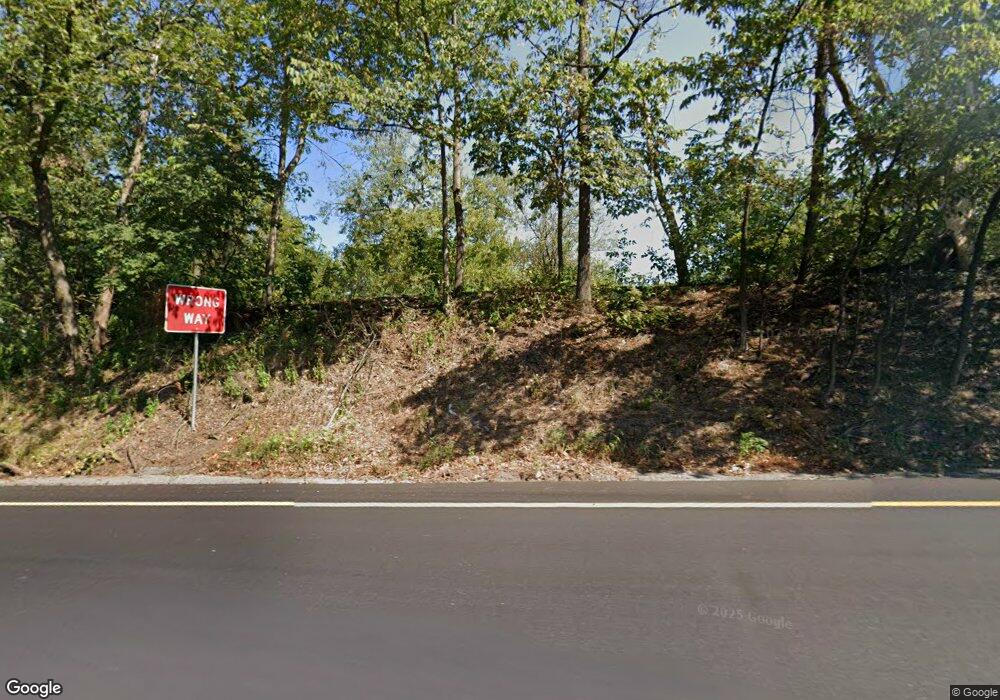
1079 Ben Franklin Hwy E Douglassville, PA 19518
Amity NeighborhoodEstimated Value: $328,423 - $374,000
3
Beds
1
Bath
1,820
Sq Ft
$194/Sq Ft
Est. Value
About This Home
This home is located at 1079 Ben Franklin Hwy E, Douglassville, PA 19518 and is currently estimated at $353,606, approximately $194 per square foot. 1079 Ben Franklin Hwy E is a home located in Berks County with nearby schools including Daniel Boone Area Primary Center, Daniel Boone Area Middle School, and Daniel Boone Area High School.
Ownership History
Date
Name
Owned For
Owner Type
Purchase Details
Closed on
Dec 2, 2022
Sold by
Oconee Group Llc
Bought by
Lehigh Valley Health Network Realty Holding C
Current Estimated Value
Purchase Details
Closed on
Jul 7, 2008
Sold by
Egan Margaret M
Bought by
Egan Margaret M
Purchase Details
Closed on
May 4, 1971
Bought by
Egan Eugene
Create a Home Valuation Report for This Property
The Home Valuation Report is an in-depth analysis detailing your home's value as well as a comparison with similar homes in the area
Home Values in the Area
Average Home Value in this Area
Purchase History
| Date | Buyer | Sale Price | Title Company |
|---|---|---|---|
| Lehigh Valley Health Network Realty Holding C | $785,000 | -- | |
| Egan Margaret M | -- | None Available | |
| Egan Eugene | -- | -- |
Source: Public Records
Tax History Compared to Growth
Tax History
| Year | Tax Paid | Tax Assessment Tax Assessment Total Assessment is a certain percentage of the fair market value that is determined by local assessors to be the total taxable value of land and additions on the property. | Land | Improvement |
|---|---|---|---|---|
| 2025 | $1,525 | $117,000 | $35,800 | $81,200 |
| 2024 | $5,220 | $117,000 | $35,800 | $81,200 |
| 2023 | $5,113 | $117,000 | $35,800 | $81,200 |
| 2022 | $5,048 | $117,000 | $35,800 | $81,200 |
| 2021 | $4,919 | $117,000 | $35,800 | $81,200 |
| 2020 | $4,919 | $117,000 | $35,800 | $81,200 |
| 2019 | $4,831 | $117,000 | $35,800 | $81,200 |
| 2018 | $4,733 | $117,000 | $35,800 | $81,200 |
| 2017 | $4,624 | $117,000 | $35,800 | $81,200 |
| 2016 | $1,069 | $117,000 | $35,800 | $81,200 |
| 2015 | $1,069 | $117,000 | $35,800 | $81,200 |
| 2014 | $1,069 | $117,000 | $35,800 | $81,200 |
Source: Public Records
Map
Nearby Homes
- 0 W Rte 422 Unit PABK2064208
- 102 Old Airport Rd
- 216 Laurelwood Dr
- Lot 1 N Monocacy Cre Benjamin Franklin Hwy
- Lot 3 Benjamin Franklin Hwy
- Lot 4 Benjamin Franklin Hwy
- 2022 E Main St
- 2012 E Main St
- 519 Glenwood Dr
- 523 Glenwood Dr
- 108 Letort Ln
- 14 Charles Ave
- 26 Joseph Ave
- 4 Joseph Ave
- 3 Joseph Ave
- 101 Ronald Ave
- 11 Morlatton Rd
- 89 Valley View Rd
- 639 Old Airport Rd
- 353 Douglass Dr
- 1071 Ben Franklin Hwy E
- 1100 Ben Franklin Hwy W
- 1091 Ben Franklin Hwy E
- 00 Benjamin Franklin Hwy
- 0 W Rte 422 Unit PABK2035248
- 1079 Ben Franklin Hwy W
- 1095 Ben Franklin Hwy E
- 30 Edison Rd
- 1091 Ben Franklin Hwy W
- 1099 Ben Franklin Hwy E
- 19 Park Ln
- 1103 Ben Franklin Hwy E
- 1050 Benjamin Franklin Hwy
- 1 Park Ln Unit 105
- 1 Park Ln Unit 203
- 1 Park Ln Unit 201
- 1 Park Ln Unit 202
- 1 Park Ln
- 1055 Ben Franklin Hwy W
- 1123 Ben Franklin Hwy W
