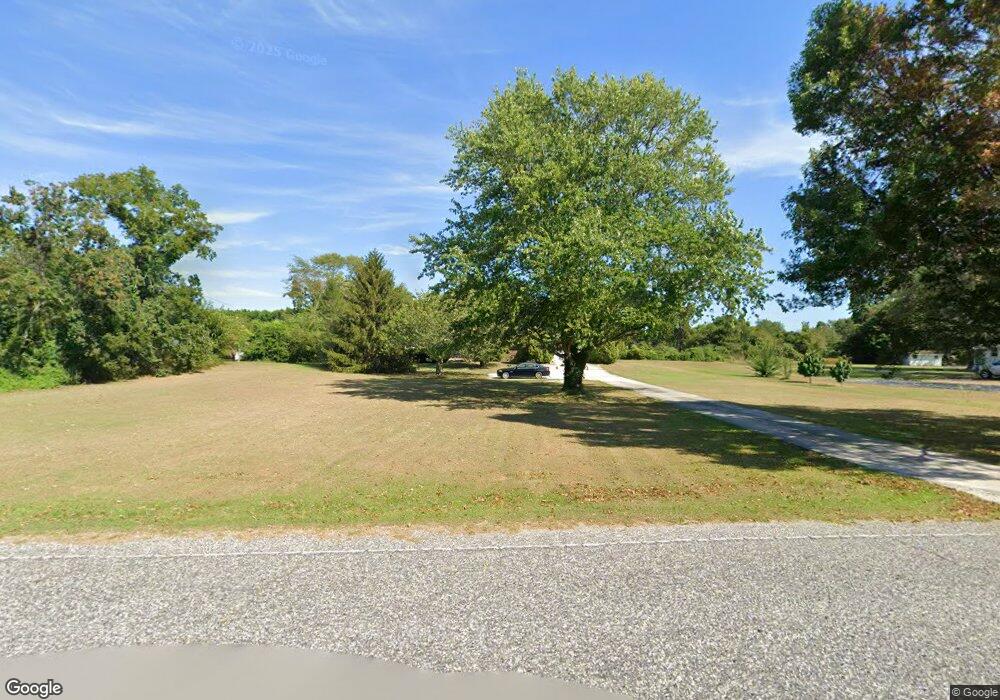
1079 Shunpike Rd Cape May, NJ 08204
Estimated Value: $953,000 - $1,432,000
--
Bed
--
Bath
2,660
Sq Ft
$445/Sq Ft
Est. Value
About This Home
This home is located at 1079 Shunpike Rd, Cape May, NJ 08204 and is currently estimated at $1,184,881, approximately $445 per square foot. 1079 Shunpike Rd is a home located in Cape May County with nearby schools including Carl T. Mitnick School, David C. Douglass Veterans Memorial School, and Maud Abrams School.
Ownership History
Date
Name
Owned For
Owner Type
Purchase Details
Closed on
Sep 7, 2012
Sold by
Bruno Jennifer and Gilbert Matthew R
Bought by
Gilbert Matthew R
Current Estimated Value
Purchase Details
Closed on
May 13, 2002
Sold by
Gregory L Search
Bought by
Gilbert Robert H
Home Financials for this Owner
Home Financials are based on the most recent Mortgage that was taken out on this home.
Original Mortgage
$240,000
Outstanding Balance
$102,910
Interest Rate
7.15%
Estimated Equity
$1,081,971
Create a Home Valuation Report for This Property
The Home Valuation Report is an in-depth analysis detailing your home's value as well as a comparison with similar homes in the area
Home Values in the Area
Average Home Value in this Area
Purchase History
| Date | Buyer | Sale Price | Title Company |
|---|---|---|---|
| Gilbert Matthew R | -- | None Available | |
| Gilbert Robert H | $340,000 | -- |
Source: Public Records
Mortgage History
| Date | Status | Borrower | Loan Amount |
|---|---|---|---|
| Open | Gilbert Robert H | $240,000 |
Source: Public Records
Tax History Compared to Growth
Tax History
| Year | Tax Paid | Tax Assessment Tax Assessment Total Assessment is a certain percentage of the fair market value that is determined by local assessors to be the total taxable value of land and additions on the property. | Land | Improvement |
|---|---|---|---|---|
| 2025 | $10,464 | $516,000 | $244,400 | $271,600 |
| 2024 | $10,464 | $516,000 | $244,400 | $271,600 |
| 2023 | $10,315 | $516,000 | $244,400 | $271,600 |
| 2022 | $10,000 | $516,000 | $244,400 | $271,600 |
| 2021 | $9,385 | $516,000 | $244,400 | $271,600 |
| 2020 | $9,546 | $516,000 | $244,400 | $271,600 |
| 2019 | $9,309 | $516,000 | $244,400 | $271,600 |
| 2018 | $9,087 | $516,000 | $244,400 | $271,600 |
| 2017 | $9,097 | $516,000 | $244,400 | $271,600 |
| 2016 | $8,958 | $516,000 | $244,400 | $271,600 |
| 2015 | $8,669 | $516,000 | $244,400 | $271,600 |
| 2014 | $8,385 | $516,000 | $244,400 | $271,600 |
Source: Public Records
Map
Nearby Homes
- 59 Westwood Dr
- 123 Stimpson Ln
- 1062 Seashore Rd
- 605 Bayshore Rd
- 1083 Seashore Rd
- 3 Hannah Dr
- 1036 Seashore Rd
- 306 Sixth Ave
- 1023 Shunpike Rd
- 1031 Seashore Rd
- 111 Leaming Ave
- 735 Maple Ave
- 401 Fourth Ave
- 845 Broadway
- 506 Broadway
- 132 Leaming Ave
- 405 4th Ave
- 326 4th Ave
- 414 Broadway Unit 416
- 416 Broadway Unit 416
- 1077 Shunpike Rd
- 1083 Shunpike Rd
- 1076 Shunpike Rd
- 1080 Shunpike Rd
- 1075 Shunpike Rd
- 19 Taylor Ln
- 21 Taylor Ln
- 1072 Shunpike Rd
- 1073 Shunpike Rd
- 1082 Shunpike Rd
- 4085 Bayshore Rd
- 706 San Fernando Rd
- 23 Taylor Ln
- 694 Socs Ln
- 708 San Fernando Rd
- 704 San Fernando Rd
- 710 San Fernando Rd
- 1087 Shunpike Rd
- 17 Taylor Ln
- 1084 Shunpike Rd