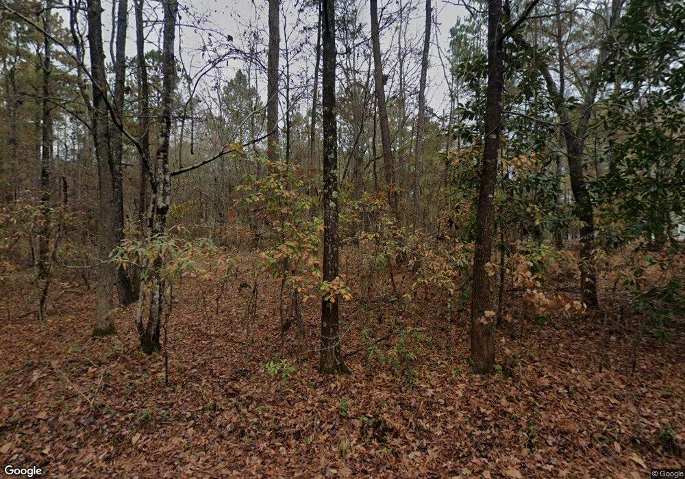
10795 Cedar Grove Rd Fairburn, GA 30213
Estimated Value: $402,000 - $442,000
4
Beds
3
Baths
2,366
Sq Ft
$176/Sq Ft
Est. Value
About This Home
This home is located at 10795 Cedar Grove Rd, Fairburn, GA 30213 and is currently estimated at $416,004, approximately $175 per square foot. 10795 Cedar Grove Rd is a home located in Fulton County with nearby schools including Palmetto Elementary School, Bear Creek Middle School, and Creekside High School.
Ownership History
Date
Name
Owned For
Owner Type
Purchase Details
Closed on
Aug 15, 2013
Sold by
Miller Michael O
Bought by
Miller Marie R
Current Estimated Value
Purchase Details
Closed on
Dec 29, 2011
Sold by
Citibank Na Trustee
Bought by
Miller Michael O
Home Financials for this Owner
Home Financials are based on the most recent Mortgage that was taken out on this home.
Original Mortgage
$73,760
Interest Rate
4.06%
Mortgage Type
New Conventional
Create a Home Valuation Report for This Property
The Home Valuation Report is an in-depth analysis detailing your home's value as well as a comparison with similar homes in the area
Home Values in the Area
Average Home Value in this Area
Purchase History
| Date | Buyer | Sale Price | Title Company |
|---|---|---|---|
| Miller Marie R | -- | -- | |
| Miller Michael O | $92,200 | -- |
Source: Public Records
Mortgage History
| Date | Status | Borrower | Loan Amount |
|---|---|---|---|
| Previous Owner | Miller Michael O | $73,760 |
Source: Public Records
Tax History Compared to Growth
Tax History
| Year | Tax Paid | Tax Assessment Tax Assessment Total Assessment is a certain percentage of the fair market value that is determined by local assessors to be the total taxable value of land and additions on the property. | Land | Improvement |
|---|---|---|---|---|
| 2025 | $1,764 | $125,600 | $51,040 | $74,560 |
| 2023 | $3,551 | $125,800 | $51,040 | $74,760 |
| 2022 | $1,519 | $95,520 | $25,120 | $70,400 |
| 2021 | $1,517 | $92,680 | $24,360 | $68,320 |
| 2020 | $1,548 | $91,600 | $24,080 | $67,520 |
| 2019 | $1,513 | $89,960 | $23,640 | $66,320 |
| 2018 | $2,508 | $92,920 | $13,920 | $79,000 |
| 2017 | $945 | $36,844 | $15,404 | $21,440 |
| 2016 | $964 | $36,840 | $15,400 | $21,440 |
| 2015 | $967 | $36,840 | $15,400 | $21,440 |
| 2014 | $978 | $36,840 | $15,400 | $21,440 |
Source: Public Records
Map
Nearby Homes
- 10215 Creel Rd
- 5447 Baybrook Cir
- 10390 Rivertown Rd
- 5785 Woodruff Rd
- 6670 Old Ferry Ct
- 0 Creel Rd Unit 7655808
- 0 S River Rd Unit 20077162
- 4785 Highway 166
- 5885 W Chapel Hill Rd
- 0 Fouts Mill Rd Unit 7531950
- 0 Fouts Mill Rd Unit 10467671
- 5690 Highway 166
- 10130 Rivertown Rd
- 6240 River Ridge Dr
- 9620 Cedar Grove Rd
- 4950 Creel Rd
- 0 Bear Lake Dr Unit 10584269
- 9640 Cedar Grove Rd
- 6051 Bear Lake Dr
- 6050 Belmont Dr
- 10785 Cedar Grove Rd
- 10785 Cedar Grove Rd Unit 4.8 ACRES
- 10815 Cedar Grove Rd
- 10803 Rivertown Rd
- 10825 Campbellton Redwine Rd
- 10780 Cedar Grove Rd
- 10765 Cedar Grove Rd
- 5088 Rivertown Rd
- 10793 Rivertown Rd
- 10770 Cedar Grove Rd
- 5095 River Lake Dr
- 10783 Rivertown Rd
- 5085 River Lake Dr
- 10740 Cedar Grove Rd
- 740 Cedar Grove Rd
- 5075 River Lake Dr
- 10775 Rivertown Rd
- 10760 Rivertown Rd
- 10730 Cedar Grove Rd Unit 3
- 10730 Cedar Grove Rd
