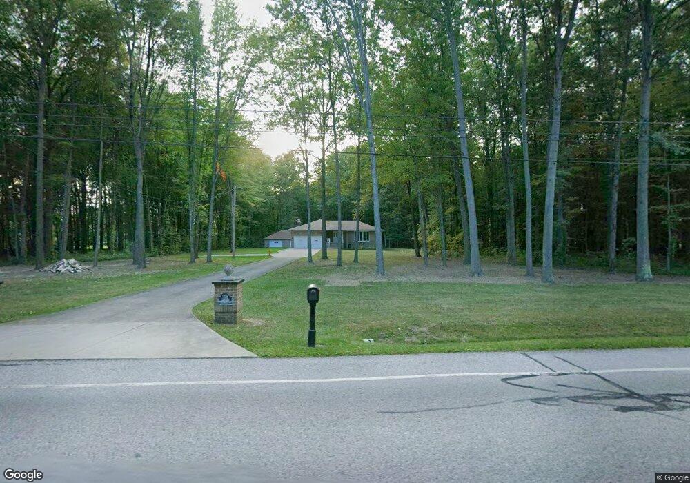
10798 Station Rd Columbia Station, OH 44028
Estimated Value: $409,000 - $513,000
3
Beds
2
Baths
1,915
Sq Ft
$245/Sq Ft
Est. Value
About This Home
This home is located at 10798 Station Rd, Columbia Station, OH 44028 and is currently estimated at $469,970, approximately $245 per square foot. 10798 Station Rd is a home located in Lorain County with nearby schools including Falls-Lenox Primary Elementary School, Olmsted Falls Intermediate Building, and Olmsted Falls Middle School.
Ownership History
Date
Name
Owned For
Owner Type
Purchase Details
Closed on
Jun 30, 2023
Sold by
Kowalski Regan J and Kowalski Cynthia A
Bought by
Hunter Roadkill Llc
Current Estimated Value
Purchase Details
Closed on
Dec 21, 2022
Sold by
Marga Schetterer Living Trust
Bought by
Kowalski Regan J and Kowalski Cynthia A
Purchase Details
Closed on
Dec 11, 2002
Sold by
Marga Schetterer
Bought by
Schetterer Marga and Marga Schetterer Living Trust
Create a Home Valuation Report for This Property
The Home Valuation Report is an in-depth analysis detailing your home's value as well as a comparison with similar homes in the area
Home Values in the Area
Average Home Value in this Area
Purchase History
| Date | Buyer | Sale Price | Title Company |
|---|---|---|---|
| Hunter Roadkill Llc | -- | None Listed On Document | |
| Kowalski Regan J | $404,000 | -- | |
| Schetterer Marga | -- | -- |
Source: Public Records
Tax History Compared to Growth
Tax History
| Year | Tax Paid | Tax Assessment Tax Assessment Total Assessment is a certain percentage of the fair market value that is determined by local assessors to be the total taxable value of land and additions on the property. | Land | Improvement |
|---|---|---|---|---|
| 2024 | $4,996 | $87,549 | $35,826 | $51,723 |
| 2023 | $3,207 | $46,473 | $16,450 | $30,023 |
| 2022 | $2,490 | $46,473 | $16,450 | $30,023 |
| 2021 | $5,504 | $92,978 | $32,918 | $60,060 |
| 2020 | $5,605 | $85,070 | $30,120 | $54,950 |
| 2019 | $5,001 | $85,070 | $30,120 | $54,950 |
| 2018 | $5,030 | $85,070 | $30,120 | $54,950 |
| 2017 | $5,153 | $81,290 | $29,730 | $51,560 |
| 2016 | $5,194 | $81,290 | $29,730 | $51,560 |
| 2015 | $5,228 | $81,290 | $29,730 | $51,560 |
| 2014 | $4,905 | $77,130 | $28,210 | $48,920 |
| 2013 | $4,908 | $77,130 | $28,210 | $48,920 |
Source: Public Records
Map
Nearby Homes
- 26571 Sprague Rd
- 9954 Ethan Dr
- 9628 Kingston Trail
- 27167 Watkin Rd
- 23663 Victory Ln
- 27056 Sprague Rd
- 9130 Devonshire Dr
- 9112 Devonshire Dr
- 26645 Lake of the Falls Blvd
- 11834 W River Rd
- 8860 Sharp Rd
- 9159 E Windsor Dr
- 33621 Henwell Rd
- 33700 Henwell Rd
- 31100 Blooming Ln
- 8706 Stearns Rd
- 33743 Henwell Rd
- 26609 N Park Blvd Unit 26609
- 26700 Redwood Dr
- 26523 Sussex Dr
- 10865 Station Rd
- 11170 Station Rd
- 10811 Station Rd
- 10620 Station Rd
- 0 Station Rd Unit 3928016
- 0 Station Rd Unit 258406
- 0 Station Rd Unit 674612
- 10625 Station Rd
- 10915 Station Rd
- 10915 Station Rd
- 10617 Station Rd
- 10550 Station Rd
- 26440 Osborne Rd
- 10555 Station Rd
- 26465 Osborne Rd
- 10497 Station Rd
- 10496 Station Rd
- 26383 Osborne Rd
- 10888 Station Rd
- 26782 Springfield Cir