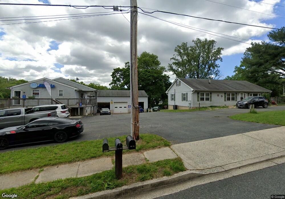
107E E Wheel Rd Bel Air, MD 21015
Estimated Value: $715,260
Studio
2
Baths
1,484
Sq Ft
$482/Sq Ft
Est. Value
About This Home
This home is located at 107E E Wheel Rd, Bel Air, MD 21015 and is currently estimated at $715,260, approximately $481 per square foot. 107E E Wheel Rd is a home located in Harford County with nearby schools including Ring Factory Elementary School, Patterson Mill Middle School, and Patterson Mill High School.
Ownership History
Date
Name
Owned For
Owner Type
Purchase Details
Closed on
Jan 15, 2025
Sold by
Freilich Linda M
Bought by
Diversified Properties Llc
Current Estimated Value
Home Financials for this Owner
Home Financials are based on the most recent Mortgage that was taken out on this home.
Original Mortgage
$492,800
Outstanding Balance
$489,318
Interest Rate
6.72%
Mortgage Type
New Conventional
Estimated Equity
$225,942
Purchase Details
Closed on
Mar 5, 1996
Sold by
Freilich Linda M
Bought by
Freilich Linda M
Purchase Details
Closed on
Jun 13, 1991
Sold by
Emmorton Electric Testing
Bought by
Freilich Linda M
Create a Home Valuation Report for This Property
The Home Valuation Report is an in-depth analysis detailing your home's value as well as a comparison with similar homes in the area
Home Values in the Area
Average Home Value in this Area
Purchase History
| Date | Buyer | Sale Price | Title Company |
|---|---|---|---|
| Diversified Properties Llc | $704,000 | Commercial Title Company | |
| Freilich Linda M | -- | -- | |
| Freilich Linda M | $200,000 | -- |
Source: Public Records
Mortgage History
| Date | Status | Borrower | Loan Amount |
|---|---|---|---|
| Open | Diversified Properties Llc | $492,800 |
Source: Public Records
Tax History
| Year | Tax Paid | Tax Assessment Tax Assessment Total Assessment is a certain percentage of the fair market value that is determined by local assessors to be the total taxable value of land and additions on the property. | Land | Improvement |
|---|---|---|---|---|
| 2025 | $7,519 | $722,100 | $0 | $0 |
| 2024 | $7,095 | $689,900 | $0 | $0 |
| 2023 | $7,095 | $657,700 | $324,700 | $333,000 |
| 2022 | $7,095 | $650,933 | $0 | $0 |
| 2020 | $210 | $637,400 | $324,700 | $312,700 |
| 2019 | $7,356 | $637,400 | $324,700 | $312,700 |
| 2018 | $7,289 | $637,400 | $324,700 | $312,700 |
| 2017 | $7,367 | $644,200 | $0 | $0 |
| 2016 | $210 | $644,200 | $0 | $0 |
| 2015 | $7,902 | $644,200 | $0 | $0 |
| 2014 | $7,902 | $654,000 | $0 | $0 |
Source: Public Records
Map
Nearby Homes
- 211 E Wheel Rd
- 108 Laurel Valley Ct
- 200 Maple Wreath Ct
- 202 Burkwood Ct
- 201 Burkwood Ct
- 2310 Bell's Tower Ct
- Parkland Plan at Bell's Tower - Bell's Tower
- 2513 Kenna Ct Unit 7
- 140 Royal Oak Dr Unit 140-C
- 400 Hazelnut Ct Unit D
- 133 Spruce Woods Ct
- 419 Clydebank Dr
- 301 Tall Pines Ct Unit A
- 322 Barrister Ct
- 2608 Laurel Valley Garth
- 2058 Whitney Ln
- 309 Tiree Ct Unit 203
- 2815 Lanarkshire Way
- 400 Teresa Marie Ct
- 2300 Arthurs Woods Dr
- 107 E Wheel Rd
- 107 E E Wheel Rd
- 2307 Old Emmorton Rd
- 109 E Wheel Rd
- 101 E Wheel Rd Unit B
- 101 E Wheel Rd
- 215 Temple Dr
- 2305 Old Emmorton Rd
- 217 Temple Dr
- 213 Temple Dr
- 219 Temple Dr
- 221 Temple Dr
- 211 Temple Dr
- 108 E Wheel Rd
- 223 Temple Dr
- 209 Temple Dr
- 225 Temple Dr
- 227 Temple Dr
- 207 Temple Dr
- 2313 Old Emmorton Rd
Your Personal Tour Guide
Ask me questions while you tour the home.