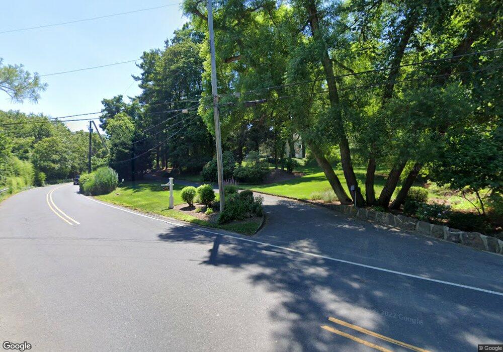
108 Browns Dock Rd Atlantic Highlands, NJ 07716
New Monmouth NeighborhoodEstimated Value: $1,673,000 - $2,413,000
4
Beds
3
Baths
4,058
Sq Ft
$518/Sq Ft
Est. Value
About This Home
This home is located at 108 Browns Dock Rd, Atlantic Highlands, NJ 07716 and is currently estimated at $2,101,781, approximately $517 per square foot. 108 Browns Dock Rd is a home located in Monmouth County with nearby schools including Navesink Elementary School, Bayshore Middle School, and Middletown - South High School.
Ownership History
Date
Name
Owned For
Owner Type
Purchase Details
Closed on
Mar 4, 2011
Sold by
Singer Lori
Bought by
Bartlett John C and Hook Shannon M Vander
Current Estimated Value
Home Financials for this Owner
Home Financials are based on the most recent Mortgage that was taken out on this home.
Original Mortgage
$700,000
Outstanding Balance
$263,655
Interest Rate
4.84%
Mortgage Type
New Conventional
Estimated Equity
$1,838,126
Purchase Details
Closed on
Apr 3, 1997
Sold by
Mendoza Irwin
Bought by
Sheeran Martin and Singer Lori
Home Financials for this Owner
Home Financials are based on the most recent Mortgage that was taken out on this home.
Original Mortgage
$474,000
Interest Rate
7.55%
Create a Home Valuation Report for This Property
The Home Valuation Report is an in-depth analysis detailing your home's value as well as a comparison with similar homes in the area
Home Values in the Area
Average Home Value in this Area
Purchase History
| Date | Buyer | Sale Price | Title Company |
|---|---|---|---|
| Bartlett John C | $1,340,000 | Chicago Title Insurance Co | |
| Sheeran Martin | $592,000 | -- |
Source: Public Records
Mortgage History
| Date | Status | Borrower | Loan Amount |
|---|---|---|---|
| Open | Bartlett John C | $700,000 | |
| Previous Owner | Sheeran Martin | $474,000 |
Source: Public Records
Tax History Compared to Growth
Tax History
| Year | Tax Paid | Tax Assessment Tax Assessment Total Assessment is a certain percentage of the fair market value that is determined by local assessors to be the total taxable value of land and additions on the property. | Land | Improvement |
|---|---|---|---|---|
| 2025 | $27,126 | $1,667,100 | $684,500 | $982,600 |
| 2024 | $28,583 | $1,649,000 | $729,500 | $919,500 |
| 2023 | $28,583 | $1,644,600 | $694,800 | $949,800 |
| 2022 | $29,942 | $1,538,500 | $634,200 | $904,300 |
| 2021 | $29,942 | $1,439,500 | $634,200 | $805,300 |
| 2020 | $30,986 | $1,449,300 | $634,200 | $815,100 |
| 2019 | $31,108 | $1,472,900 | $634,200 | $838,700 |
| 2018 | $31,075 | $1,434,000 | $634,200 | $799,800 |
| 2017 | $31,639 | $1,489,600 | $634,200 | $855,400 |
| 2016 | $30,582 | $1,435,100 | $634,200 | $800,900 |
| 2015 | $30,432 | $1,405,800 | $634,200 | $771,600 |
| 2014 | $29,317 | $1,339,300 | $634,200 | $705,100 |
Source: Public Records
Map
Nearby Homes
- 185 Monmouth Ave
- HAMPSHIRE Plan at Central Ave
- 498 Central Ave
- 34 Serpentine Dr
- 502 Central Ave
- 500 Central Ave
- 7100 Prospect Ave
- 6998 Prospect Ave
- 96 East Ave Unit 75
- 96 East Ave Unit 92
- 139 Monmouth Ave
- 303 Hillside Ave
- 18 Middletown Ave
- 119 Chestnut Ave
- 38 East Ave
- 59 Asbury Ave
- 809 Navesink River Rd
- 125 Oakland Ave
- 16 E Garfield Ave
- 12 E Garfield Ave
- 671 Cooper Rd
- 88 Browns Dock Rd
- 88 Browns Dock Rd
- 114 Browns Dock Rd
- 122 Browns Dock Rd
- 105 Browns Dock Rd
- 115 Browns Dock Rd
- 226 Monmouth Ave
- 135 Browns Dock Rd
- 142 Browns Dock Rd
- 664 Locust Point Rd
- 160 Browns Dock Rd
- 649 Cooper Rd
- 238 Monmouth Ave
- 232 Monmouth Ave
- 676 Locust Point Rd
- 230 Monmouth Ave
- 668 Locust Point Rd
- 155 Browns Dock Rd
- 234 Monmouth Ave
