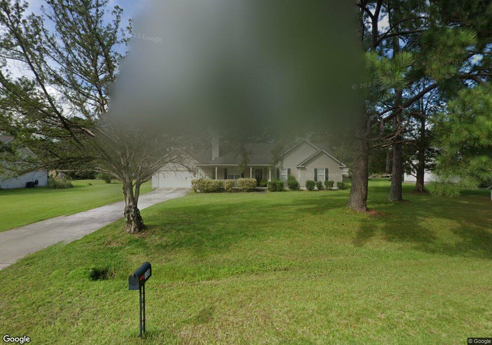
108 Cains Trace Brunswick, GA 31523
Estimated Value: $288,973 - $319,000
3
Beds
2
Baths
1,671
Sq Ft
$183/Sq Ft
Est. Value
About This Home
This home is located at 108 Cains Trace, Brunswick, GA 31523 and is currently estimated at $304,993, approximately $182 per square foot. 108 Cains Trace is a home located in Glynn County with nearby schools including Satilla Marsh Elementary School, Risley Middle School, and Glynn Academy.
Ownership History
Date
Name
Owned For
Owner Type
Purchase Details
Closed on
Dec 28, 2005
Sold by
Youmans Robert D
Bought by
Smith John D and Smith Rose M
Current Estimated Value
Home Financials for this Owner
Home Financials are based on the most recent Mortgage that was taken out on this home.
Original Mortgage
$165,000
Interest Rate
6.18%
Mortgage Type
New Conventional
Create a Home Valuation Report for This Property
The Home Valuation Report is an in-depth analysis detailing your home's value as well as a comparison with similar homes in the area
Home Values in the Area
Average Home Value in this Area
Purchase History
| Date | Buyer | Sale Price | Title Company |
|---|---|---|---|
| Smith John D | $162,000 | -- |
Source: Public Records
Mortgage History
| Date | Status | Borrower | Loan Amount |
|---|---|---|---|
| Closed | Smith John D | $165,000 |
Source: Public Records
Tax History Compared to Growth
Tax History
| Year | Tax Paid | Tax Assessment Tax Assessment Total Assessment is a certain percentage of the fair market value that is determined by local assessors to be the total taxable value of land and additions on the property. | Land | Improvement |
|---|---|---|---|---|
| 2025 | $2,499 | $99,640 | $11,200 | $88,440 |
| 2024 | $2,562 | $102,160 | $13,000 | $89,160 |
| 2023 | $327 | $102,160 | $13,000 | $89,160 |
| 2022 | $441 | $81,560 | $13,000 | $68,560 |
| 2021 | $451 | $73,560 | $13,000 | $60,560 |
| 2020 | $459 | $73,560 | $13,000 | $60,560 |
| 2019 | $459 | $73,560 | $13,000 | $60,560 |
| 2018 | $486 | $73,560 | $13,000 | $60,560 |
| 2017 | $486 | $72,480 | $13,000 | $59,480 |
| 2016 | $410 | $72,480 | $13,000 | $59,480 |
| 2015 | $1,324 | $72,480 | $13,000 | $59,480 |
| 2014 | $1,324 | $72,480 | $13,000 | $59,480 |
Source: Public Records
Map
Nearby Homes
- 126 Cains Trace
- 109 Harris Plantation Dr
- 0 Timber Landing Rd Unit 1654683
- 19 Abby Rd
- 993 Myers Hill Rd
- 826 Old C Rd
- 546 Emanuel Church Rd
- 532 Emanuel Church Rd
- 0 Highway 82 Hwy Unit 25297888
- 36 Carlee Ln
- 115 Silver Bluff Dr
- 93 Silver Bluff Dr
- 117 Rachel Way
- 465 Old Brookman Rd
- 110 Rachel Way
- 40 Jada Ln
- 145 Oyster Rd
- 628 Old Ccc Rd
- 224 Oyster Cir
- 638/628 Old C Rd
- 110 Cains Trace
- 106 Cains Trace
- 102 Cains Trace
- 107 Cains Trace
- 120 Cains Trace
- 105 Cains Trace
- 103 Cains Trace
- 111 Cains Trace
- 130 Cains Trace
- 100 Cains Trace
- 1139 Emanuel Church Rd
- 1127 Emanuel Church Rd
- 1143 Emanuel Church Rd
- 145 Livingston Dr
- 1115 Emanuel Church Rd
- 121 Cains Trace
- 171 Livingston Dr
- 119 Cains Trace
- 123 Cains Trace
- 115 Cains Trace