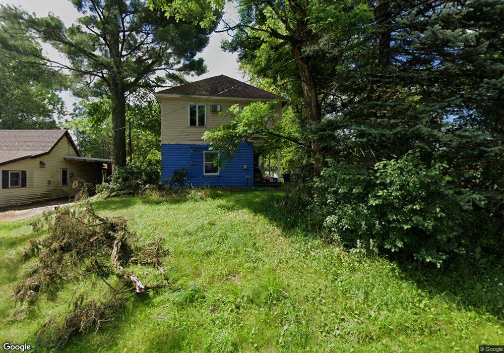
108 E Rollman St Bowler, WI 54416
Estimated Value: $107,783 - $367,000
Studio
--
Bath
1,752
Sq Ft
$122/Sq Ft
Est. Value
About This Home
This home is located at 108 E Rollman St, Bowler, WI 54416 and is currently estimated at $213,946, approximately $122 per square foot. 108 E Rollman St is a home located in Shawano County with nearby schools including Bowler Elementary School and Bowler High School.
Ownership History
Date
Name
Owned For
Owner Type
Purchase Details
Closed on
May 12, 2011
Sold by
Daniels Leonard G
Bought by
Brenneman Connie
Current Estimated Value
Purchase Details
Closed on
Nov 18, 2009
Sold by
Fannie Mae
Bought by
Daniels Leonard G
Purchase Details
Closed on
Feb 11, 2009
Sold by
Sheriff Of Shawano County
Bought by
Federal National Mortgage Association
Purchase Details
Closed on
Jun 16, 2006
Sold by
Bunker Gregory L
Bought by
Peters Dean L
Create a Home Valuation Report for This Property
The Home Valuation Report is an in-depth analysis detailing your home's value as well as a comparison with similar homes in the area
Purchase History
| Date | Buyer | Sale Price | Title Company |
|---|---|---|---|
| Brenneman Connie | $24,500 | -- | |
| Daniels Leonard G | -- | Bay Title & Abstract Inc | |
| Federal National Mortgage Association | $39,800 | -- | |
| Peters Dean L | $31,000 | -- |
Source: Public Records
Tax History
| Year | Tax Paid | Tax Assessment Tax Assessment Total Assessment is a certain percentage of the fair market value that is determined by local assessors to be the total taxable value of land and additions on the property. | Land | Improvement |
|---|---|---|---|---|
| 2025 | $1,000 | $31,600 | $3,800 | $27,800 |
| 2024 | $869 | $31,600 | $3,800 | $27,800 |
| 2023 | $796 | $31,600 | $3,800 | $27,800 |
| 2022 | $356 | $31,600 | $3,800 | $27,800 |
| 2021 | $425 | $23,200 | $3,800 | $19,400 |
| 2020 | $320 | $23,200 | $3,800 | $19,400 |
| 2019 | $294 | $20,600 | $3,800 | $16,800 |
| 2018 | $288 | $20,600 | $3,800 | $16,800 |
| 2017 | $721 | $20,600 | $3,800 | $16,800 |
| 2016 | $501 | $20,600 | $3,800 | $16,800 |
| 2015 | $261 | $20,600 | $3,800 | $16,800 |
| 2014 | $25,126 | $20,600 | $3,800 | $16,800 |
| 2013 | $531 | $20,600 | $3,800 | $16,800 |
Source: Public Records
Map
Nearby Homes
- W15640 Old County Road D
- N6339 Airport Rd
- 0 River Ln
- Lot 6 Sue Alan Dr
- Lot 5 Sue Alan Dr
- Lot 7 Sue Alan Dr
- Lot 8 Sue Alan Dr
- Lot 4 Sue Alan Dr
- Lot 2 Sue Alan Dr
- W17810 Eland Rd
- Lot 9 Sue Alan Dr
- Lot 3 Sue Alan Dr
- 05 Freedom Way
- 04 Freedom Way
- 01 Liberty Dr
- 02 Liberty Dr
- 03 Liberty Dr
- Lot 1 & 2 Maple Ln
- Lot 3 Maple Ln
- N3991 Maple Ln
- 110 E Rollman St
- 105 E Main St
- 101 E Main St
- 201 N Almon St
- 109 E Main St
- 205 N Almon St
- 100 N Almon St
- 101 W Rollman St
- W13678 W13678 Hwy A
- W15089 W15089 Hwy 29
- W15960 W15960 Hwy N
- N8643 Hwy D
- 203 E Main St
- 102 E Main St
- 100 W Rollman St
- 205 E Main St
- 200 E Main St
- 104 W Main St
- 207 E Main St
- 105 E Wall St
Your Personal Tour Guide
Ask me questions while you tour the home.