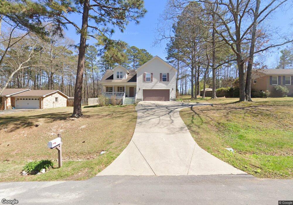
108 Forrest Ln Cedartown, GA 30125
Estimated Value: $266,000 - $332,000
3
Beds
2
Baths
1,876
Sq Ft
$152/Sq Ft
Est. Value
About This Home
This home is located at 108 Forrest Ln, Cedartown, GA 30125 and is currently estimated at $285,254, approximately $152 per square foot. 108 Forrest Ln is a home located in Polk County with nearby schools including Cedar Christian School and Vineyard Harvester Christian Academy.
Ownership History
Date
Name
Owned For
Owner Type
Purchase Details
Closed on
Jun 7, 2006
Sold by
The Dawson David Company L
Bought by
Funk Richard
Current Estimated Value
Purchase Details
Closed on
Mar 10, 2004
Sold by
Truitt Jeffrey E
Bought by
The Dawson David Company
Create a Home Valuation Report for This Property
The Home Valuation Report is an in-depth analysis detailing your home's value as well as a comparison with similar homes in the area
Purchase History
| Date | Buyer | Sale Price | Title Company |
|---|---|---|---|
| Funk Richard | $130,000 | -- | |
| The Dawson David Company | $12,500 | -- |
Source: Public Records
Tax History
| Year | Tax Paid | Tax Assessment Tax Assessment Total Assessment is a certain percentage of the fair market value that is determined by local assessors to be the total taxable value of land and additions on the property. | Land | Improvement |
|---|---|---|---|---|
| 2025 | $2,276 | $115,830 | $12,000 | $103,830 |
| 2024 | $2,114 | $115,830 | $12,000 | $103,830 |
| 2023 | $1,429 | $73,614 | $8,000 | $65,614 |
| 2022 | $1,087 | $59,192 | $3,200 | $55,992 |
| 2021 | $1,101 | $59,192 | $3,200 | $55,992 |
| 2020 | $1,103 | $59,192 | $3,200 | $55,992 |
| 2019 | $906 | $47,054 | $4,000 | $43,054 |
| 2018 | $808 | $42,678 | $2,816 | $39,862 |
| 2017 | $794 | $42,678 | $2,816 | $39,862 |
| 2016 | $769 | $41,766 | $2,816 | $38,950 |
| 2015 | $779 | $42,108 | $2,816 | $39,292 |
| 2014 | $1,130 | $43,113 | $2,643 | $40,470 |
Source: Public Records
Map
Nearby Homes
- 202 Ridgewood Rd
- 305 Greenview Ct
- 10 Woodglen Dr
- 618 Valley Rd
- 0 Coaling Rd Unit 9221-D 10352096
- 0 Coaling Rd Unit 9221-C 10352086
- 0 Coaling Rd Unit 9221 10352063
- 0 Coaling Rd Unit 9221-B 10352079
- 1101 East Ave
- 645 Valley Rd
- 00 Juliette St
- 0 Davenport St Unit 10690225
- 65 Oakwood Dr
- 109 Perry St
- 206 Turner St
- 427 Park St
- 77 Ben Dr W
- 117 Hicklen Dr
- 315 Jones St
- 254 E Girard Ave
- 106 Forrest Ln
- 110 Forrest Ln
- 104 Forrest Ln
- 402 Ridgewood Rd
- 403 Ridgewood Rd
- 112 Forrest Ln
- 107 Forrest Ln
- 111 Forrest Ln
- 401 Ridgewood Rd
- 400 Ridgewood Rd
- 101 Forrest Ln
- 123 Forrest Ln
- 19 Oak Knoll Rd
- 103 Forrest Ln
- 19 Oak Knoll Ln
- 115 Forrest Ln
- 116 Forrest Ln
- 193 Oak Knoll Ln
- 18 Oak Knoll Ln
- 305 Ridgewood Rd
Your Personal Tour Guide
Ask me questions while you tour the home.