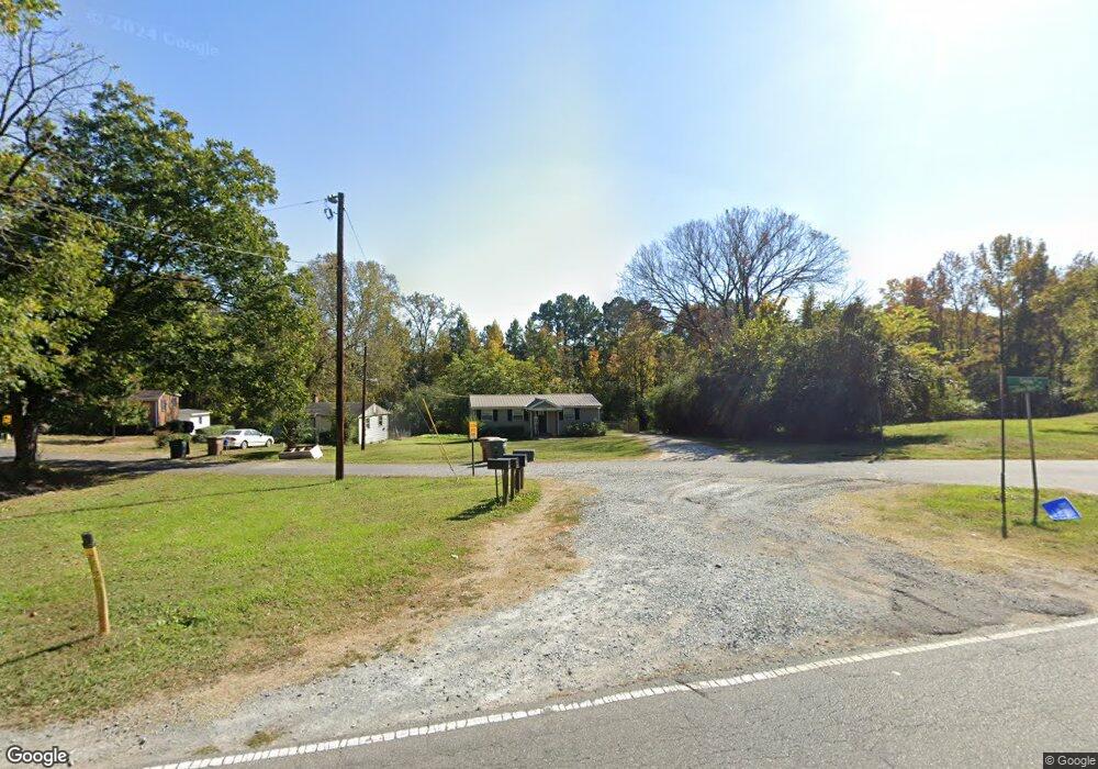
108 Howie Mine Rd Waxhaw, NC 28173
Estimated Value: $238,023 - $483,000
3
Beds
1
Bath
1,412
Sq Ft
$241/Sq Ft
Est. Value
About This Home
This home is located at 108 Howie Mine Rd, Waxhaw, NC 28173 and is currently estimated at $340,756, approximately $241 per square foot. 108 Howie Mine Rd is a home located in Union County with nearby schools including Waxhaw Elementary School, Parkwood Middle School, and Parkwood High School.
Ownership History
Date
Name
Owned For
Owner Type
Purchase Details
Closed on
Aug 16, 1999
Sold by
Truesdale Dora K and Truesdale Rickey L
Bought by
Truesdale Rickey L and Truesdale Dora K
Current Estimated Value
Home Financials for this Owner
Home Financials are based on the most recent Mortgage that was taken out on this home.
Original Mortgage
$78,200
Interest Rate
7.65%
Mortgage Type
Purchase Money Mortgage
Create a Home Valuation Report for This Property
The Home Valuation Report is an in-depth analysis detailing your home's value as well as a comparison with similar homes in the area
Home Values in the Area
Average Home Value in this Area
Purchase History
| Date | Buyer | Sale Price | Title Company |
|---|---|---|---|
| Truesdale Rickey L | -- | -- |
Source: Public Records
Mortgage History
| Date | Status | Borrower | Loan Amount |
|---|---|---|---|
| Closed | Truesdale Rickey L | $78,200 |
Source: Public Records
Tax History Compared to Growth
Tax History
| Year | Tax Paid | Tax Assessment Tax Assessment Total Assessment is a certain percentage of the fair market value that is determined by local assessors to be the total taxable value of land and additions on the property. | Land | Improvement |
|---|---|---|---|---|
| 2024 | $1,132 | $110,400 | $73,900 | $36,500 |
| 2023 | $1,120 | $110,400 | $73,900 | $36,500 |
| 2022 | $1,120 | $110,400 | $73,900 | $36,500 |
| 2021 | $1,119 | $110,400 | $73,900 | $36,500 |
| 2020 | $419 | $53,470 | $29,470 | $24,000 |
| 2019 | $626 | $53,470 | $29,470 | $24,000 |
| 2018 | $753 | $95,870 | $29,470 | $66,400 |
| 2017 | $1,134 | $95,900 | $29,500 | $66,400 |
| 2016 | $1,115 | $95,870 | $29,470 | $66,400 |
| 2015 | $781 | $95,870 | $29,470 | $66,400 |
| 2014 | $831 | $118,320 | $64,310 | $54,010 |
Source: Public Records
Map
Nearby Homes
- 8388 Waxhaw Hwy
- 8256 Waxhaw Hwy
- 639 Boxcar Bend
- 113 Dawn View Ln
- Duncan Plan at Old Town Village
- Wilson Plan at Old Town Village
- Price Plan at Old Town Village
- Hudson Plan at Old Town Village
- 403 Old Town Village Rd
- 309 Old Town Village Rd
- 412 Old Town Village Rd
- 416 Old Town Village Rd
- 432 Old Town Village Rd
- 317 Old Town Village Rd
- 451 Old Town Village Rd
- 6369 S Providence St
- 8215 N Carolina 75
- 305 Mckibben St
- TBD Blythe Mill Rd
- 3415 Waxhaw Indian Trail Rd S
- 615 Howie Mine Rd
- 104 Dunlap St
- 611 Howie Mine Rd
- 108 Dunlap St
- 00 Cureton St
- 627 Howie Mine Rd
- 612 Howie Mine Rd
- 629 Howie Mine Rd
- 616 Howie Mine Rd
- 116 Dunlap St
- 000 Dunlap St
- 120 Dunlap St
- 631 Howie Mine Rd
- 638 Howie Mine Rd
- 612 Price St
- 501 Howie Mine Rd
- 637 Howie Mine Rd
- 0000 Howie Mine Rd Unit 1
- 0000 Howie Mine Rd Unit 2
- 300, 302, 304 Pearl St