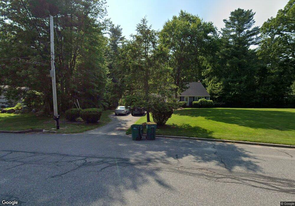
108 Kilsyth Rd South Easton, MA 02375
Estimated Value: $660,841 - $714,000
3
Beds
2
Baths
1,498
Sq Ft
$467/Sq Ft
Est. Value
About This Home
This home is located at 108 Kilsyth Rd, South Easton, MA 02375 and is currently estimated at $699,710, approximately $467 per square foot. 108 Kilsyth Rd is a home located in Bristol County with nearby schools including Easton Middle School and Oliver Ames High School.
Ownership History
Date
Name
Owned For
Owner Type
Purchase Details
Closed on
Feb 17, 2021
Sold by
Jackson Joey M and Jackson Nancy G
Bought by
Jackson Ft 2021 and Jackson
Current Estimated Value
Purchase Details
Closed on
Jan 16, 2003
Sold by
Marchicelli Alessandro and Marchicelli Sheryl
Bought by
Jackson Joey M and Jackson Nancy G
Home Financials for this Owner
Home Financials are based on the most recent Mortgage that was taken out on this home.
Original Mortgage
$103,000
Interest Rate
6.18%
Mortgage Type
Purchase Money Mortgage
Purchase Details
Closed on
Jul 21, 1997
Sold by
Zimble Barry and Zimble Leslie L
Bought by
Marchicelli Alessandro and Marchicelli Sheryl
Purchase Details
Closed on
Mar 31, 1994
Sold by
Mcmahon Timothy and Mcmahon Carla J
Bought by
Zimble Barry H and Zimble Leslie L
Create a Home Valuation Report for This Property
The Home Valuation Report is an in-depth analysis detailing your home's value as well as a comparison with similar homes in the area
Home Values in the Area
Average Home Value in this Area
Purchase History
| Date | Buyer | Sale Price | Title Company |
|---|---|---|---|
| Jackson Ft 2021 | -- | None Available | |
| Jackson Ft 2021 | -- | None Available | |
| Jackson Joey M | $345,000 | -- | |
| Jackson Joey M | $345,000 | -- | |
| Marchicelli Alessandro | $203,000 | -- | |
| Marchicelli Alessandro | $203,000 | -- | |
| Zimble Barry H | $183,900 | -- | |
| Zimble Barry H | $183,900 | -- |
Source: Public Records
Mortgage History
| Date | Status | Borrower | Loan Amount |
|---|---|---|---|
| Previous Owner | Jackson Joey M | $103,000 | |
| Previous Owner | Zimble Barry H | $80,000 |
Source: Public Records
Tax History Compared to Growth
Tax History
| Year | Tax Paid | Tax Assessment Tax Assessment Total Assessment is a certain percentage of the fair market value that is determined by local assessors to be the total taxable value of land and additions on the property. | Land | Improvement |
|---|---|---|---|---|
| 2025 | $6,899 | $552,800 | $361,700 | $191,100 |
| 2024 | $6,630 | $496,600 | $306,200 | $190,400 |
| 2023 | $6,742 | $462,100 | $306,200 | $155,900 |
| 2022 | $6,441 | $418,500 | $266,800 | $151,700 |
| 2021 | $6,265 | $404,700 | $253,000 | $151,700 |
| 2020 | $5,989 | $389,400 | $243,300 | $146,100 |
| 2019 | $5,770 | $361,500 | $226,200 | $135,300 |
| 2018 | $5,649 | $353,000 | $226,200 | $126,800 |
| 2017 | $5,468 | $337,100 | $226,200 | $110,900 |
| 2016 | $5,339 | $329,800 | $226,200 | $103,600 |
| 2015 | $4,943 | $294,600 | $192,300 | $102,300 |
| 2014 | $4,833 | $290,300 | $186,700 | $103,600 |
Source: Public Records
Map
Nearby Homes
- 9 Oak Ridge Dr
- 73 Summer St
- 79 Summer St
- 15 Randall Farm Dr
- 45 Randall St
- 16 Goodspeed Ln Unit Lot 4
- 1 Newell Cir
- 366 Center St
- 37 Kingsley Rd
- 30 King Arthur Rd
- 7 Rachael Cir
- 10 Matthew Cir
- 6 Kingsley Rd
- 32 Spooner St
- 26 Short St
- 27 Short St
- 17 Gaslight Ln
- 21 Scotch Dam Rd
- 531 Foundry St Unit E
- 531 Foundry St Unit D
- 108 Black Brook Rd
- 104 Kilsyth Rd
- 98 Black Brook Rd
- 105 Black Brook Rd
- 100 Kilsyth Rd
- 114 Black Brook Rd
- 109 Black Brook Rd
- 101 Black Brook Rd
- 92 Black Brook Rd
- 113 Black Brook Rd
- 95 Black Brook Rd
- 96 Kilsyth Rd
- 120 Black Brook Rd
- 88 Black Brook Rd
- 92 Kilsyth Rd
- 87 Black Brook Rd
- 93 Kilsyth Rd
- 121 Black Brook Rd
- 84 Black Brook Rd
- 124 Black Brook Rd