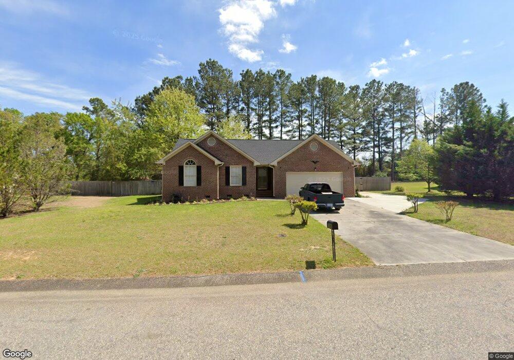
108 Little Rock Dr Raeford, NC 28376
Rockfish NeighborhoodEstimated Value: $222,297 - $258,000
--
Bed
2
Baths
1,334
Sq Ft
$181/Sq Ft
Est. Value
About This Home
This home is located at 108 Little Rock Dr, Raeford, NC 28376 and is currently estimated at $241,074, approximately $180 per square foot. 108 Little Rock Dr is a home located in Hoke County with nearby schools including Rockfish Hoke Elementary School, Sandy Grove Middle School, and Hoke County High.
Ownership History
Date
Name
Owned For
Owner Type
Purchase Details
Closed on
May 16, 2017
Sold by
Runger Suzanne M and Guenther Steve E
Bought by
Bross Alvin E
Current Estimated Value
Home Financials for this Owner
Home Financials are based on the most recent Mortgage that was taken out on this home.
Original Mortgage
$131,081
Outstanding Balance
$107,947
Interest Rate
3.75%
Mortgage Type
FHA
Estimated Equity
$133,127
Create a Home Valuation Report for This Property
The Home Valuation Report is an in-depth analysis detailing your home's value as well as a comparison with similar homes in the area
Home Values in the Area
Average Home Value in this Area
Purchase History
| Date | Buyer | Sale Price | Title Company |
|---|---|---|---|
| Bross Alvin E | $133,500 | None Available |
Source: Public Records
Mortgage History
| Date | Status | Borrower | Loan Amount |
|---|---|---|---|
| Open | Bross Alvin E | $131,081 |
Source: Public Records
Tax History Compared to Growth
Tax History
| Year | Tax Paid | Tax Assessment Tax Assessment Total Assessment is a certain percentage of the fair market value that is determined by local assessors to be the total taxable value of land and additions on the property. | Land | Improvement |
|---|---|---|---|---|
| 2024 | $1,508 | $168,010 | $35,000 | $133,010 |
| 2023 | $1,508 | $168,010 | $35,000 | $133,010 |
| 2022 | $1,480 | $168,010 | $35,000 | $133,010 |
| 2021 | $1,309 | $143,200 | $25,000 | $118,200 |
| 2020 | $1,331 | $143,200 | $25,000 | $118,200 |
| 2019 | $1,331 | $143,200 | $25,000 | $118,200 |
| 2018 | $1,331 | $143,200 | $25,000 | $118,200 |
| 2017 | $729 | $143,200 | $25,000 | $118,200 |
| 2016 | $717 | $143,200 | $25,000 | $118,200 |
| 2015 | $717 | $143,200 | $25,000 | $118,200 |
| 2014 | $697 | $143,200 | $25,000 | $118,200 |
| 2013 | -- | $127,840 | $22,000 | $105,840 |
Source: Public Records
Map
Nearby Homes
- 515 Gillis Hill Rd
- 2530 Adkins Hill Dr
- 175 Eulon Loop
- 7716 Dundennon Dr
- 325 Barefoot Rd
- 106 Chickadee St
- 209 Meadow Sage (Lot 124) St
- 231 Meadow Sage (Lot 126) St
- 221 St
- 390 Walter Dr
- 207 Whitechapel Ln
- 213 Sand Rock Rd
- 117 Purple Martin Place
- 152 Meadow Sage (Lot 112) St
- 112 Purple Martin Place
- 138 Meadow Sage (Lot 113) Dr
- 106 Little Rock Dr
- 110 Little Rock Dr
- 109 Little Rock Dr
- 111 Little Rock Dr
- 107 Steeple Run Dr
- 107 Little Rock Dr
- 104 Little Rock Dr
- 2851 Lindsay Rd
- 193 Gillis Hill Rd
- 201 Steeple
- 201 Steeple Run Dr
- 103 Little Rock Dr
- 107 Deer Lodge Ct
- 203 Steeple Run Dr
- 103 Steeple Run Dr
- 106 Steeple Run Dr
- 105 Deer Lodge Ct
- 473 Gillis Hill Rd
- 455 Gillis Hill Rd
- 109 Deer Lodge Ct