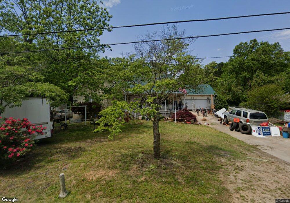
108 Mears St Winder, GA 30680
Estimated Value: $333,630 - $362,000
--
Bed
2
Baths
2,197
Sq Ft
$161/Sq Ft
Est. Value
About This Home
This home is located at 108 Mears St, Winder, GA 30680 and is currently estimated at $352,658, approximately $160 per square foot. 108 Mears St is a home located in Barrow County with nearby schools including County Line Elementary School, Russell Middle School, and Winder-Barrow High School.
Ownership History
Date
Name
Owned For
Owner Type
Purchase Details
Closed on
Jan 25, 2006
Sold by
Jost Delores Diane A
Bought by
Jost Delores Diane
Current Estimated Value
Home Financials for this Owner
Home Financials are based on the most recent Mortgage that was taken out on this home.
Original Mortgage
$112,000
Outstanding Balance
$62,827
Interest Rate
6.14%
Mortgage Type
Stand Alone Second
Estimated Equity
$289,831
Purchase Details
Closed on
Aug 23, 2000
Sold by
Blessingt Janice B
Bought by
Jost Diana B
Home Financials for this Owner
Home Financials are based on the most recent Mortgage that was taken out on this home.
Original Mortgage
$50,000
Interest Rate
8.11%
Mortgage Type
New Conventional
Purchase Details
Closed on
Sep 13, 1996
Sold by
Beckum J N
Bought by
Beckum Mary Lucy
Create a Home Valuation Report for This Property
The Home Valuation Report is an in-depth analysis detailing your home's value as well as a comparison with similar homes in the area
Home Values in the Area
Average Home Value in this Area
Purchase History
| Date | Buyer | Sale Price | Title Company |
|---|---|---|---|
| Jost Delores Diane | -- | -- | |
| Jost Diana B | -- | -- | |
| Beckum Mary Lucy | -- | -- |
Source: Public Records
Mortgage History
| Date | Status | Borrower | Loan Amount |
|---|---|---|---|
| Open | Jost Delores Diane | $112,000 | |
| Previous Owner | Jost Diana B | $50,000 |
Source: Public Records
Tax History Compared to Growth
Tax History
| Year | Tax Paid | Tax Assessment Tax Assessment Total Assessment is a certain percentage of the fair market value that is determined by local assessors to be the total taxable value of land and additions on the property. | Land | Improvement |
|---|---|---|---|---|
| 2024 | $2,440 | $97,808 | $14,800 | $83,008 |
| 2023 | $2,429 | $97,808 | $14,800 | $83,008 |
| 2022 | $2,472 | $85,689 | $14,800 | $70,889 |
| 2021 | $2,300 | $76,055 | $10,000 | $66,055 |
| 2020 | $1,886 | $61,971 | $8,000 | $53,971 |
| 2019 | $1,750 | $55,537 | $6,400 | $49,137 |
| 2018 | $1,729 | $55,537 | $6,400 | $49,137 |
| 2017 | $1,394 | $47,881 | $6,400 | $41,481 |
| 2016 | $395 | $46,291 | $6,400 | $39,891 |
| 2015 | $373 | $46,291 | $6,400 | $39,891 |
| 2014 | $923 | $44,726 | $4,390 | $40,336 |
| 2013 | -- | $42,210 | $4,390 | $37,820 |
Source: Public Records
Map
Nearby Homes
- 110 Mears St
- 221 Highway 211 NW
- 128 Mcneal Rd
- 244 Bayou Ln Unit 1
- 121 Cannondale Dr
- 108 Cannondale Dr
- 98 Cannondale Dr
- 24 Caison Dr
- 0 Bill Rutledge Rd Unit 10591503
- 0 Bill Rutledge Rd Unit 7630436
- 72 Garrison Dr
- The Cary A Plan at Lake Shore
- The Marion A Plan at Lake Shore
- 66 Garrison Dr
- 62 Garrison Dr
- 49 Cannondale Dr
- 16 Garrison Dr
- 281 Springdale Dr
- 74 Cannon Trace Dr