108 Memory Ln Stevensville, MT 59870
Stevensville NeighborhoodEstimated Value: $479,000 - $569,000
3
Beds
2
Baths
1,404
Sq Ft
$370/Sq Ft
Est. Value
About This Home
This home is located at 108 Memory Ln, Stevensville, MT 59870 and is currently estimated at $519,388, approximately $369 per square foot. 108 Memory Ln is a home located in Ravalli County with nearby schools including Stevensville Elementary School, Stevensville Junior High School, and Stevensville High School.
Ownership History
Date
Name
Owned For
Owner Type
Purchase Details
Closed on
Aug 2, 2024
Sold by
Mullin Margaret W and Mullin Margaret M
Bought by
Mullin Don S and Mullin Margaret M
Current Estimated Value
Purchase Details
Closed on
Jan 10, 2022
Sold by
Mason Ii William T
Bought by
Mullin Margaret W
Purchase Details
Closed on
Oct 11, 2021
Sold by
Mason Iii William T
Bought by
Mullin Margaret W
Purchase Details
Closed on
Dec 23, 2002
Bought by
Mason William T and Mason William
Create a Home Valuation Report for This Property
The Home Valuation Report is an in-depth analysis detailing your home's value as well as a comparison with similar homes in the area
Home Values in the Area
Average Home Value in this Area
Purchase History
| Date | Buyer | Sale Price | Title Company |
|---|---|---|---|
| Mullin Don S | -- | None Listed On Document | |
| Mullin Margaret W | -- | None Listed On Document | |
| Mullin Margaret W | -- | None Listed On Document | |
| Mason William T | -- | -- |
Source: Public Records
Tax History
| Year | Tax Paid | Tax Assessment Tax Assessment Total Assessment is a certain percentage of the fair market value that is determined by local assessors to be the total taxable value of land and additions on the property. | Land | Improvement |
|---|---|---|---|---|
| 2025 | $1,707 | $495,000 | $0 | $0 |
| 2024 | $2,169 | $387,700 | $0 | $0 |
| 2023 | $2,692 | $387,700 | $0 | $0 |
| 2022 | $2,015 | $289,600 | $0 | $0 |
| 2021 | $2,186 | $289,600 | $0 | $0 |
| 2020 | $2,067 | $262,400 | $0 | $0 |
| 2019 | $2,048 | $262,400 | $0 | $0 |
| 2018 | $1,750 | $234,000 | $0 | $0 |
| 2017 | $1,640 | $234,000 | $0 | $0 |
| 2016 | $1,642 | $223,300 | $0 | $0 |
| 2015 | $1,648 | $223,300 | $0 | $0 |
| 2014 | $1,637 | $132,394 | $0 | $0 |
Source: Public Records
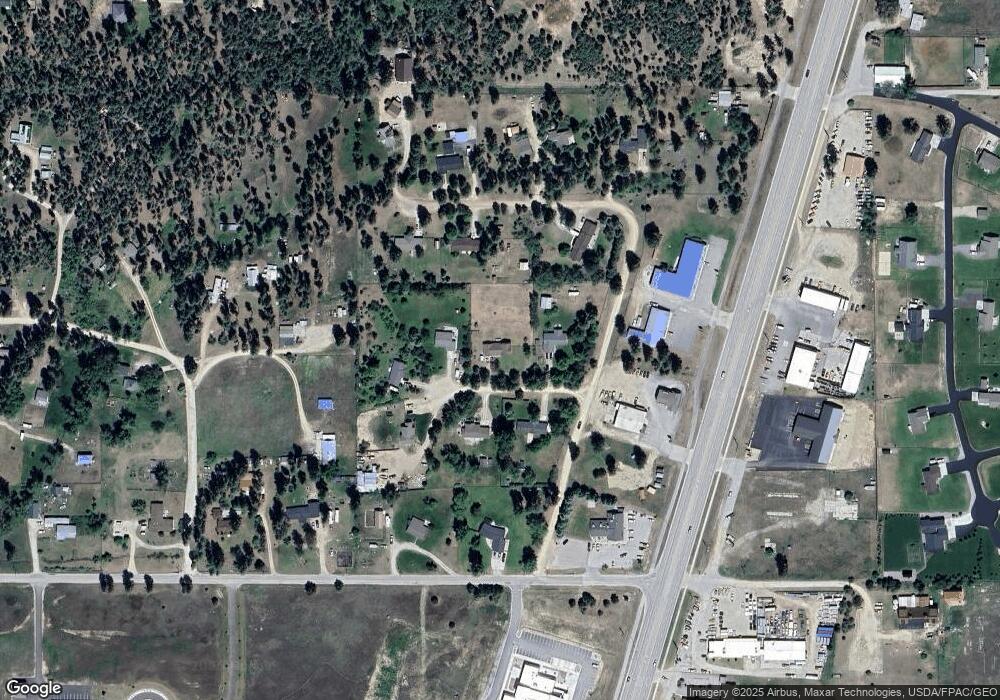
Map
Nearby Homes
- 160 Kootenai Creek Rd
- 37 Canyon Breeze Ct
- Lot A2 US Highway 93 N
- 38 Blackhawk Ln
- 42 Clubhouse Way
- 1187 Heritage Dr
- 1156 Heritage Dr
- 15 Success Ct
- 26 Success Ct
- 314 and 308 Kootenai Creek Rd
- 234 Bridle Trail
- 440 Sharrott Hill Loop Unit lot 5
- 204 and 206 Mission St
- 214 Mission St
- 211 Buck St
- NHN Red Fox
- 558 Timber Trail
- 411 Church St
- 515 Mission St
- 404 Pine St
- 114 Memory Ln
- 102 Memory Ln
- 153 Brook Ln
- 118 Memory Ln
- 105 Memory Ln
- 111 Memory Ln
- 145 Brook Ln
- 163 Brook Ln
- 4037 Us Highway 93 N
- 4027 U S 93
- 4027 Us Highway 93 N
- 156 Brook Ln
- 119 Memory Ln
- 4039 Mt Hwy 93 Unit B
- 146 Brook Ln
- 4039 Us Highway 93 N
- 4039 Us Highway 93 N Unit D
- 4039 Us Highway 93 N
- 141 Only Way
- 126 Only Way
Your Personal Tour Guide
Ask me questions while you tour the home.