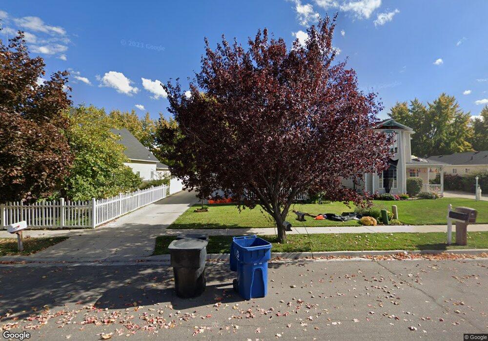
108 N 920 W Spanish Fork, UT 84660
Estimated Value: $415,000 - $436,000
4
Beds
2
Baths
1,410
Sq Ft
$300/Sq Ft
Est. Value
About This Home
This home is located at 108 N 920 W, Spanish Fork, UT 84660 and is currently estimated at $422,581, approximately $299 per square foot. 108 N 920 W is a home located in Utah County with nearby schools including Brockbank Elementary School, Spanish Fork Jr High School, and Spanish Fork High School.
Ownership History
Date
Name
Owned For
Owner Type
Purchase Details
Closed on
Jul 21, 2017
Sold by
Darche Wesley
Bought by
Hardwick Scotty and Hardwick Christie
Current Estimated Value
Home Financials for this Owner
Home Financials are based on the most recent Mortgage that was taken out on this home.
Original Mortgage
$211,105
Outstanding Balance
$177,101
Interest Rate
4.25%
Mortgage Type
FHA
Estimated Equity
$245,480
Purchase Details
Closed on
Jan 22, 2015
Sold by
Astle Lance D and Astle Ann Linford Clark
Bought by
Darche Wesley
Home Financials for this Owner
Home Financials are based on the most recent Mortgage that was taken out on this home.
Original Mortgage
$148,005
Interest Rate
3.76%
Purchase Details
Closed on
Mar 5, 2014
Sold by
Astle Lance D
Bought by
Astle Lance D and Astle Ann Linford Clark
Home Financials for this Owner
Home Financials are based on the most recent Mortgage that was taken out on this home.
Original Mortgage
$117,300
Interest Rate
4.34%
Purchase Details
Closed on
Mar 4, 2014
Sold by
Bailey Karlyn
Bought by
Astle Lance D
Home Financials for this Owner
Home Financials are based on the most recent Mortgage that was taken out on this home.
Original Mortgage
$117,300
Interest Rate
4.34%
Purchase Details
Closed on
Aug 8, 2000
Sold by
Penrod Brett and Penrod Doraleen
Bought by
Moreno Carolina
Home Financials for this Owner
Home Financials are based on the most recent Mortgage that was taken out on this home.
Original Mortgage
$117,035
Interest Rate
8.19%
Purchase Details
Closed on
Dec 30, 1996
Sold by
Penrod Brett
Bought by
Penrod Brett and Penrod Doraleen
Home Financials for this Owner
Home Financials are based on the most recent Mortgage that was taken out on this home.
Original Mortgage
$54,000
Interest Rate
7.59%
Purchase Details
Closed on
Dec 3, 1996
Sold by
Penrod Brett
Bought by
Penrod Brett
Home Financials for this Owner
Home Financials are based on the most recent Mortgage that was taken out on this home.
Original Mortgage
$54,000
Interest Rate
7.59%
Create a Home Valuation Report for This Property
The Home Valuation Report is an in-depth analysis detailing your home's value as well as a comparison with similar homes in the area
Home Values in the Area
Average Home Value in this Area
Purchase History
| Date | Buyer | Sale Price | Title Company |
|---|---|---|---|
| Hardwick Scotty | -- | Provo Land Title Co | |
| Darche Wesley | -- | Wasatch Land & Title | |
| Astle Lance D | -- | Wasatch Land & Title | |
| Astle Lance D | -- | Wasatch Land & Title | |
| Moreno Carolina | -- | Provo Land Title Company | |
| Penrod Brett | -- | Provo Land Title | |
| Penrod Brett | -- | -- |
Source: Public Records
Mortgage History
| Date | Status | Borrower | Loan Amount |
|---|---|---|---|
| Open | Hardwick Scotty | $211,105 | |
| Previous Owner | Darche Wesley | $148,005 | |
| Previous Owner | Astle Lance D | $117,300 | |
| Previous Owner | Moreno Carolina | $117,035 | |
| Previous Owner | Penrod Brett | $54,000 | |
| Previous Owner | Penrod Brett | $51,000 |
Source: Public Records
Tax History Compared to Growth
Tax History
| Year | Tax Paid | Tax Assessment Tax Assessment Total Assessment is a certain percentage of the fair market value that is determined by local assessors to be the total taxable value of land and additions on the property. | Land | Improvement |
|---|---|---|---|---|
| 2025 | $1,830 | $203,445 | $141,900 | $228,000 |
| 2024 | $1,830 | $188,595 | $0 | $0 |
| 2023 | $1,858 | $191,675 | $0 | $0 |
| 2022 | $1,797 | $181,830 | $0 | $0 |
| 2021 | $1,535 | $248,500 | $84,700 | $163,800 |
| 2020 | $1,453 | $228,700 | $77,000 | $151,700 |
| 2019 | $1,345 | $222,700 | $71,000 | $151,700 |
| 2018 | $1,222 | $195,600 | $63,700 | $131,900 |
| 2017 | $1,150 | $98,945 | $0 | $0 |
| 2016 | $1,010 | $85,745 | $0 | $0 |
| 2015 | $848 | $71,115 | $0 | $0 |
| 2014 | $817 | $68,805 | $0 | $0 |
Source: Public Records
Map
Nearby Homes
- 956 W 40 N
- 1040 W Center St
- 226 N 860 W Unit 156
- 833 W 250 N
- 13 N 710 W
- 903 W 100 S
- 231 S 880 W
- 1788 N 630 St W Unit 47
- 1826 N 630 St W Unit 101
- 1841 N 630 St W Unit 71
- 1026 W 350 S
- 333 S 1170 W
- 88 S 400 W
- 1299 W 250 S
- 2645 W 360 S Unit 1
- 2576 W 360 S Unit 5
- 501 S 880 W
- 6550 S 1050 W
- 429 S 1280 W
- 393 N 400 W