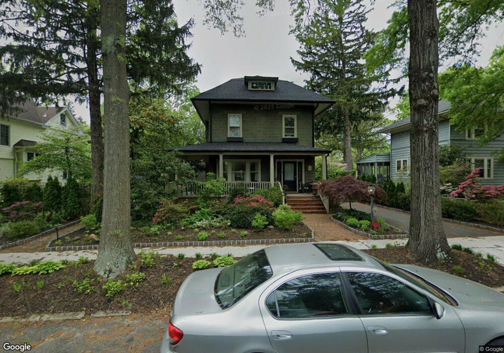
108 N Monroe Ave Wenonah, NJ 08090
Estimated Value: $475,328 - $538,000
--
Bed
--
Bath
2,423
Sq Ft
$206/Sq Ft
Est. Value
About This Home
This home is located at 108 N Monroe Ave, Wenonah, NJ 08090 and is currently estimated at $500,082, approximately $206 per square foot. 108 N Monroe Ave is a home located in Gloucester County with nearby schools including Wenonah Elementary School and Gateway Regional High School.
Ownership History
Date
Name
Owned For
Owner Type
Purchase Details
Closed on
Sep 20, 2000
Sold by
Burdsall Anne M
Bought by
Coates David J and Coates Raquel
Current Estimated Value
Home Financials for this Owner
Home Financials are based on the most recent Mortgage that was taken out on this home.
Original Mortgage
$133,650
Outstanding Balance
$48,365
Interest Rate
8%
Estimated Equity
$451,717
Create a Home Valuation Report for This Property
The Home Valuation Report is an in-depth analysis detailing your home's value as well as a comparison with similar homes in the area
Home Values in the Area
Average Home Value in this Area
Purchase History
| Date | Buyer | Sale Price | Title Company |
|---|---|---|---|
| Coates David J | $148,500 | Continental Title Abstract C |
Source: Public Records
Mortgage History
| Date | Status | Borrower | Loan Amount |
|---|---|---|---|
| Open | Coates David J | $133,650 |
Source: Public Records
Tax History Compared to Growth
Tax History
| Year | Tax Paid | Tax Assessment Tax Assessment Total Assessment is a certain percentage of the fair market value that is determined by local assessors to be the total taxable value of land and additions on the property. | Land | Improvement |
|---|---|---|---|---|
| 2025 | $10,879 | $245,300 | $85,600 | $159,700 |
| 2024 | $10,185 | $245,300 | $85,600 | $159,700 |
| 2023 | $10,185 | $241,400 | $85,600 | $155,800 |
| 2022 | $10,112 | $241,400 | $85,600 | $155,800 |
| 2021 | $10,209 | $241,400 | $85,600 | $155,800 |
| 2020 | $10,170 | $241,400 | $85,600 | $155,800 |
| 2019 | $10,006 | $241,400 | $85,600 | $155,800 |
| 2018 | $9,835 | $241,400 | $85,600 | $155,800 |
| 2017 | $9,835 | $241,400 | $85,600 | $155,800 |
| 2016 | $9,625 | $241,400 | $85,600 | $155,800 |
| 2015 | $9,419 | $241,400 | $85,600 | $155,800 |
| 2014 | $9,983 | $298,000 | $99,800 | $198,200 |
Source: Public Records
Map
Nearby Homes
- 8 W Buttonwood St
- 1 W Buttonwood St
- 3 E Mantua Ave
- 206 E Elm St
- 505 W Mantua Ave
- 108 S Clinton Ave
- 711 Howard Ave
- 315 Ogden Station Rd
- 313 Ogden Station Rd
- 100 Buddy Powell Ln
- 114 Buddy Powell Ln
- 47 New Jersey Ave
- 916 Georgetown Rd
- 748 Dartmouth Dr
- 7 Manchester Ct
- 103 Carver Dr
- 413 Eryn Rd
- 125 Ivy Ln
- 509 Mantua Blvd
- 525 Westminster Rd
- 110 N Monroe Ave
- 106 N Monroe Ave
- 109 N Jefferson Ave
- 104 N Monroe Ave
- 111 N Jefferson Ave
- 107 N Jefferson Ave
- 105 N Jefferson Ave
- 111 N Monroe Ave
- 102 N Monroe Ave
- 107 N Monroe Ave
- 103 W Elm St
- 101 W Elm St
- 105 N Monroe Ave
- 201 N Jefferson Ave
- 103 N Jefferson Ave
- 100 N Monroe Ave
- 7 W Elm St
- 103 N Monroe Ave
- 203 N Jefferson Ave
- 101 N Jefferson Ave