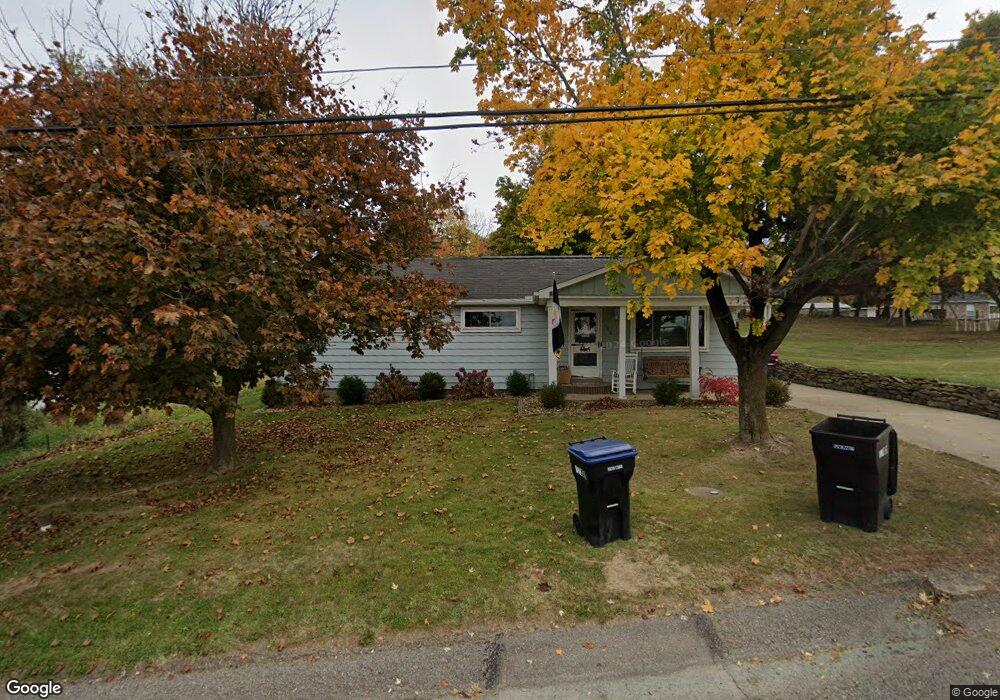
108 Pear Orchard Rd Coraopolis, PA 15108
Estimated Value: $201,000 - $236,654
3
Beds
2
Baths
1,174
Sq Ft
$190/Sq Ft
Est. Value
About This Home
This home is located at 108 Pear Orchard Rd, Coraopolis, PA 15108 and is currently estimated at $222,664, approximately $189 per square foot. 108 Pear Orchard Rd is a home located in Allegheny County with nearby schools including Moon Area High School, Montessori Children's Community, and St James Elementary School.
Ownership History
Date
Name
Owned For
Owner Type
Purchase Details
Closed on
Jul 23, 2015
Sold by
Sturm Cecil C
Bought by
Meli Dennis and Meli Wendy R
Current Estimated Value
Home Financials for this Owner
Home Financials are based on the most recent Mortgage that was taken out on this home.
Original Mortgage
$85,000
Outstanding Balance
$66,532
Interest Rate
3.97%
Mortgage Type
New Conventional
Estimated Equity
$156,132
Purchase Details
Closed on
Mar 16, 1957
Bought by
Sturm Dale Ray and Cecil Clovis
Create a Home Valuation Report for This Property
The Home Valuation Report is an in-depth analysis detailing your home's value as well as a comparison with similar homes in the area
Home Values in the Area
Average Home Value in this Area
Purchase History
| Date | Buyer | Sale Price | Title Company |
|---|---|---|---|
| Meli Dennis | -- | -- | |
| Sturm Dale Ray | -- | -- |
Source: Public Records
Mortgage History
| Date | Status | Borrower | Loan Amount |
|---|---|---|---|
| Open | Meli Dennis | $85,000 |
Source: Public Records
Tax History Compared to Growth
Tax History
| Year | Tax Paid | Tax Assessment Tax Assessment Total Assessment is a certain percentage of the fair market value that is determined by local assessors to be the total taxable value of land and additions on the property. | Land | Improvement |
|---|---|---|---|---|
| 2025 | $2,619 | $83,800 | $33,900 | $49,900 |
| 2024 | $2,619 | $83,800 | $33,900 | $49,900 |
| 2023 | $2,526 | $83,800 | $33,900 | $49,900 |
| 2022 | $2,526 | $83,800 | $33,900 | $49,900 |
| 2021 | $2,824 | $83,800 | $33,900 | $49,900 |
| 2020 | $2,463 | $83,800 | $33,900 | $49,900 |
| 2019 | $2,396 | $83,800 | $33,900 | $49,900 |
| 2018 | $396 | $83,800 | $33,900 | $49,900 |
| 2017 | $2,265 | $83,800 | $33,900 | $49,900 |
| 2016 | $396 | $83,800 | $33,900 | $49,900 |
| 2015 | $396 | $83,800 | $33,900 | $49,900 |
| 2014 | $2,206 | $83,800 | $33,900 | $49,900 |
Source: Public Records
Map
Nearby Homes
- 135 Pear Orchard Rd
- 203 Ascot Ct
- 204 Ascot Ct
- 209 Lockheed Dr
- 174 Lockheed Dr
- 176 Lockheed Dr
- 178 Lockheed Dr
- 179 Lockheed Dr
- 182 Lockheed Dr
- 506 Isabella Ct
- 511 Isabella Ct
- 162 Foxwood Rd
- 191 Rosemont Dr
- 115 Elm Ln
- 134 Becks Run Rd
- 221 Springer Dr
- 326 College Park Dr Unit 41
- 1112 Forest Green Dr
- 1333 Forest Green Dr Unit 1333
- 824 Balmoral Ct
- 110 Pear Orchard Rd
- 398 Moon Clinton Rd
- 394 Moon Clinton Rd
- 392 Moon Clinton Rd
- 402 Moon Clinton Rd
- 114 Pear Orchard Rd
- 390 Moon Clinton Rd
- 111 Pear Orchard Rd
- 397 Moon Clinton Rd
- 115 Pear Orchard Rd
- 393 Moon Clinton Rd
- 401 Moon Clinton Rd Unit 15
- 401 Moon Clinton Rd
- 0 Moon Clinton Rd
- 380 Moon Clinton Rd
- 1104 Stevenson Mill Rd
- 119 Pear Orchard Rd
- 378 Moon Clinton Rd
- 1100 Stevenson Mill Rd Unit 3
- 426 Moon Clinton Rd