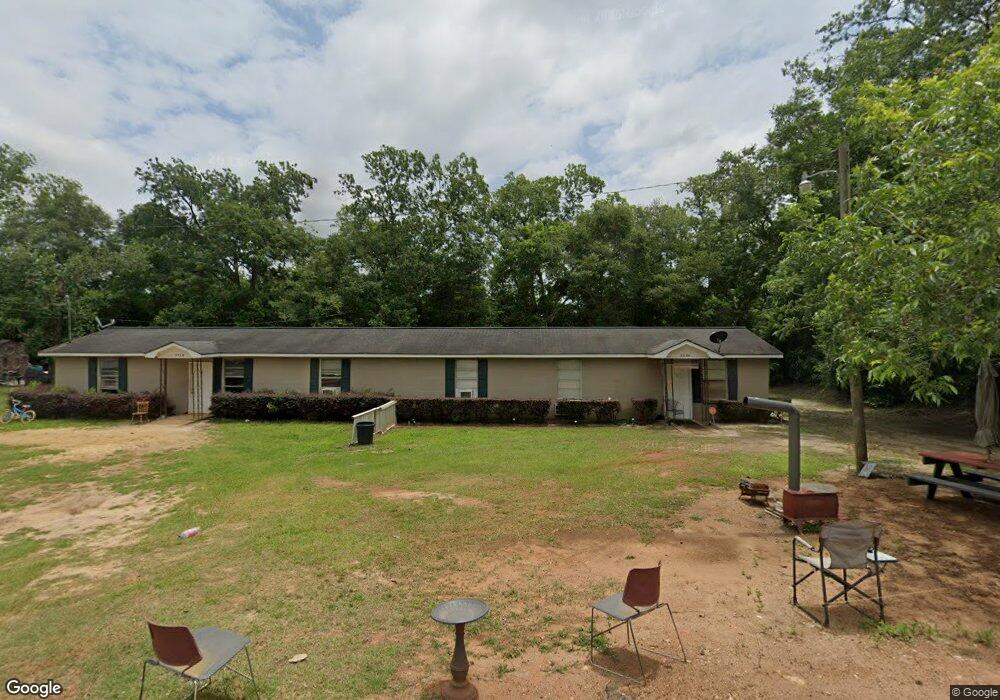
108 Pecan St Bronwood, GA 39826
Estimated Value: $82,348 - $138,000
4
Beds
2
Baths
1,860
Sq Ft
$60/Sq Ft
Est. Value
About This Home
This home is located at 108 Pecan St, Bronwood, GA 39826 and is currently estimated at $111,337, approximately $59 per square foot. 108 Pecan St is a home with nearby schools including Cooper-Carver Elementary School, Terrell Middle School, and Terrell High School.
Ownership History
Date
Name
Owned For
Owner Type
Purchase Details
Closed on
Mar 10, 2023
Sold by
Jsps Properties Llc
Bought by
Seymour Southern Properties Llc
Current Estimated Value
Purchase Details
Closed on
May 14, 2008
Sold by
Mitchell Cornelius
Bought by
Seymour Jerry F
Home Financials for this Owner
Home Financials are based on the most recent Mortgage that was taken out on this home.
Original Mortgage
$60,150
Interest Rate
5.86%
Mortgage Type
New Conventional
Create a Home Valuation Report for This Property
The Home Valuation Report is an in-depth analysis detailing your home's value as well as a comparison with similar homes in the area
Home Values in the Area
Average Home Value in this Area
Purchase History
| Date | Buyer | Sale Price | Title Company |
|---|---|---|---|
| Seymour Southern Properties Llc | $633,267 | -- | |
| Seymour Jerry F | $60,000 | -- |
Source: Public Records
Mortgage History
| Date | Status | Borrower | Loan Amount |
|---|---|---|---|
| Previous Owner | Seymour Jerry F | $60,150 |
Source: Public Records
Tax History Compared to Growth
Tax History
| Year | Tax Paid | Tax Assessment Tax Assessment Total Assessment is a certain percentage of the fair market value that is determined by local assessors to be the total taxable value of land and additions on the property. | Land | Improvement |
|---|---|---|---|---|
| 2024 | $897 | $23,005 | $3,600 | $19,405 |
| 2023 | $897 | $23,005 | $3,600 | $19,405 |
| 2022 | $713 | $23,005 | $3,600 | $19,405 |
| 2021 | $713 | $23,005 | $3,600 | $19,405 |
| 2020 | $713 | $23,005 | $3,600 | $19,405 |
| 2019 | $690 | $23,005 | $3,600 | $19,405 |
| 2018 | $699 | $23,308 | $3,600 | $19,708 |
| 2017 | $885 | $23,308 | $3,600 | $19,708 |
| 2016 | $817 | $23,308 | $3,600 | $19,708 |
| 2015 | -- | $27,249 | $3,600 | $23,650 |
| 2014 | -- | $27,250 | $3,600 | $23,650 |
| 2013 | -- | $31,680 | $3,600 | $28,080 |
Source: Public Records
Map
Nearby Homes
- 219 Main St E
- 150 Thornton St NE
- 1075 Cox Rd
- 1071 Cox Rd
- 3947 Americus Hwy
- 978 Lovers Ln
- 448 Henry Mitchell Dr NE
- 1264 Ball Park Ave NE
- 1256 Ball Park Ave NE
- 1239 Askew Dr NE
- 0 Cooper Dr NE Unit 7597500
- 0 Cooper Dr NE Unit 10543060
- 828 Cooper Dr NE
- 1240 Askew Dr NE
- 1258 Askew Dr NE
- 434 Foster Ave
- 904 Ash St NE
- 513 College St NE
- 0 Elladale Dr SE Unit 18754943
- 1460 Georgia Ave SE
- 101 Pecan St NE
- 115 Pecan St
- 121 Pecan St
- 112 Pecan St
- 127 Pecan St
- 115 Mariellen St
- 127 Mariellen St
- 197 Johnson St
- 181 N Johnson St
- 237 Johnson St
- 220 Johnson St
- 158 Geise St S
- 151 N Johnson St
- 204 Johnson St
- 150 Geise St S
- 141 N Johnson St
- 2097 George Jennings Rd
- 281 Johnson St
- 272 N Johnson St
- 487 Pleasant Hill Rd