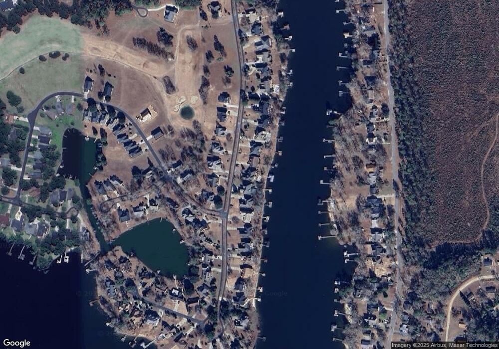
108 Plantation Dr Lt27a Manning, SC 29102
Estimated Value: $736,000 - $1,115,000
--
Bed
--
Bath
3,847
Sq Ft
$242/Sq Ft
Est. Value
About This Home
This home is located at 108 Plantation Dr Lt27a, Manning, SC 29102 and is currently estimated at $930,371, approximately $241 per square foot. 108 Plantation Dr Lt27a is a home located in Clarendon County with nearby schools including Manning Early Childhood Center, Manning Primary School, and Manning Elementary School.
Ownership History
Date
Name
Owned For
Owner Type
Purchase Details
Closed on
Jan 12, 2018
Sold by
Annelle G Powell Ret and Powell Tr Annelle G
Bought by
Henson Jimmie L and Henson Shirley J
Current Estimated Value
Purchase Details
Closed on
Feb 23, 2011
Sold by
Powell Annelle G
Bought by
Powell Annelle G and Annelle G Powell Revocable Trust
Purchase Details
Closed on
Nov 25, 2008
Sold by
Bailey Caroline Y and Yeary Richard C
Bought by
Powell Annelle G
Create a Home Valuation Report for This Property
The Home Valuation Report is an in-depth analysis detailing your home's value as well as a comparison with similar homes in the area
Home Values in the Area
Average Home Value in this Area
Purchase History
| Date | Buyer | Sale Price | Title Company |
|---|---|---|---|
| Henson Jimmie L | $575,000 | -- | |
| Powell Annelle G | -- | None Available | |
| Powell Annelle G | -- | None Available | |
| Powell Annelle G | -- | None Available |
Source: Public Records
Tax History Compared to Growth
Tax History
| Year | Tax Paid | Tax Assessment Tax Assessment Total Assessment is a certain percentage of the fair market value that is determined by local assessors to be the total taxable value of land and additions on the property. | Land | Improvement |
|---|---|---|---|---|
| 2024 | $6,305 | $33,824 | $7,000 | $26,824 |
| 2023 | $6,179 | $33,824 | $7,000 | $26,824 |
| 2022 | $4,413 | $24,924 | $5,800 | $19,124 |
| 2021 | $3,957 | $22,744 | $5,800 | $16,944 |
| 2020 | $3,957 | $22,744 | $5,800 | $16,944 |
| 2019 | $4,017 | $22,744 | $5,800 | $16,944 |
| 2018 | $7,715 | $24,078 | $0 | $0 |
| 2017 | $2,333 | $16,052 | $0 | $0 |
| 2016 | $2,258 | $16,052 | $0 | $0 |
| 2015 | $2,540 | $17,577 | $4,761 | $12,816 |
| 2014 | $2,500 | $17,577 | $4,761 | $12,816 |
| 2013 | -- | $17,577 | $4,761 | $12,816 |
Source: Public Records
Map
Nearby Homes
- 00 Archer Ave
- 00 Mallett Rd
- 1321 Herod Dr
- 00 lot3 Meagen Ln
- 00 lot2 Meagen Ln
- 00 lot1 Meagen Ln
- 1060 Hideout Dr
- 1101 Birch Haven Dr
- TBD White Oak Dr
- 821 Bentwood Cir
- 813 Bentwood Cir
- 0 Silver Rd Unit 590087
- 1054 Hickory Ridge Cir
- 2161 Bloomville Rd Unit Lot B
- 2147 Bloomville Rd Unit Lot A
- 1158 Doral Dr
- 1052 Mulligan Dr
- 1130 Mulligan Dr
- 1064 Mulligan Dr
- 2885 Mallett Rd
- 1103 Cypress Pointe Unit A103
- 4 Bagnal Park
- 1 Bagnal Park
- 0 3 8 Acres Hadley Rd
- 0 Lot 2 Tucker St
- 0 Stillwater Dr Lt 49
- 0 Rock Fish Dr L 156
- 0 Wyboo Ave Lot C1
- 0 Wyboo Ave D1&d2
- 0 Raccoon Rd Tract 4
- 0 Raccoon Rd Tract 5
- 6 Lake Arbu Drive L-35
- 142 Ridge Lake Dr Lt 22
- 417 Pine Lake Court L-17
- 0 Lt 15 Prince' Trace
- 0
- 0 Lot 23 Branchview D
- 824 Bentwood Circle N-13
- 417 Pine Lake Ct L-16
- 0 Lot 9 Plantation Co
