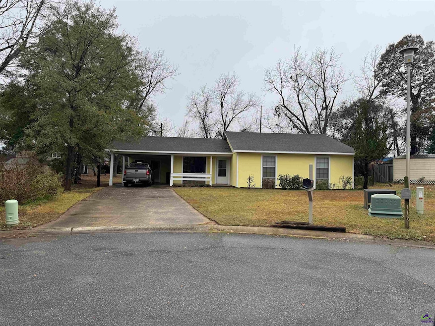
108 Renoir Ln Warner Robins, GA 31088
Highlights
- Covered Patio or Porch
- Fenced Yard
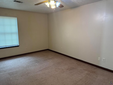
- Ceiling Fan
- Quail Run Elementary School Rated A
- Laundry Room
- Wood Siding
About This Home
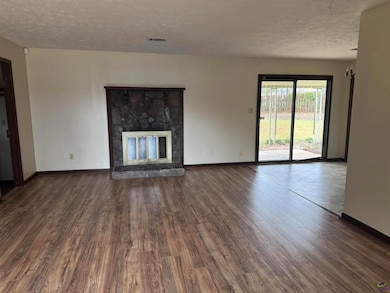
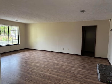
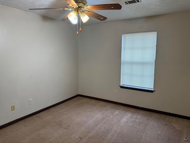
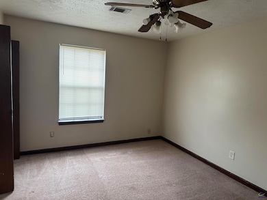
This lovely home is nestle in a cul-de-sac and Conveniently located near shopping and health care agencies near Watson Blvd. This home has been recently has been recently painted, it has spacious rooms throughout the home with a cover patio and laundry room. This home has a large fenced in back yard and double carport. Owner May consider small pet.

Home Details
Home Type
- Single Family
Est. Annual Taxes
- $1,350
Year Built
- Built in 1977
Lot Details
- Fenced Yard
Home Design
- Wood Siding
Interior Spaces
- 1,306 Sq Ft Home
- Ceiling Fan
- Blinds
- Laundry Room
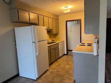
Kitchen
- Free-Standing Range
- Dishwasher
Flooring
- Carpet
- Laminate
- Vinyl
Bedrooms and Bathrooms
- 3 Bedrooms
- 2 Full Bathrooms
Parking
- 2 Car Garage
- Carport
Outdoor Features
- Covered Patio or Porch
- Outbuilding
Schools
- Quail Run Elementary School
- Warner Robins Middle School
- Warner Robins High School
Listing and Financial Details
- 12 Month Lease Term
Map
Source: Central Georgia MLS
MLS Number: 257539
APN: 0W78A0052000
Disclaimer: Certain information contained herein is derived from information provided by parties other than Homes.com. All information provided is deemed reliable, but is not guaranteed to be accurate and should be independently verified.
![]() IDX information is provided exclusively for personal, non-commercial use, and may not be used for any purpose other than to identify prospective properties consumers may be interested in purchasing. Information is deemed reliable but not guaranteed.
IDX information is provided exclusively for personal, non-commercial use, and may not be used for any purpose other than to identify prospective properties consumers may be interested in purchasing. Information is deemed reliable but not guaranteed.
- 100 Robins West Pkwy
- 331 Somerset Dr
- 268 Somerset Dr
- 282 Somerset Dr
- 1601 Leverette Rd
- 1485 Leverette Rd
- 105 Arnold St
- 195 Price Mill Trail
- 102 Price Mill Trail
- 104 Prestige Dr
- 800 King Richard Dr
- 408 Sunshine Way
- 107 Evelyn Dr
- 121 Margie Dr
- 205-437 Holt Ave
- 407 Collins Ave
- 320 Carl Vinson Pkwy
- 243 Katelyn Cir
- 213 Westwood Dr
- 107 Via Eldorado Dr