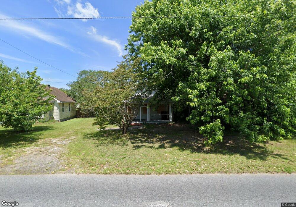
108 S Division St Fruitland, MD 21826
Estimated Value: $118,000 - $153,000
2
Beds
1
Bath
672
Sq Ft
$200/Sq Ft
Est. Value
About This Home
This home is located at 108 S Division St, Fruitland, MD 21826 and is currently estimated at $134,352, approximately $199 per square foot. 108 S Division St is a home located in Wicomico County with nearby schools including Fruitland Primary School, Fruitland Intermediate School, and Bennett Middle School.
Ownership History
Date
Name
Owned For
Owner Type
Purchase Details
Closed on
Jun 7, 2011
Sold by
Jade Enterprises L L C
Bought by
Disney Edward Charles
Current Estimated Value
Purchase Details
Closed on
May 31, 2011
Sold by
Jade Enterprises Llc
Bought by
Disney Edward Charles
Purchase Details
Closed on
Nov 25, 2002
Sold by
Matthews Edward S and Matthews Winifred L
Bought by
Jade Enterprises
Create a Home Valuation Report for This Property
The Home Valuation Report is an in-depth analysis detailing your home's value as well as a comparison with similar homes in the area
Home Values in the Area
Average Home Value in this Area
Purchase History
| Date | Buyer | Sale Price | Title Company |
|---|---|---|---|
| Disney Edward Charles | $55,000 | -- | |
| Disney Edward Charles | $55,000 | -- | |
| Disney Edward Charles | $55,000 | Real Estate Title & Escrow L | |
| Disney Edward Charles | $55,000 | -- | |
| Disney Edward Charles | $55,000 | -- | |
| Jade Enterprises | $38,000 | -- |
Source: Public Records
Mortgage History
| Date | Status | Borrower | Loan Amount |
|---|---|---|---|
| Closed | Jade Enterprises | -- |
Source: Public Records
Tax History Compared to Growth
Tax History
| Year | Tax Paid | Tax Assessment Tax Assessment Total Assessment is a certain percentage of the fair market value that is determined by local assessors to be the total taxable value of land and additions on the property. | Land | Improvement |
|---|---|---|---|---|
| 2025 | $441 | $51,233 | $0 | $0 |
| 2024 | $441 | $46,000 | $21,000 | $25,000 |
| 2023 | $453 | $45,367 | $0 | $0 |
| 2022 | $456 | $44,733 | $0 | $0 |
| 2021 | $451 | $44,100 | $21,000 | $23,100 |
| 2020 | $443 | $42,933 | $0 | $0 |
| 2019 | $437 | $41,767 | $0 | $0 |
| 2018 | $427 | $40,600 | $21,000 | $19,600 |
| 2017 | $427 | $40,600 | $0 | $0 |
| 2016 | $485 | $40,600 | $0 | $0 |
| 2015 | $485 | $51,000 | $0 | $0 |
| 2014 | $485 | $51,000 | $0 | $0 |
Source: Public Records
Map
Nearby Homes
- 212 Green St
- 213 N Brown St
- 215 N Brown St
- 229 Sand Castle Blvd
- 207 & 209 N Dulany Ave
- 221 N Brown St
- 223 N Brown St
- 103 W Main St
- 227 N Brown St
- 304 Elizabeth St
- 134 Liberty Way
- 318 Holiday St
- 3960 Saint Lukes Rd
- 202A School St
- 105 Russell Ave
- 111 Ridgefield Ln
- 209 W Main St
- 104 Horsetail Ct
- 211 Moonglow Rd
- 110 Moore Ave
- 106 S Division St
- 110 S Division St
- 104 S Division St
- 200 S Division St
- 310 Green St
- 314 Center St
- 204 S Division St
- 103 Hoover St
- 311 Center St
- 312 Green St
- 107 S Division St
- 312 Center St
- 310 Center St
- 309 Center St
- 105 S Division St
- 308 Center St
- 318 E Main St
- 308 Green St
- 306 Center St
- 314 E Main St