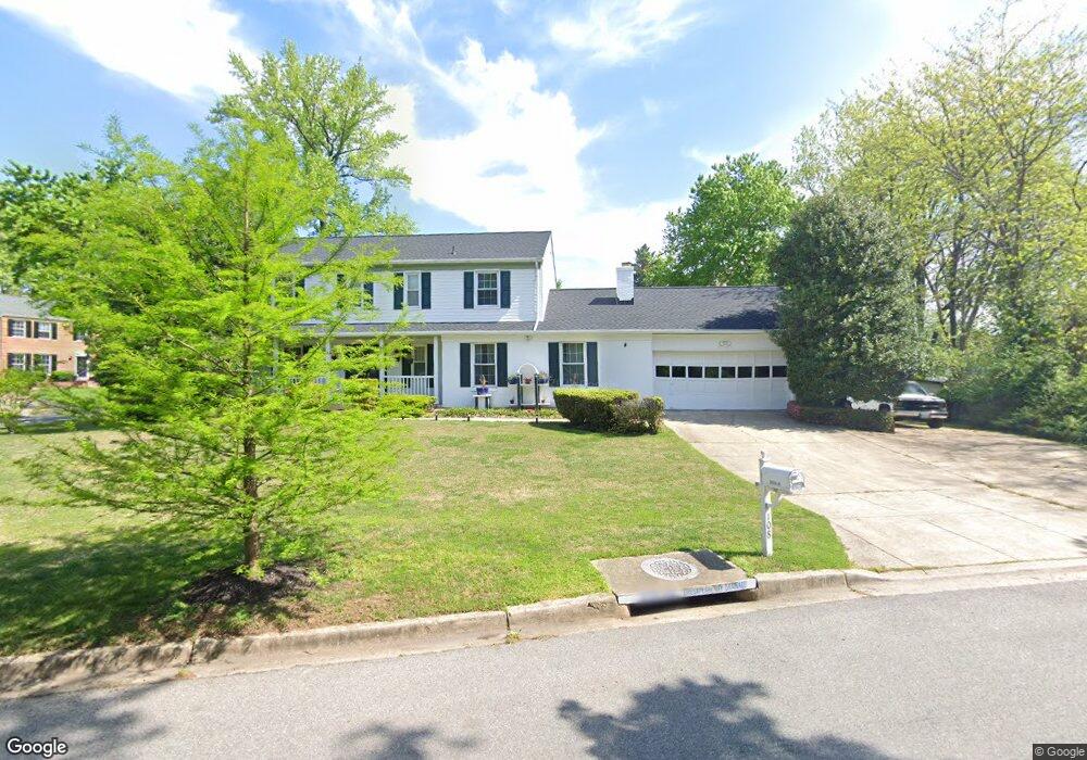
108 Saint Andrews Dr E Fort Washington, MD 20744
Estimated Value: $537,000 - $597,000
--
Bed
3
Baths
2,494
Sq Ft
$223/Sq Ft
Est. Value
About This Home
This home is located at 108 Saint Andrews Dr E, Fort Washington, MD 20744 and is currently estimated at $556,976, approximately $223 per square foot. 108 Saint Andrews Dr E is a home located in Prince George's County with nearby schools including Potomac Landing Elementary School, Accokeek Academy, and Friendly High School.
Ownership History
Date
Name
Owned For
Owner Type
Purchase Details
Closed on
Oct 14, 2004
Sold by
Walker Vanessa
Bought by
Graham Anthony M
Current Estimated Value
Purchase Details
Closed on
May 15, 2002
Sold by
Walker Louis
Bought by
Walker Vanessa
Purchase Details
Closed on
Dec 27, 1999
Sold by
Federal Home Loan Mortgage Corp
Bought by
Walker Louis and Walker Vanessa
Purchase Details
Closed on
Nov 9, 1998
Sold by
Mcduffie Lester T and Mcduffie Ella B
Bought by
Federal Home Loan Mortgage Corp
Create a Home Valuation Report for This Property
The Home Valuation Report is an in-depth analysis detailing your home's value as well as a comparison with similar homes in the area
Home Values in the Area
Average Home Value in this Area
Purchase History
| Date | Buyer | Sale Price | Title Company |
|---|---|---|---|
| Graham Anthony M | $339,282 | -- | |
| Walker Vanessa | -- | -- | |
| Walker Louis | $175,000 | -- | |
| Federal Home Loan Mortgage Corp | $156,290 | -- |
Source: Public Records
Tax History Compared to Growth
Tax History
| Year | Tax Paid | Tax Assessment Tax Assessment Total Assessment is a certain percentage of the fair market value that is determined by local assessors to be the total taxable value of land and additions on the property. | Land | Improvement |
|---|---|---|---|---|
| 2025 | $5,825 | $474,033 | -- | -- |
| 2024 | $5,825 | $455,300 | $127,000 | $328,300 |
| 2023 | $5,588 | $425,833 | $0 | $0 |
| 2022 | $4,408 | $396,367 | $0 | $0 |
| 2021 | $3,931 | $366,900 | $126,000 | $240,900 |
| 2020 | $9,838 | $353,767 | $0 | $0 |
| 2019 | $4,878 | $340,633 | $0 | $0 |
| 2018 | $4,575 | $327,500 | $101,000 | $226,500 |
| 2017 | $4,493 | $304,633 | $0 | $0 |
| 2016 | -- | $281,767 | $0 | $0 |
| 2015 | $4,518 | $258,900 | $0 | $0 |
| 2014 | $4,518 | $258,900 | $0 | $0 |
Source: Public Records
Map
Nearby Homes
- 12618 Prestwick Dr
- 12700 Parkton St
- 12800 Asbury Dr
- 200 Bonhill Dr
- 202 Bonhill Dr
- 500 Bonhill Dr
- 12417 Parkton St
- 500 Holly Rd
- 12817 Glasgow Ct
- 502 Castleray Cir
- 504 Holly Rd
- 518 W Tantallon Dr
- 411 Rexburg Ave
- 13030 Old Fort Rd
- 509 Troon Cir
- 12306 Dendron Place
- 513 Holly Rd
- 13305 Old Fort Rd
- 0 Holly Rd Unit MDPG2160552
- 12301 Arrow Park Dr
- 12604 Abbottsford Cir
- 12625 Macduff Dr
- 109 Saint Andrews Dr E
- 12623 Macduff Dr
- 12607 Abbottsford Cir
- 12609 Abbottsford Cir
- 107 Saint Andrews Dr E
- 12600 Abbottsford Cir
- 12605 Abbottsford Cir
- 12703 Macduff Dr
- 12621 Macduff Dr
- 12601 Abbottsford Cir
- 105 Saint Andrews Dr E
- 114 Saint Andrews Dr E
- 12626 Prestwick Dr
- 12707 Macduff Dr
- 12611 Lagrange Ct
- 12628 Prestwick Dr
- 12700 Macduff Dr
- 12624 Prestwick Dr